This post is “too long for email”, so Substack might cut it short in your inbox. If that happens, click ‘View in browser’ at the top right of the email to read the full content.
One of my favorite things about Colorado is easy access to beautiful locations. One way to enjoy these Colorado views is to drive up to the top of a mountain pass. If you are a first-time visitor to Colorado, I recommend driving over Loveland, Independence, Wolf Creek, or Cottonwood Pass. These passes provide unreal mountain scenes from the seat of a car while also having a place to stop at the top of the pass where you can see for miles in the distance.
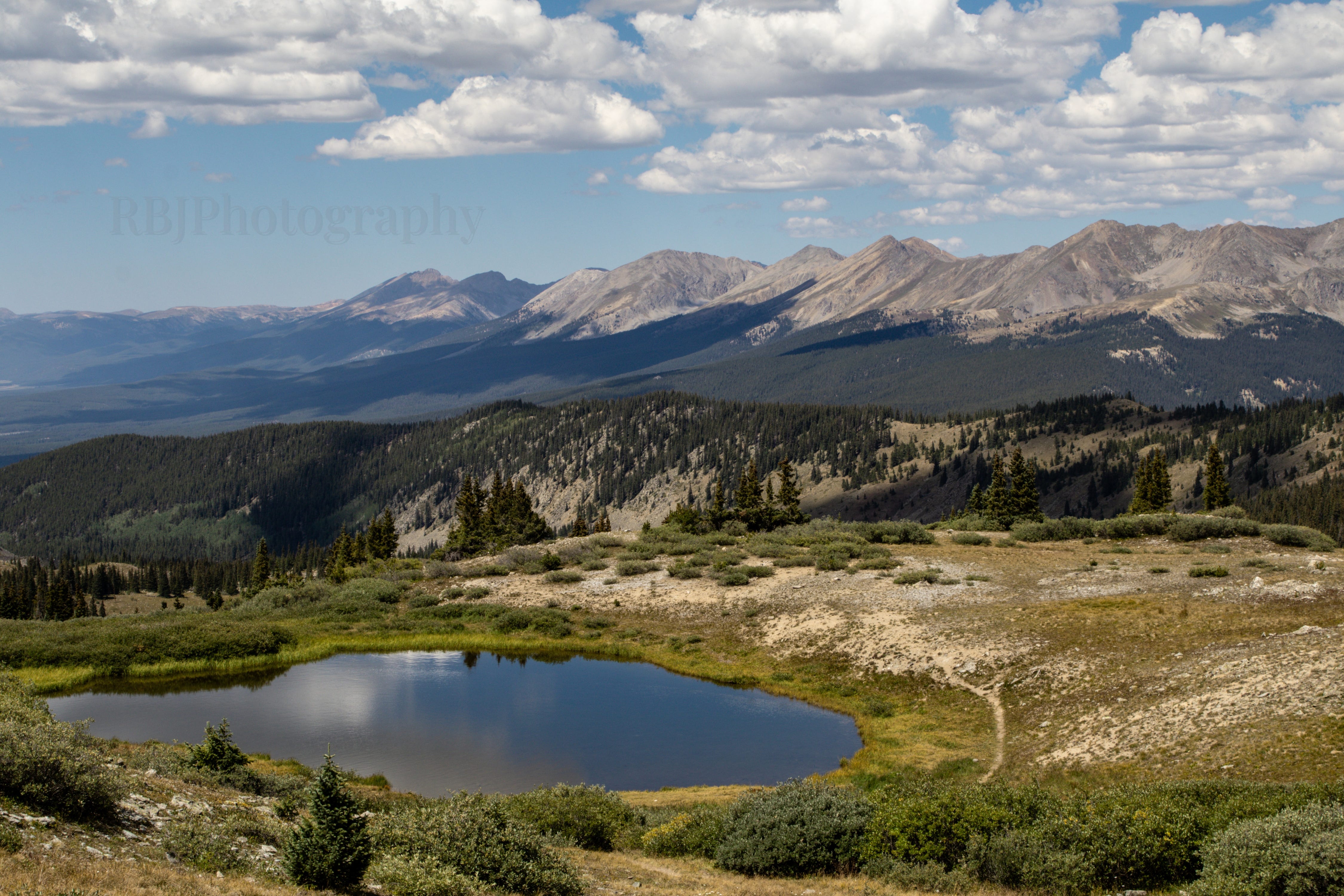
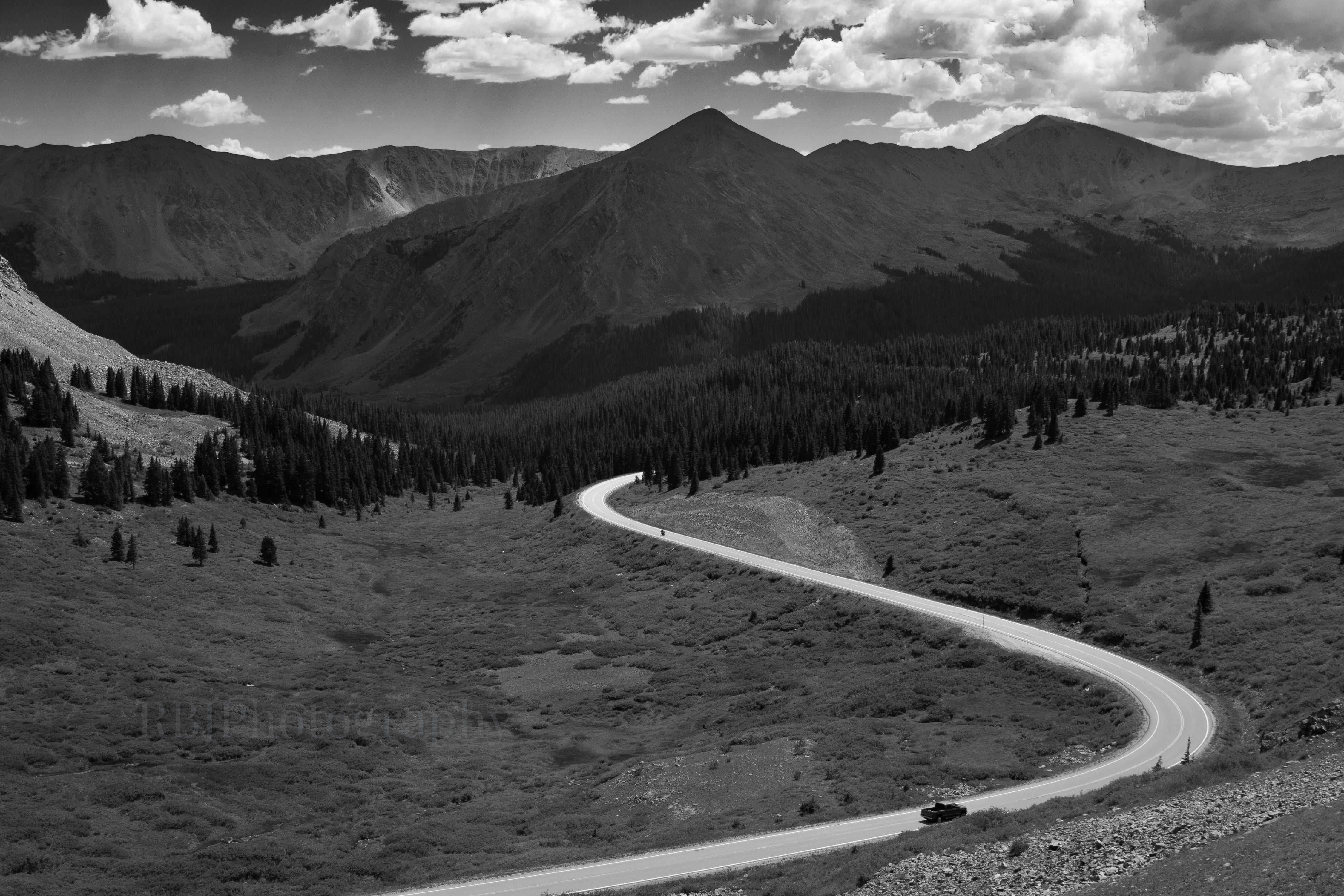
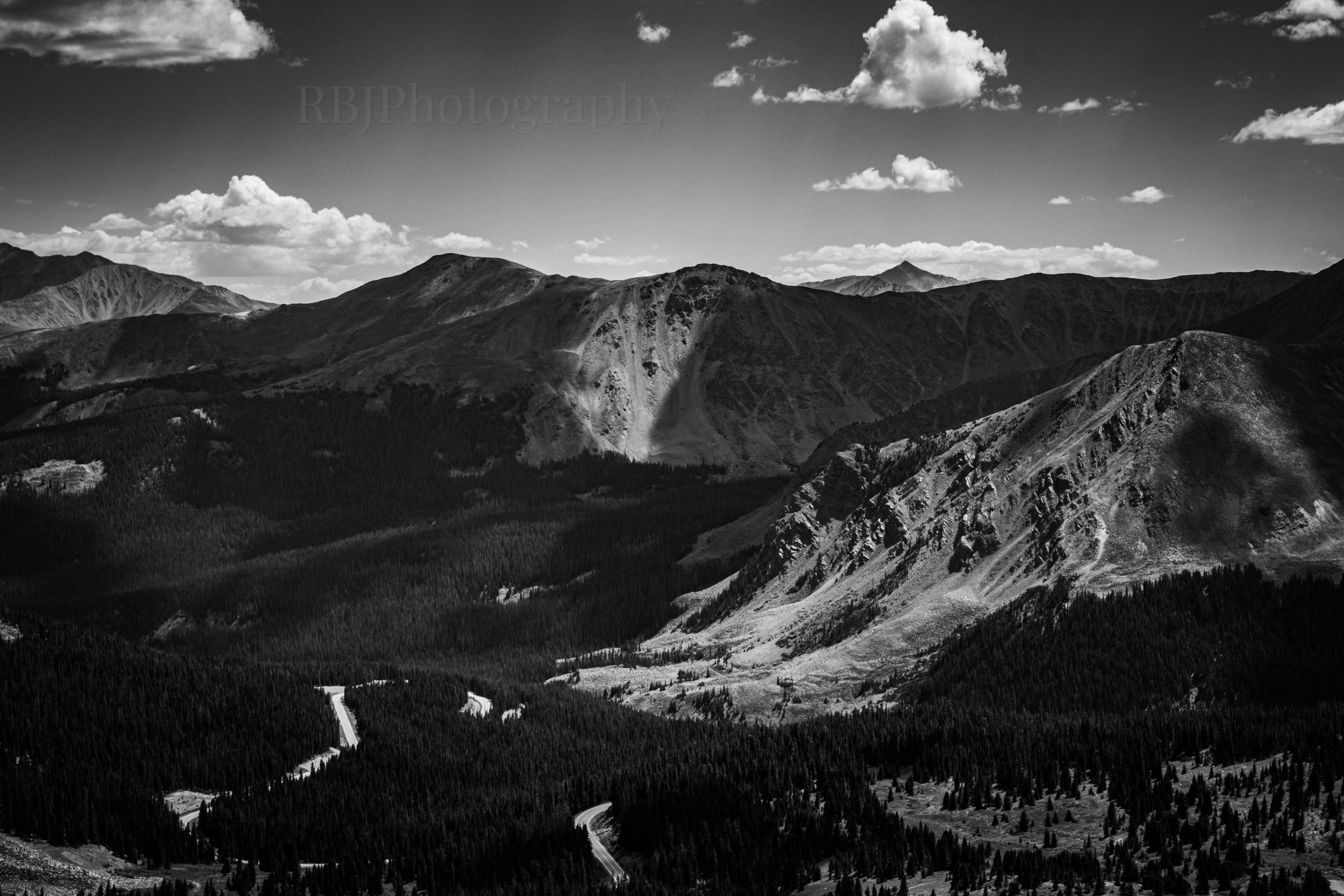
Anyone who has lived in Colorado long enough will see the two pictures below and say, “Yep, that’s Cottonwood Pass.”
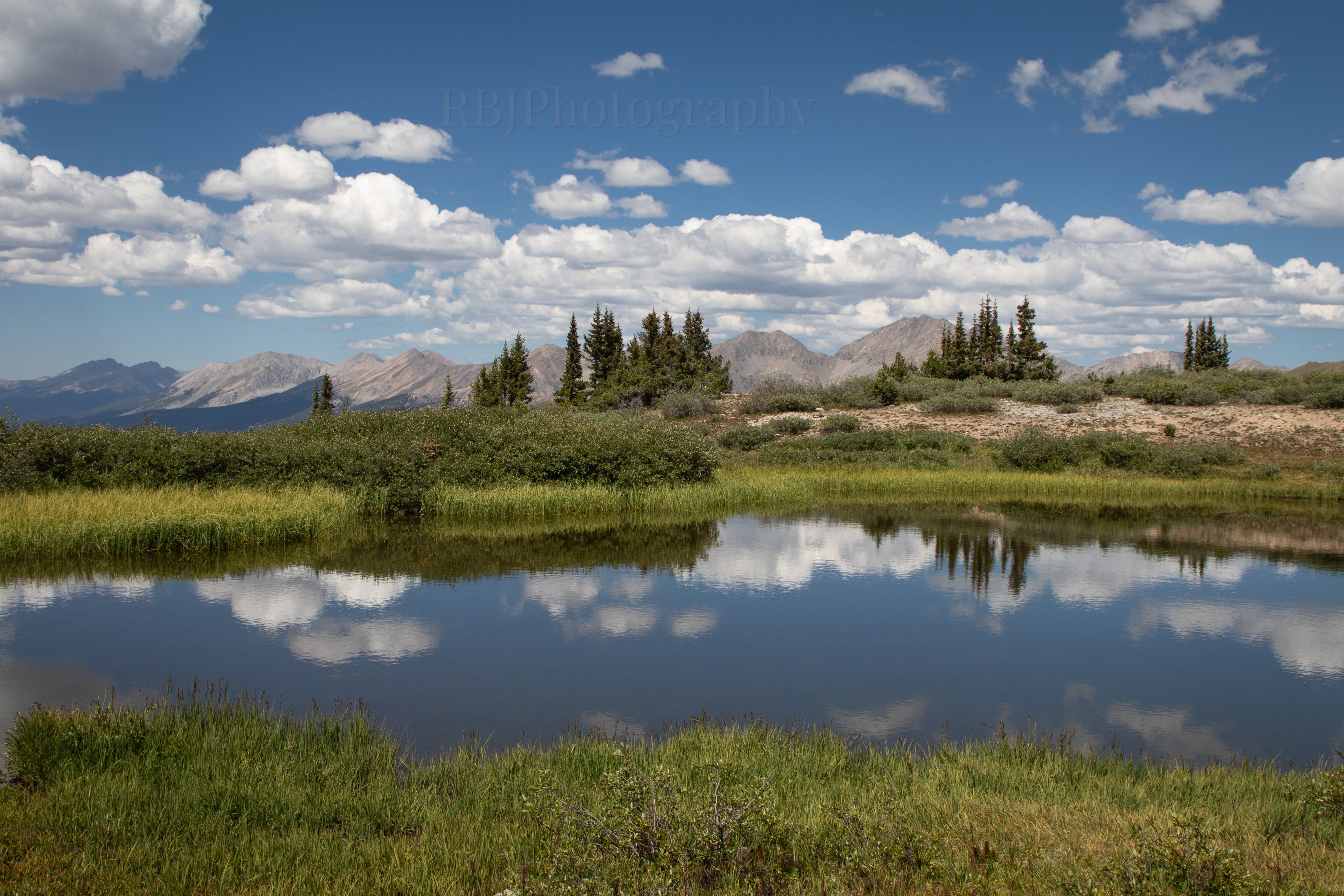
An unnamed pond in front of the Sawatch Range. The most prominent peak in the bunch is Grizzly Peak (13,287 ft).
The truck is driving east down the pass towards Buena Vista. Jones Mountain (13,209 ft) is the tallest peak on the right.
To see either of these views, you park your car in the lot, get out, and walk about 30 steps to your right or left. Because I’m from Iowa, the hilly land of pigs and corn, it still blows my mind that someone can see these mountain landscapes without hiking for them. They’re just right there.
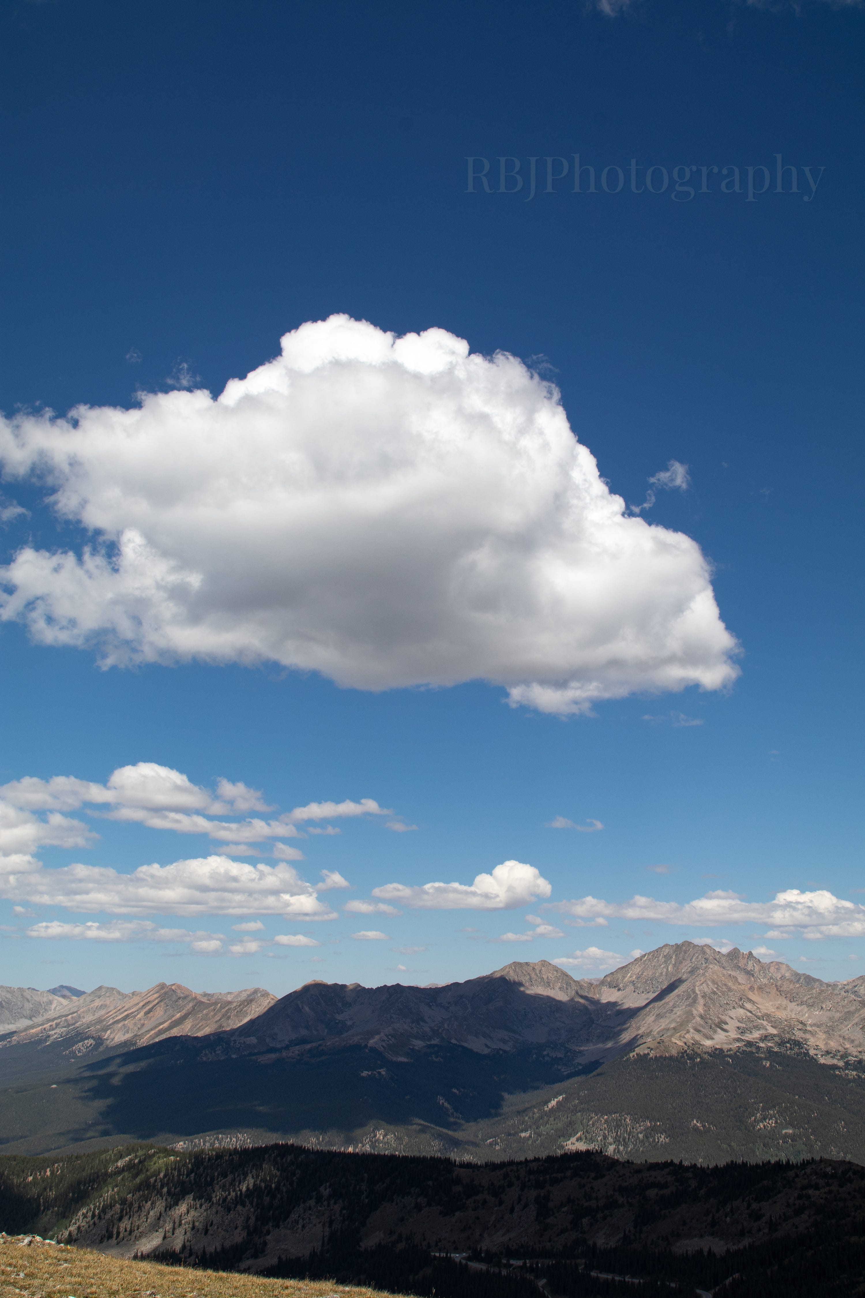
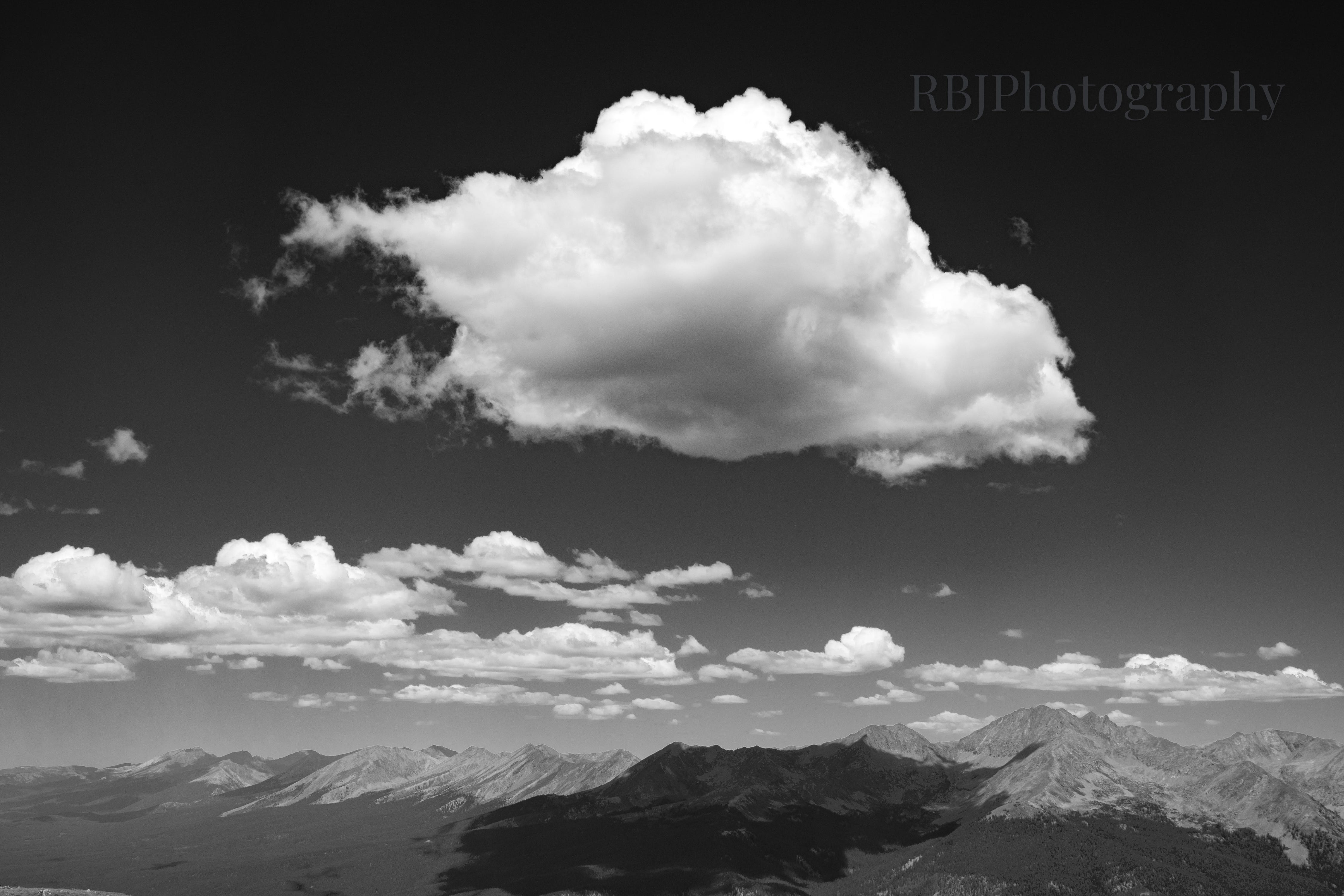
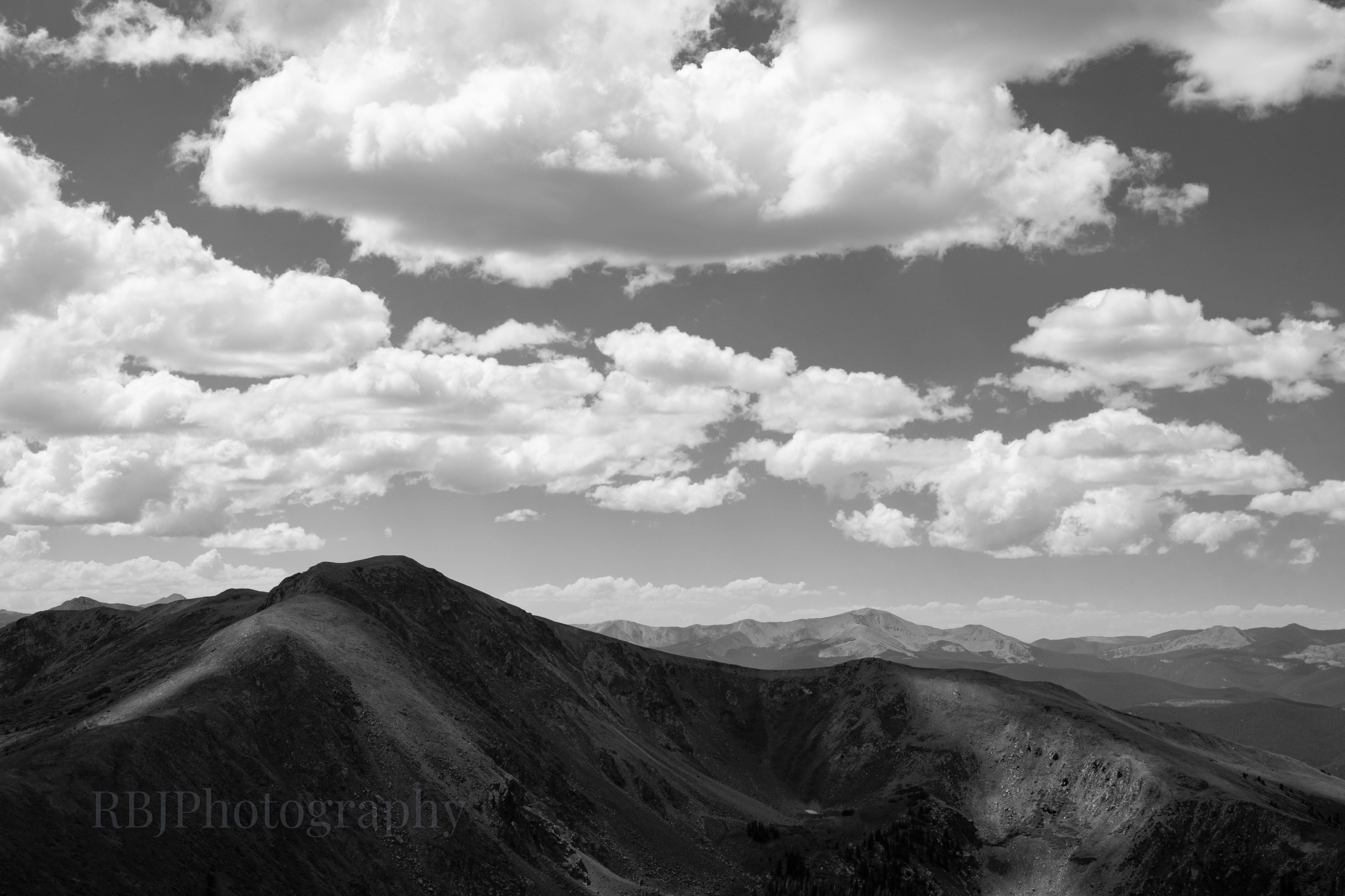
I’ve driven over Cottonwood Pass a handful of times. However, when planning for a weekend near Buena Vista, I found a short hike off of Cottonwood Pass (along the Continental Divide Trail) that I could do while Adam rode his bike. He was intrigued by the hike and joined me instead. So we spent a couple of hours on a Saturday, above 12,000 feet, watching the clouds shadow the mountains. Many of these pictures are redundant with the same mountain subjects, from a slightly different angle or zoomed in or out. I couldn’t help myself - it was absolutely gorgeous, and the shadows were calling my name!
The Three Apostles above Colorado 306 before the pass parking lot.
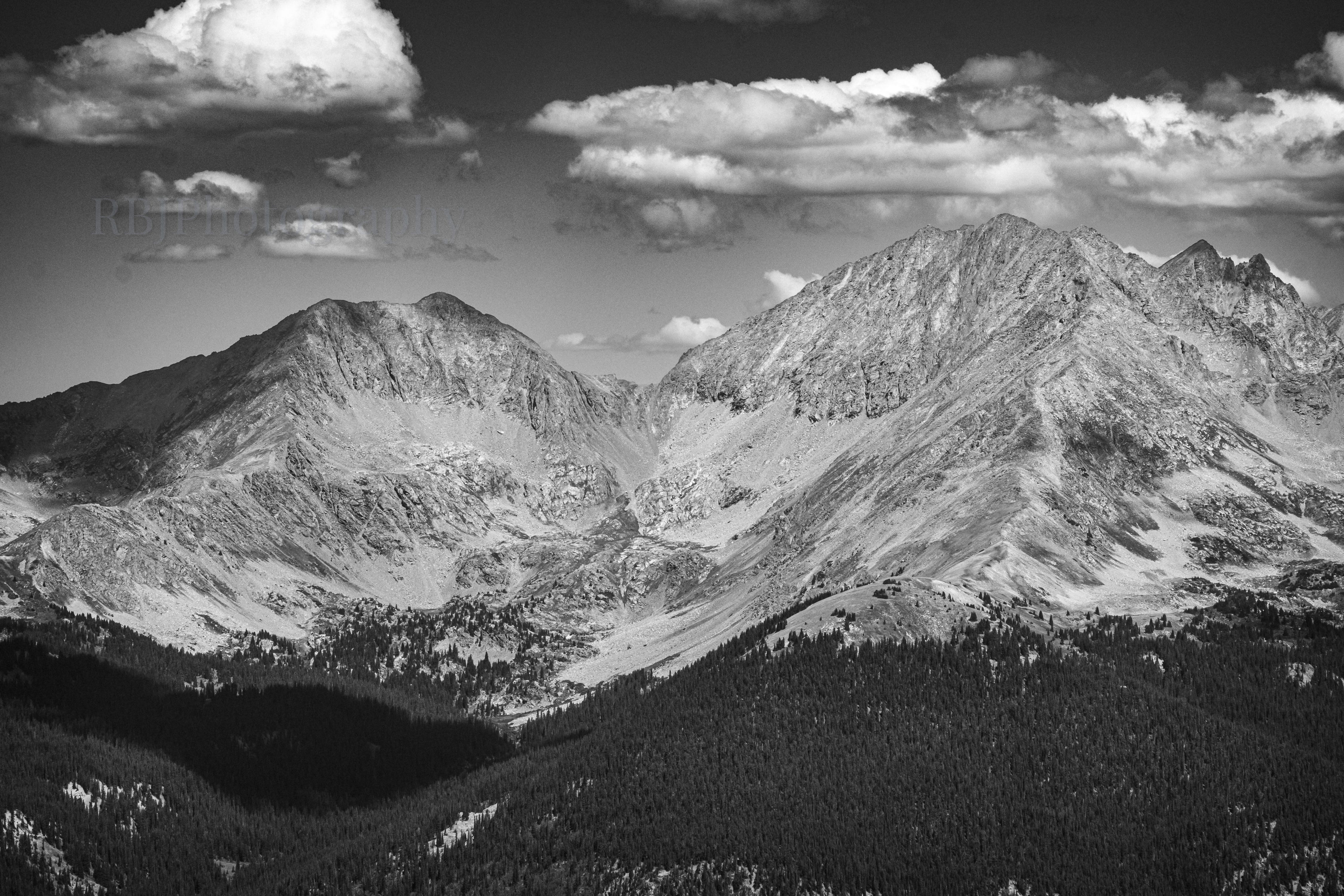
A vertical shot of Ice Mountain (13,960 ft), the most prominent of the Three Apostles.
There are alpine lakes up there between Ice Mountain and West Apostle; I just know it…
Headed up. You can see the switchbacks of the trail. The parking lot is just to the left of this image.
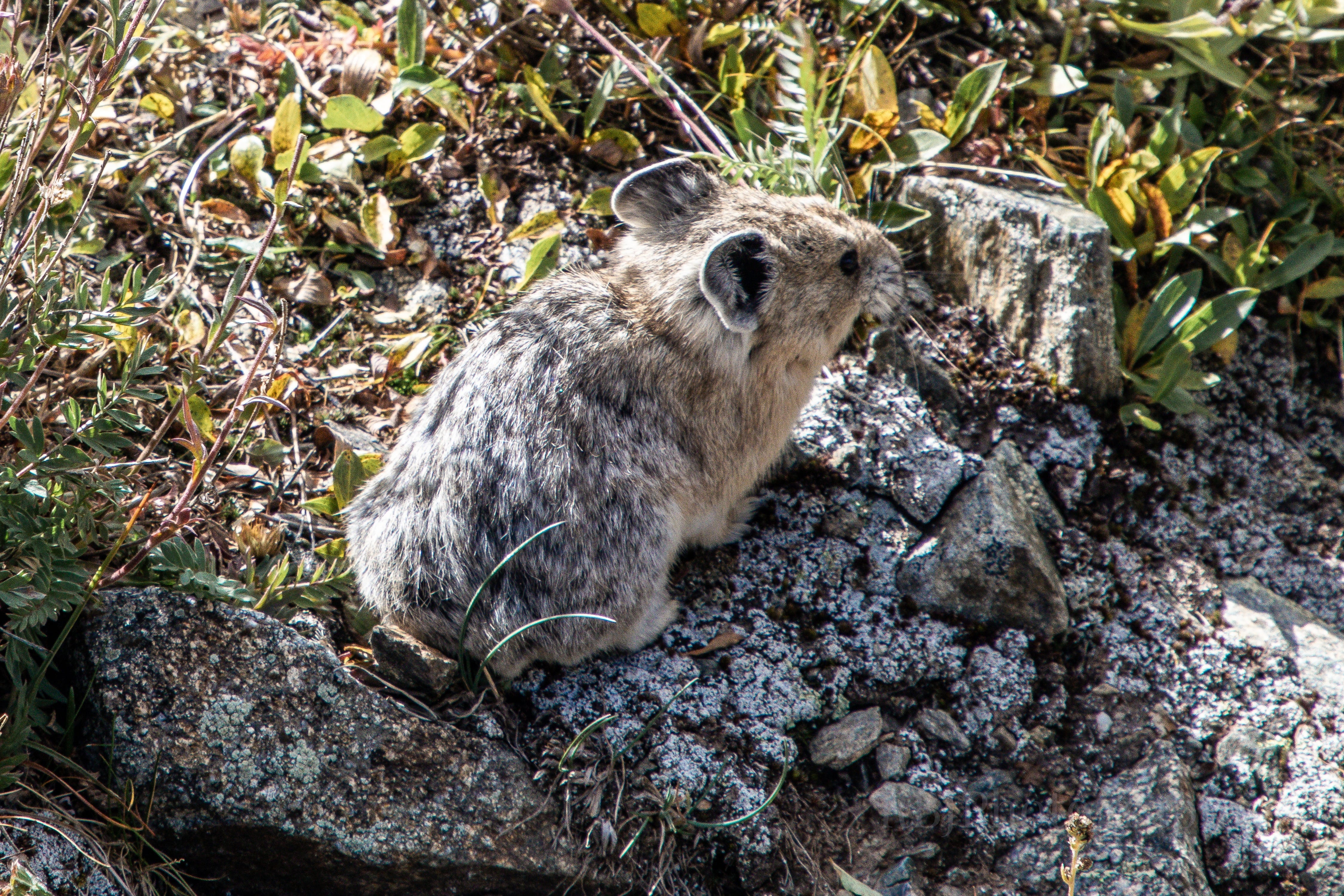
This little pika moved so damn quick that I only got one picture of it. SO CUTE and SO PISSED that we were hiking near it.
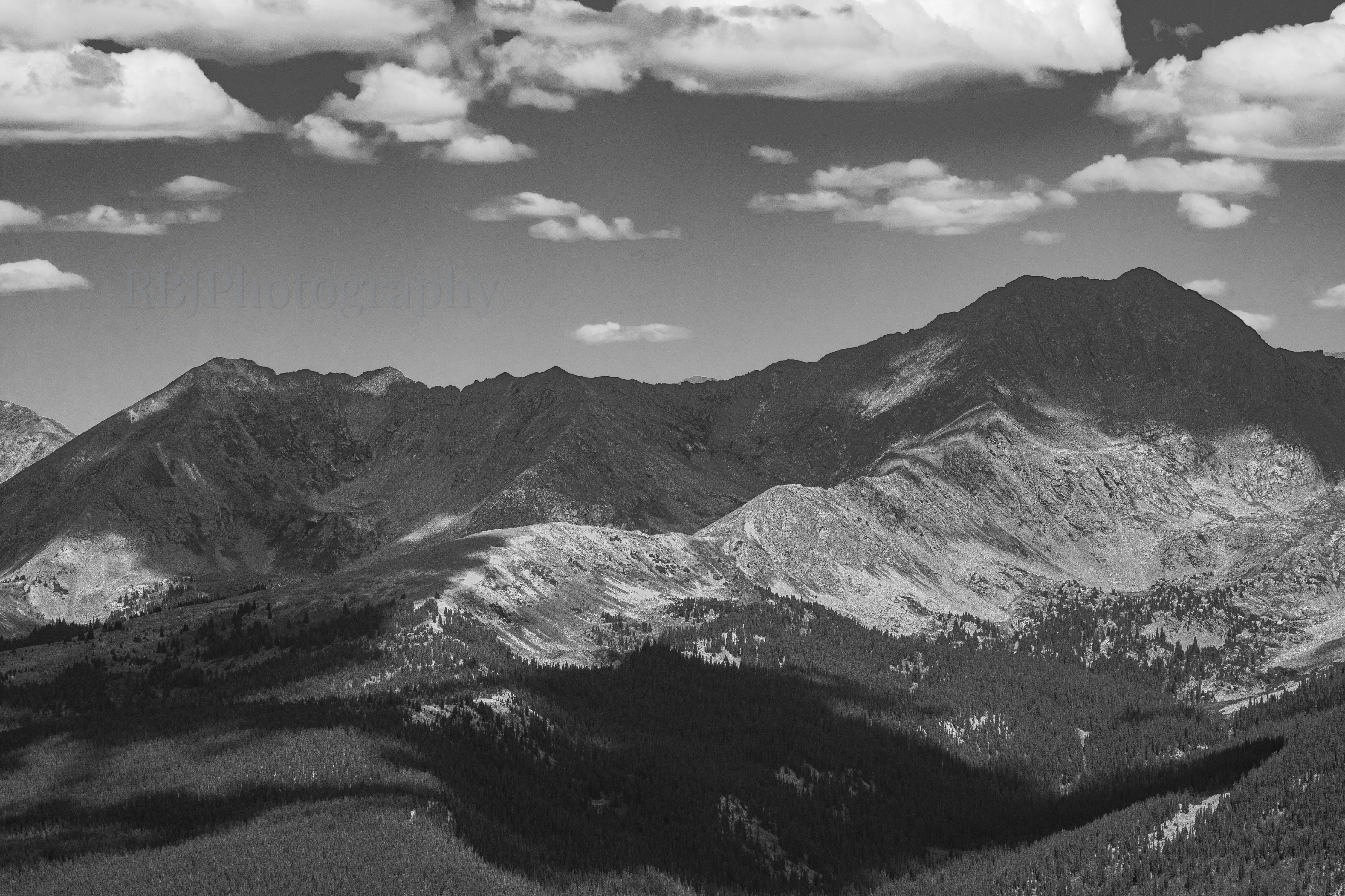
A shadowed West Apostle.
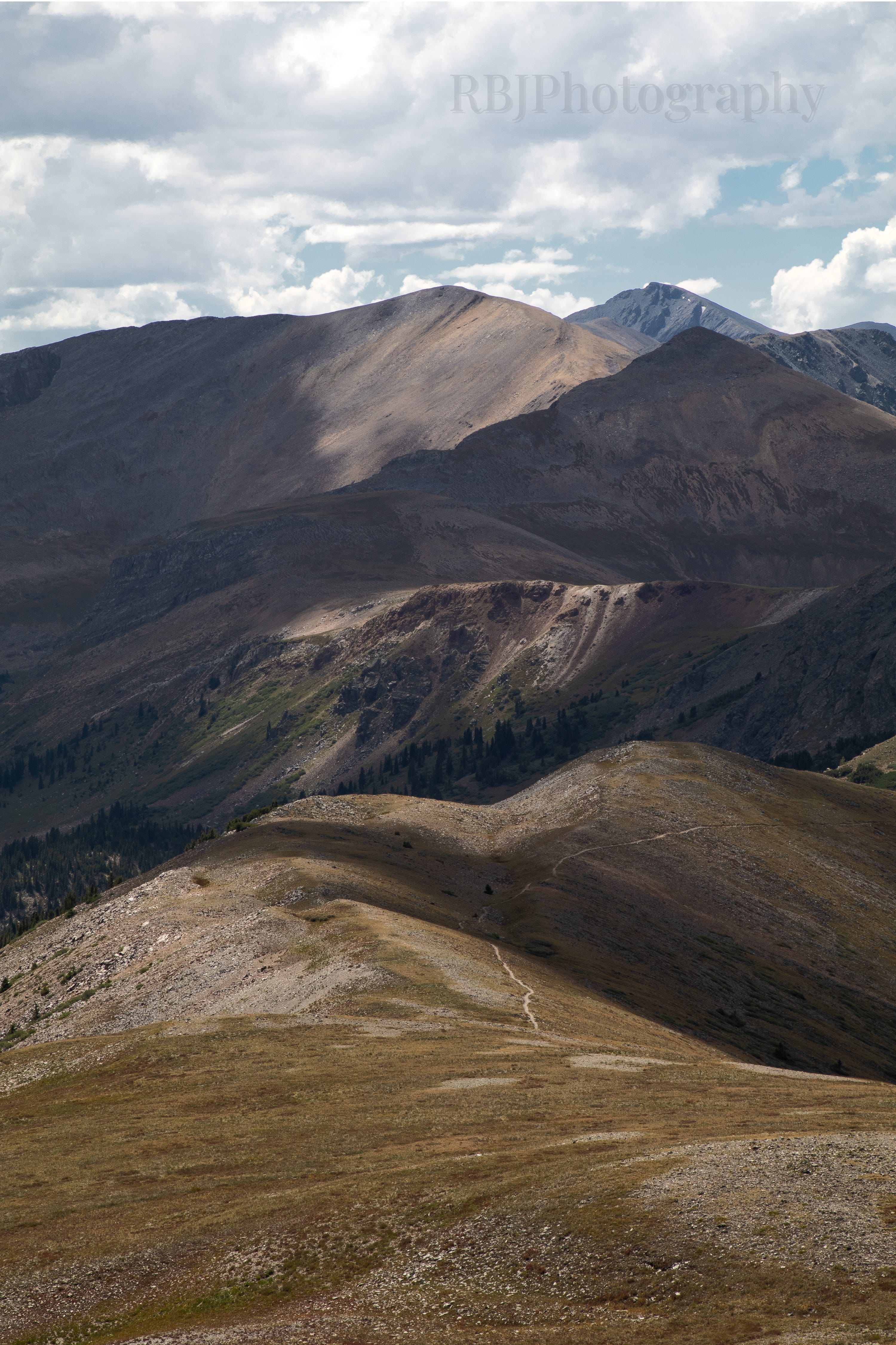
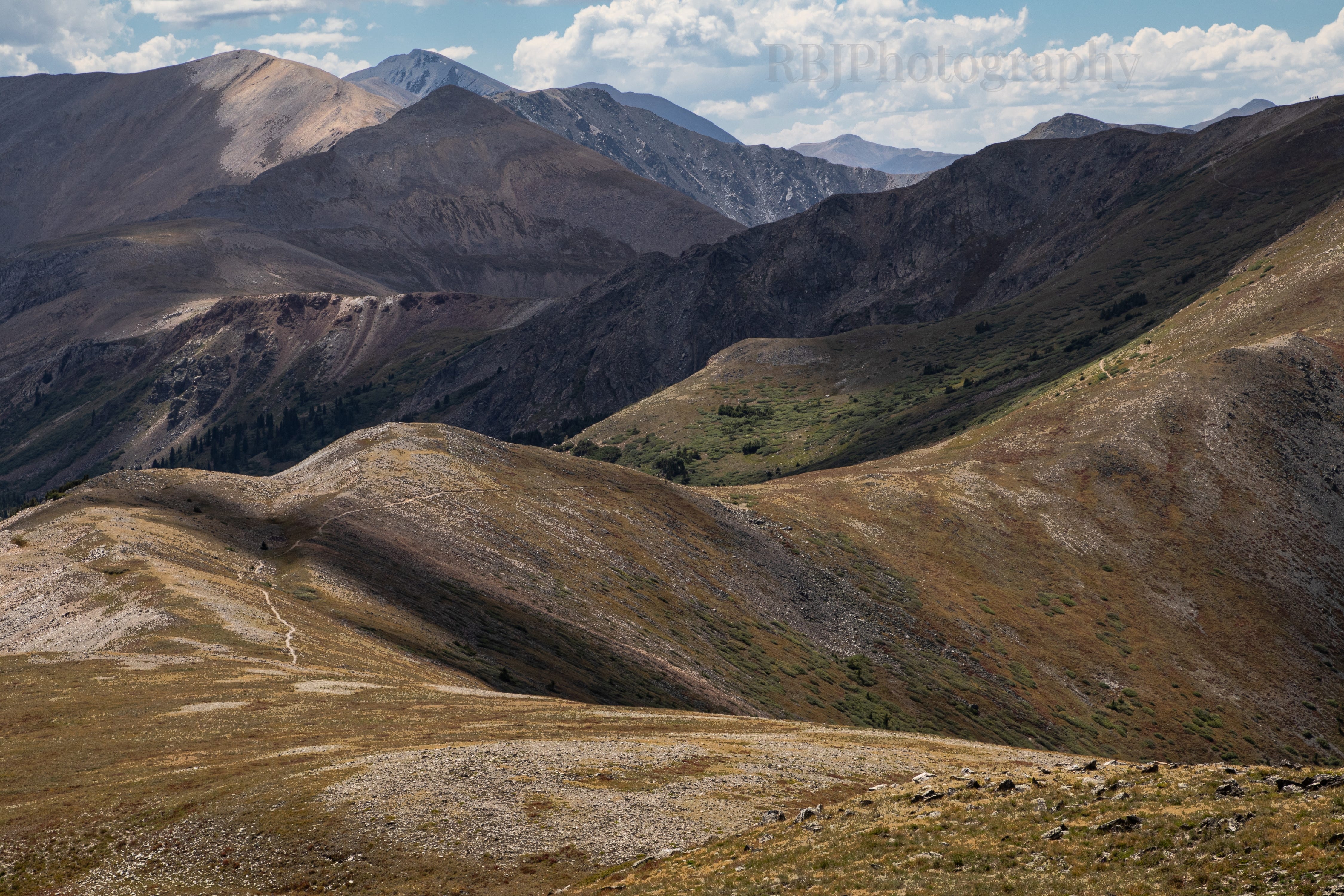
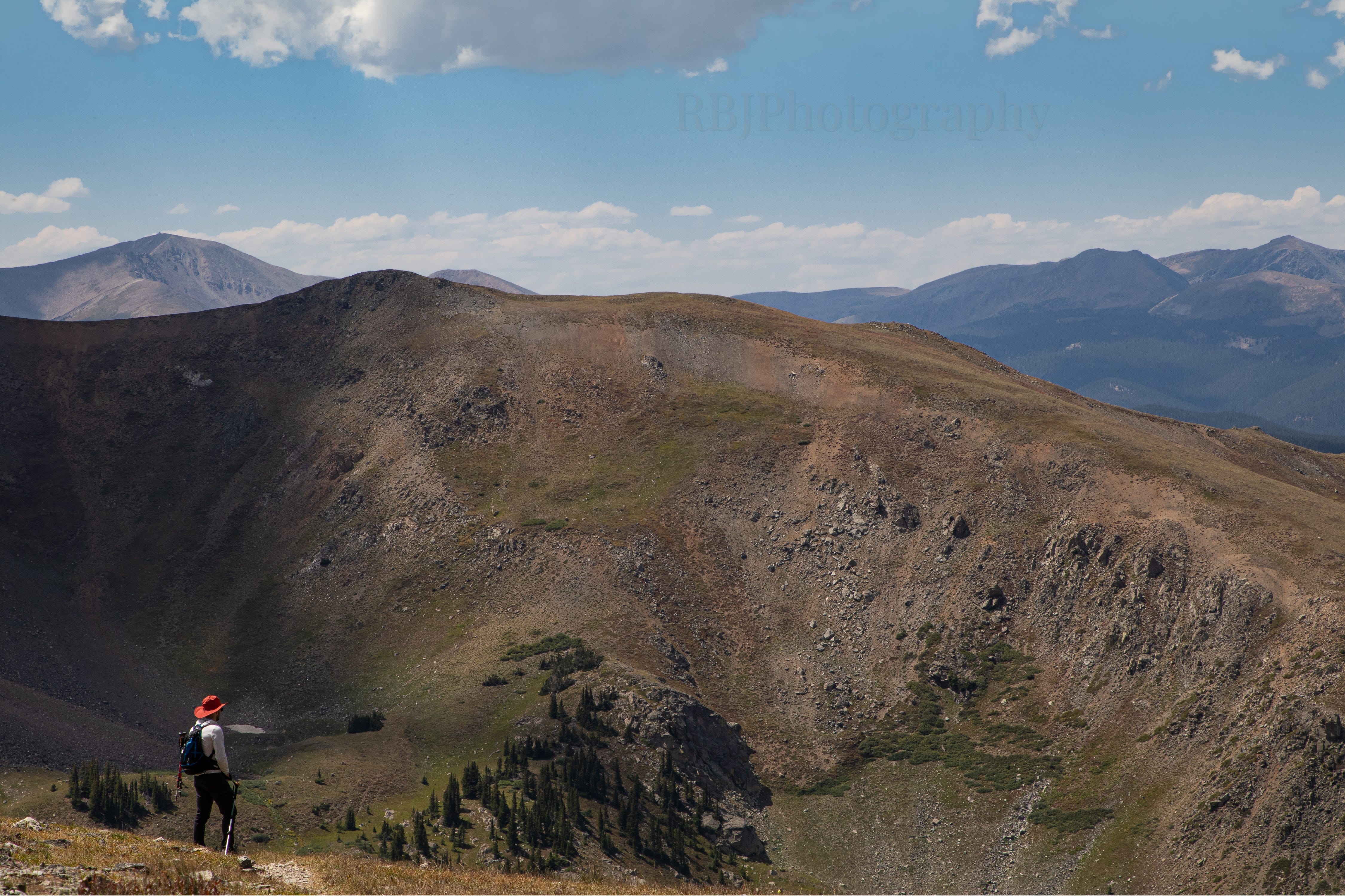
Jones Mountain (13,209 ft) on the left covered in a shadow.
Emma Burr Mountain (13,550 ft) peeking out in the back right.
This little cloud made me laugh. Adam and I watched it drift closer to us - we joked about being able to touch it.
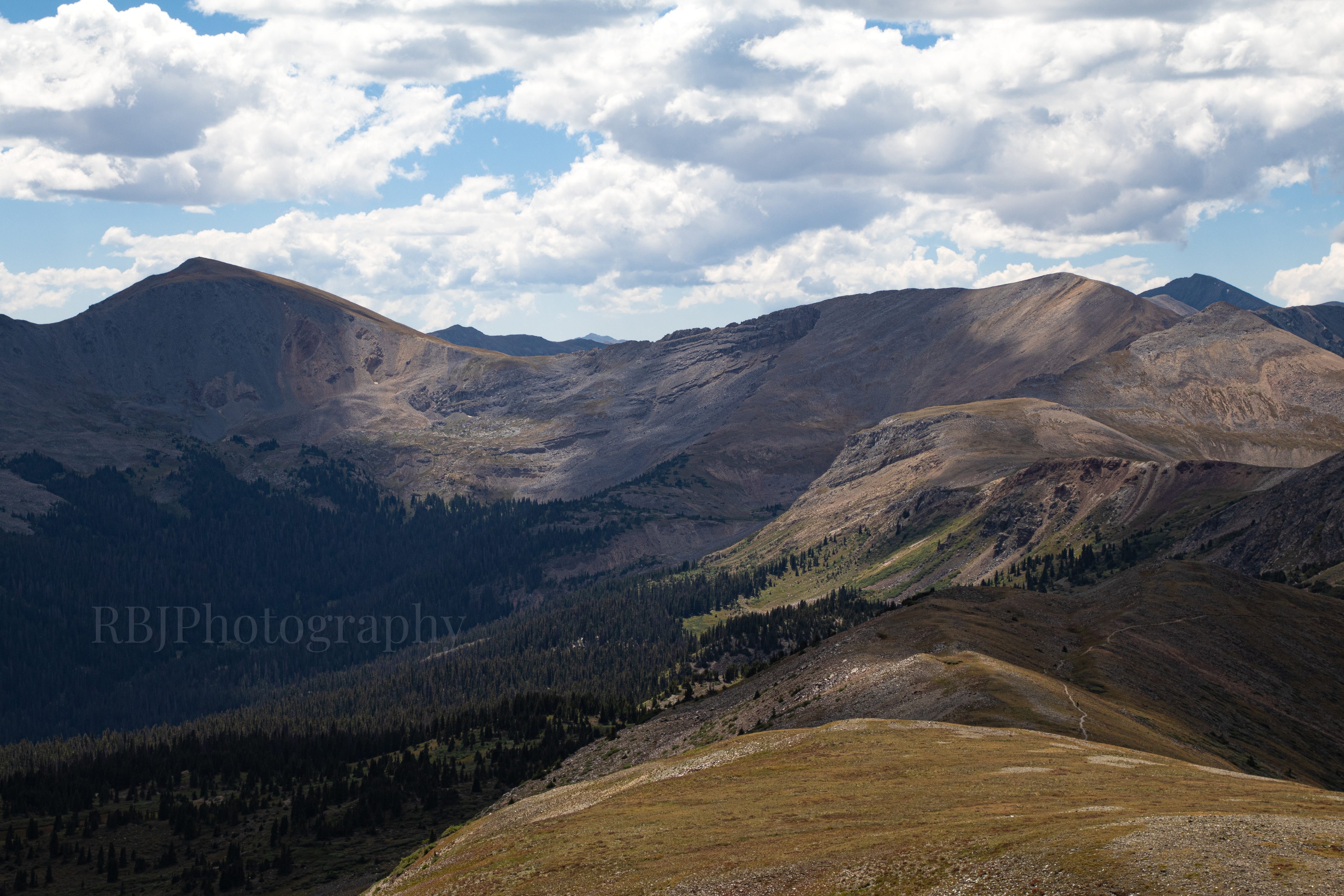
Fairview Peak (13,219) in the background.
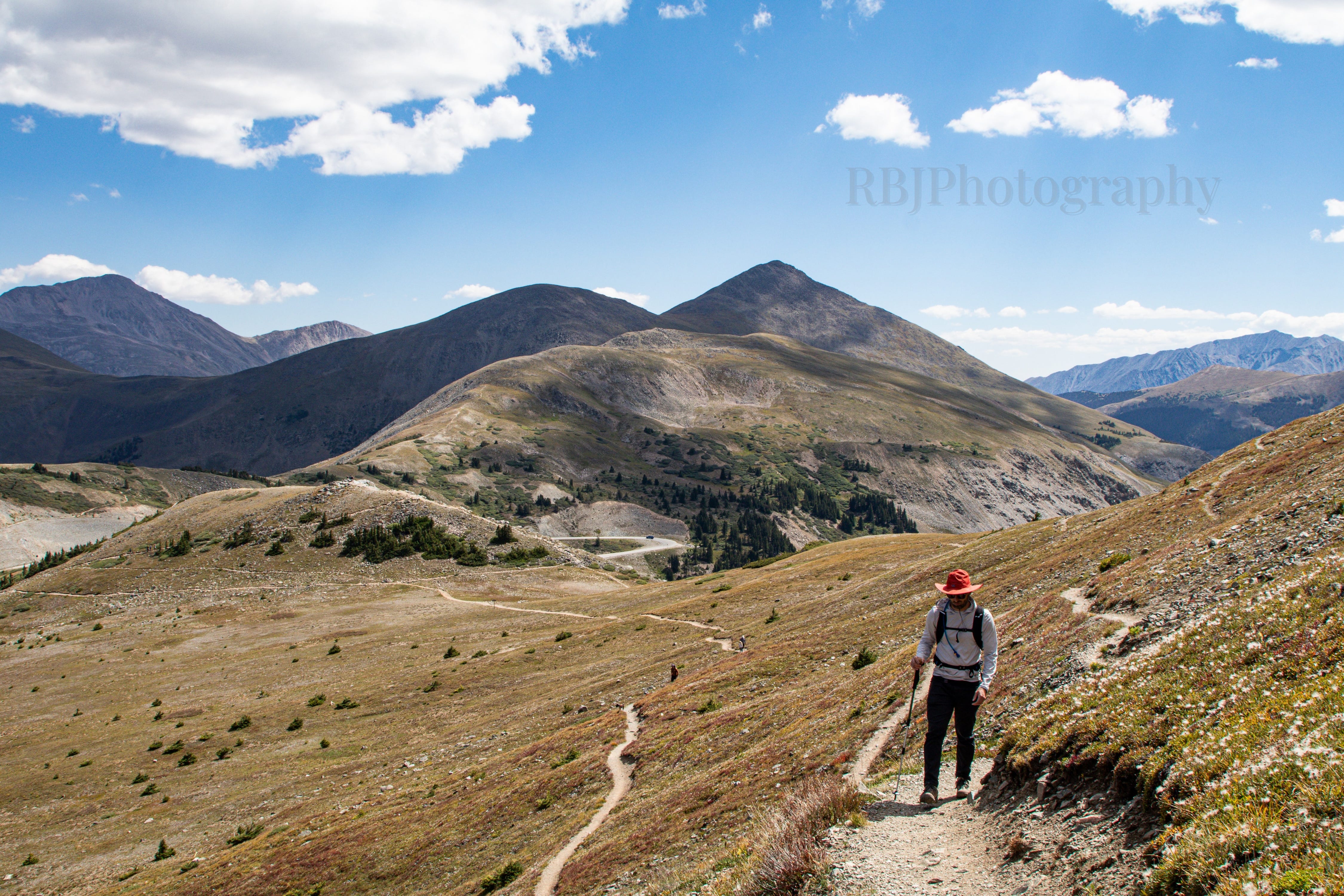
All I could think about while at our turnaround spot was “leading lines.”
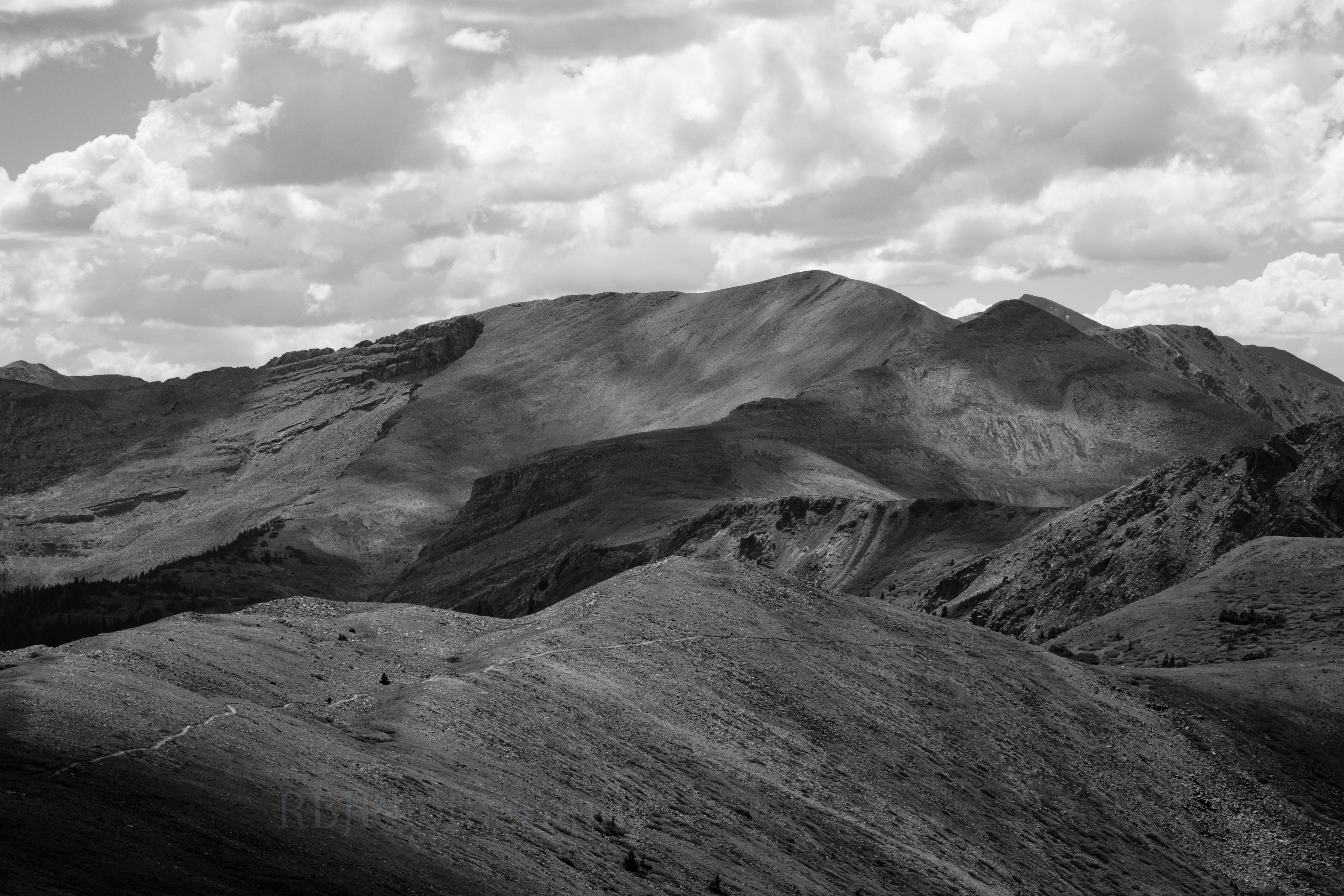
The trail kept along the ridge to the right. I have no plans to hike the entirety of the Continental Divide Trail, but Adam agreed that we should come back here and hike a bit further. The views won’t change too much, but it’s too gorgeous to pass up.
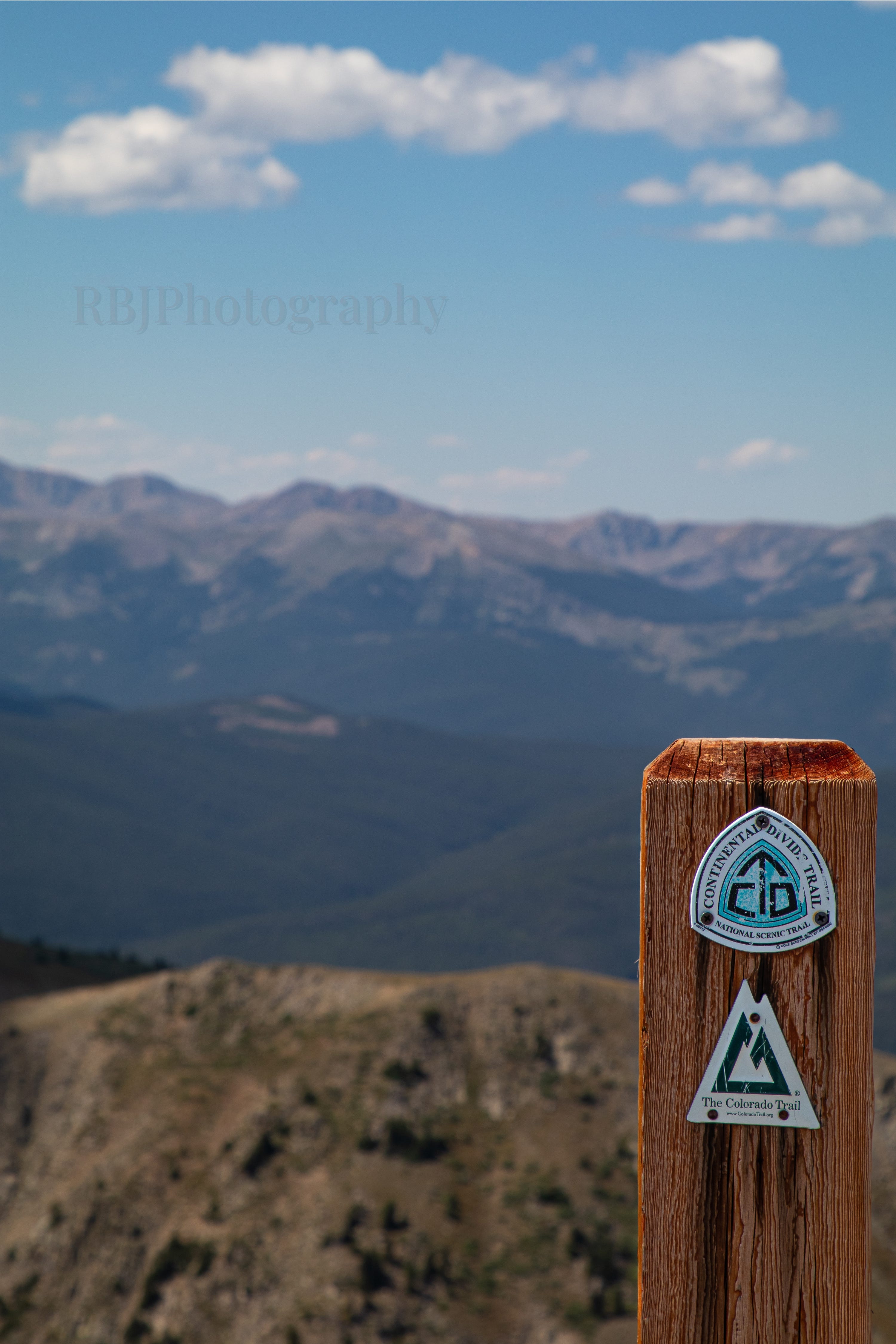
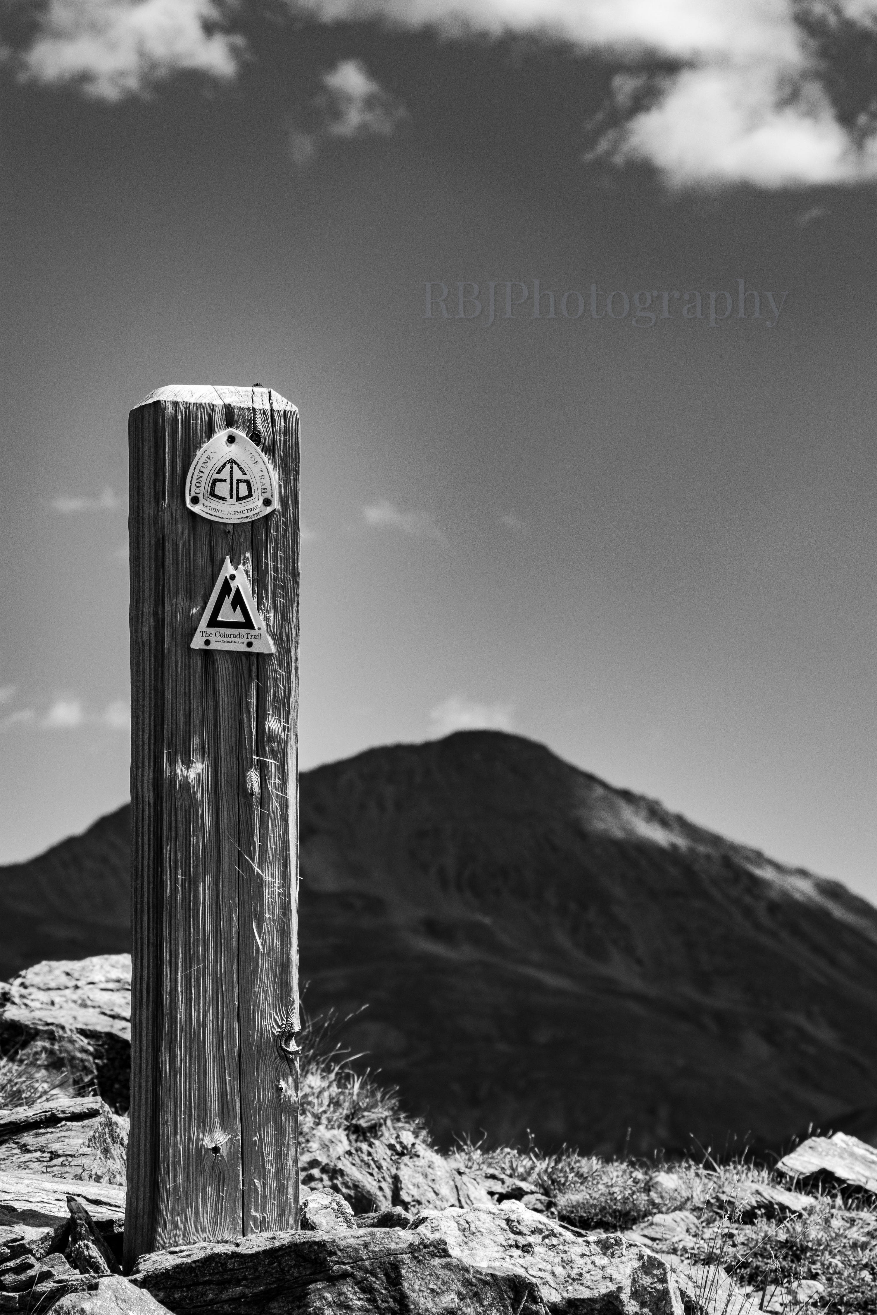
Trail marker looking back to the north.
Such a picturesque location (with Adam for context)
I loved how the light and shadows brought out the trail along the ridge.
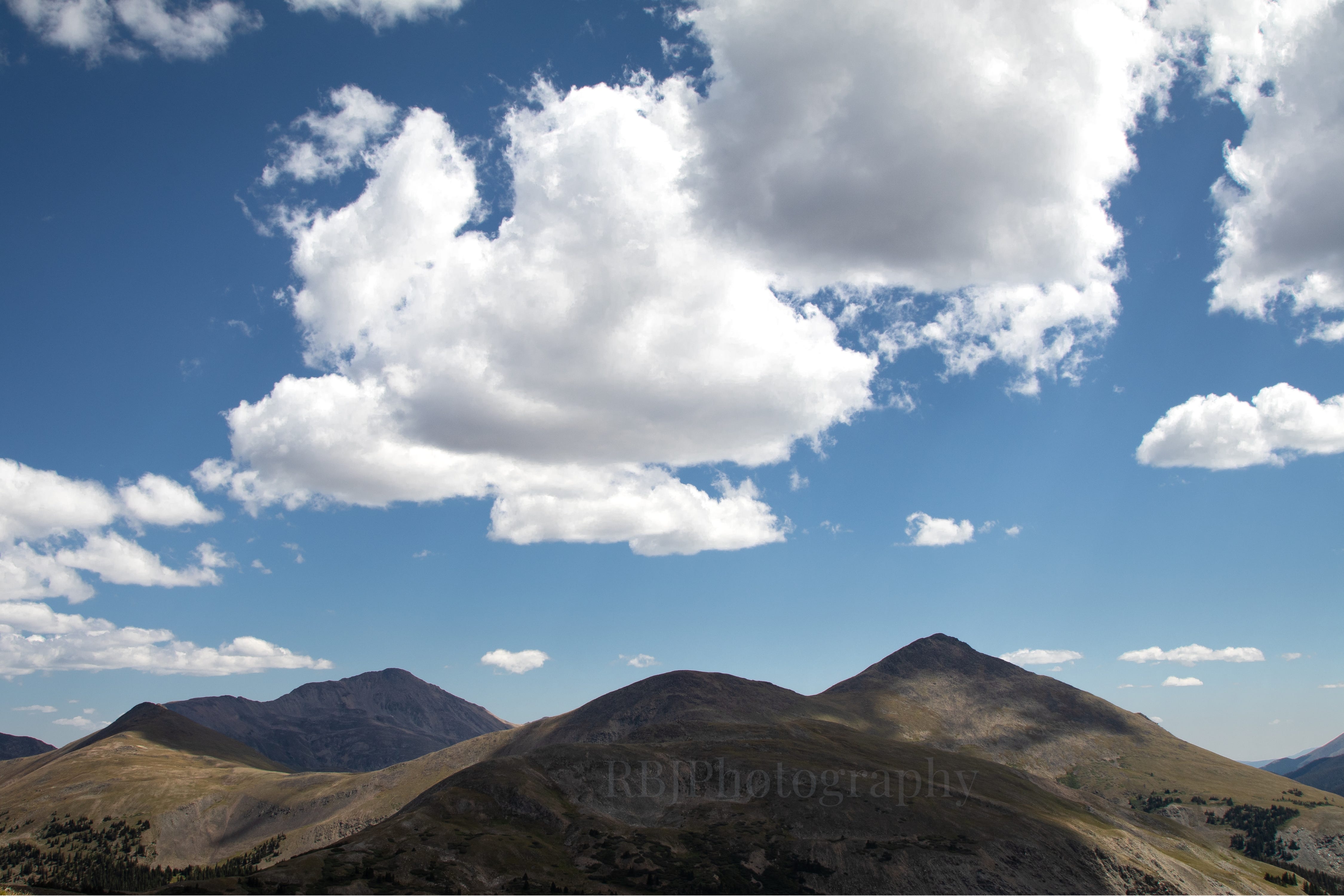
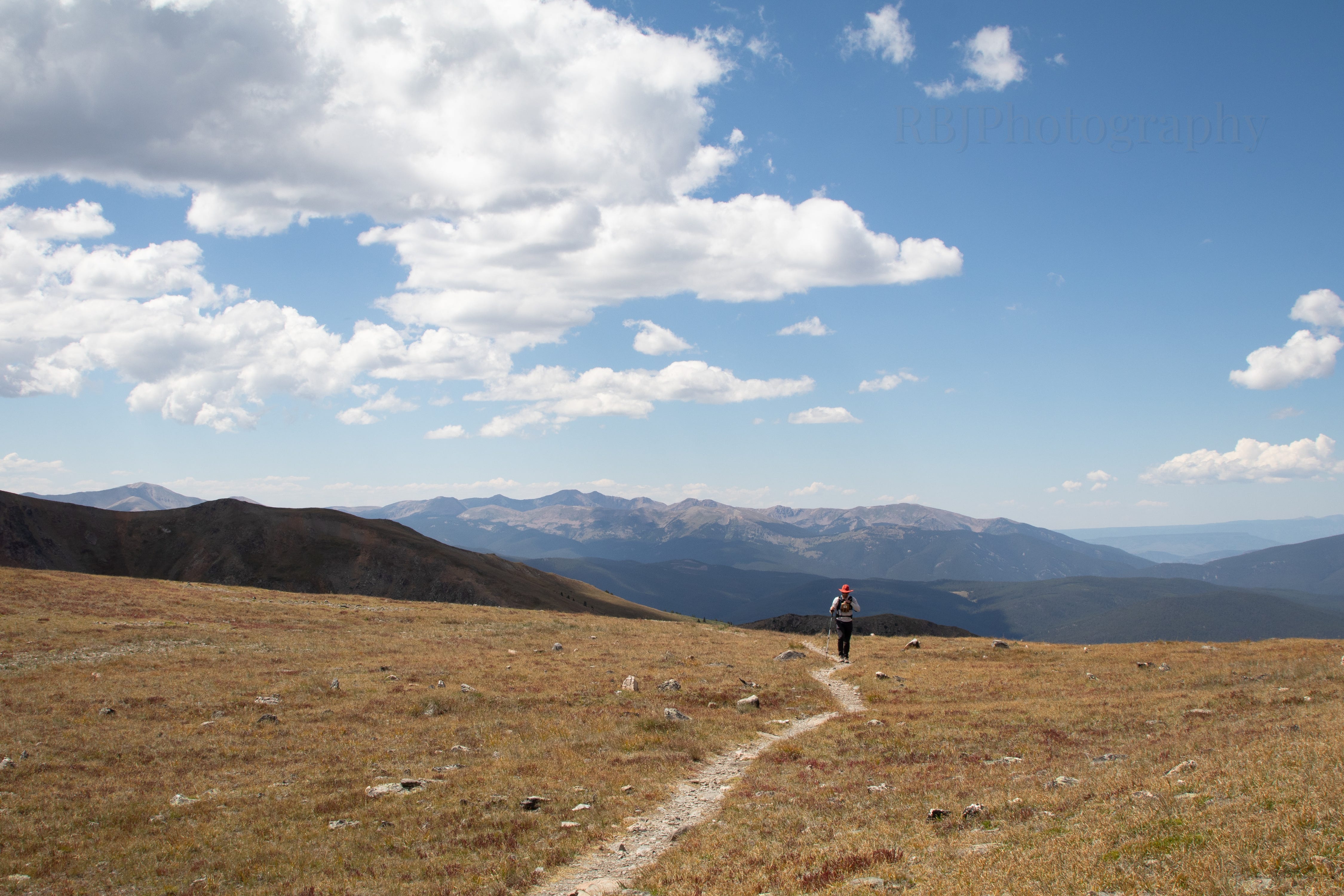
Headed back with the West Elk Mountains to the south (the range west of Gunnison and Crested Butte).
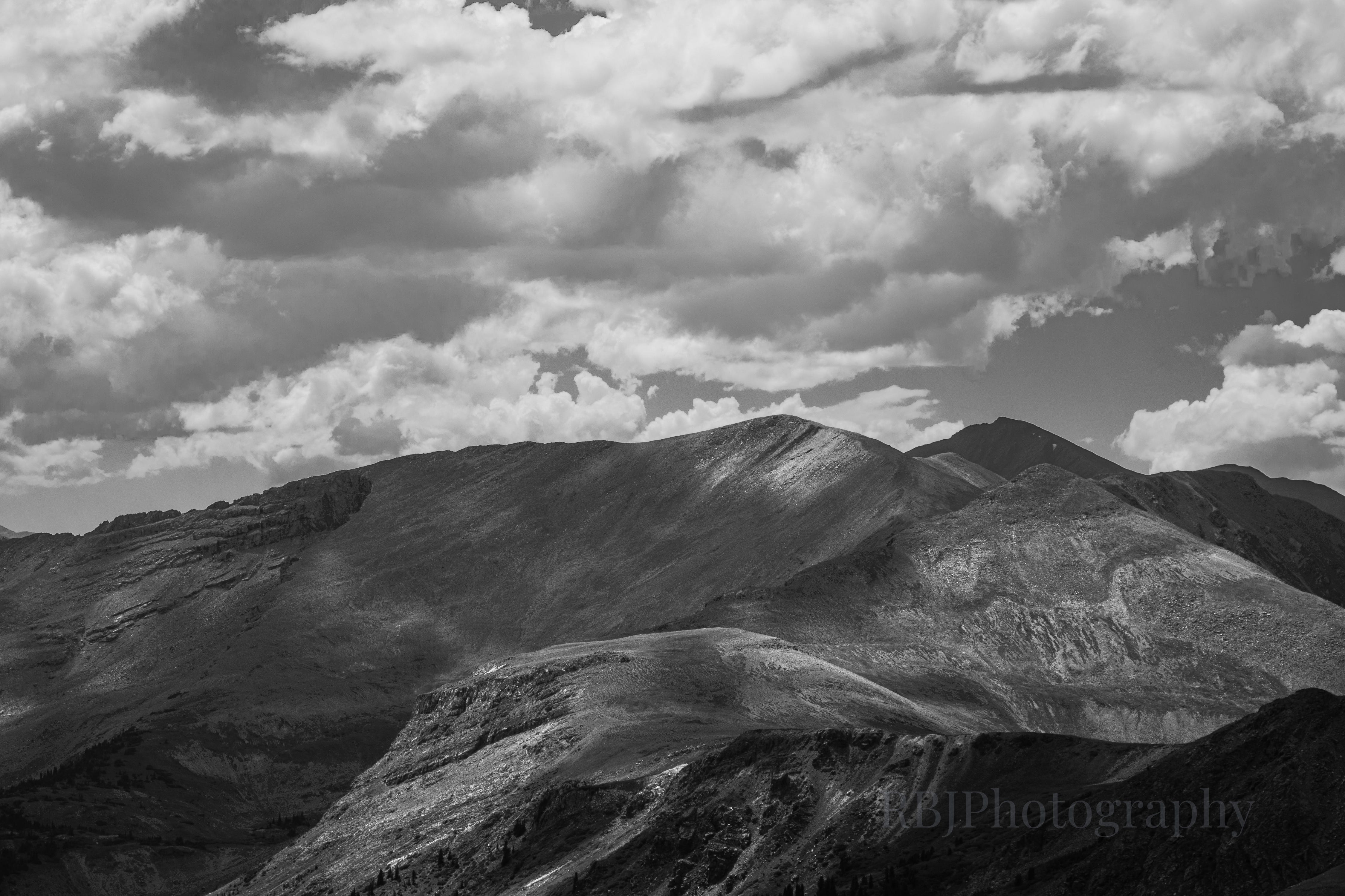
Mount Yale (14,199 ft) on the left and Turner Peak (13,186 ft) on the right.
Gladstone Ridge above Colorado Road 306 and Mount Princeton (14,203 ft) just peeking out on the left.
Despite the two mile hike above 12000 feet, which was surprisingly exhausting, I tacked on a little bit more. I’d never hiked down to the pond, and because there was ZERO wind (so not normal), the water was still. I love a good water reflection!
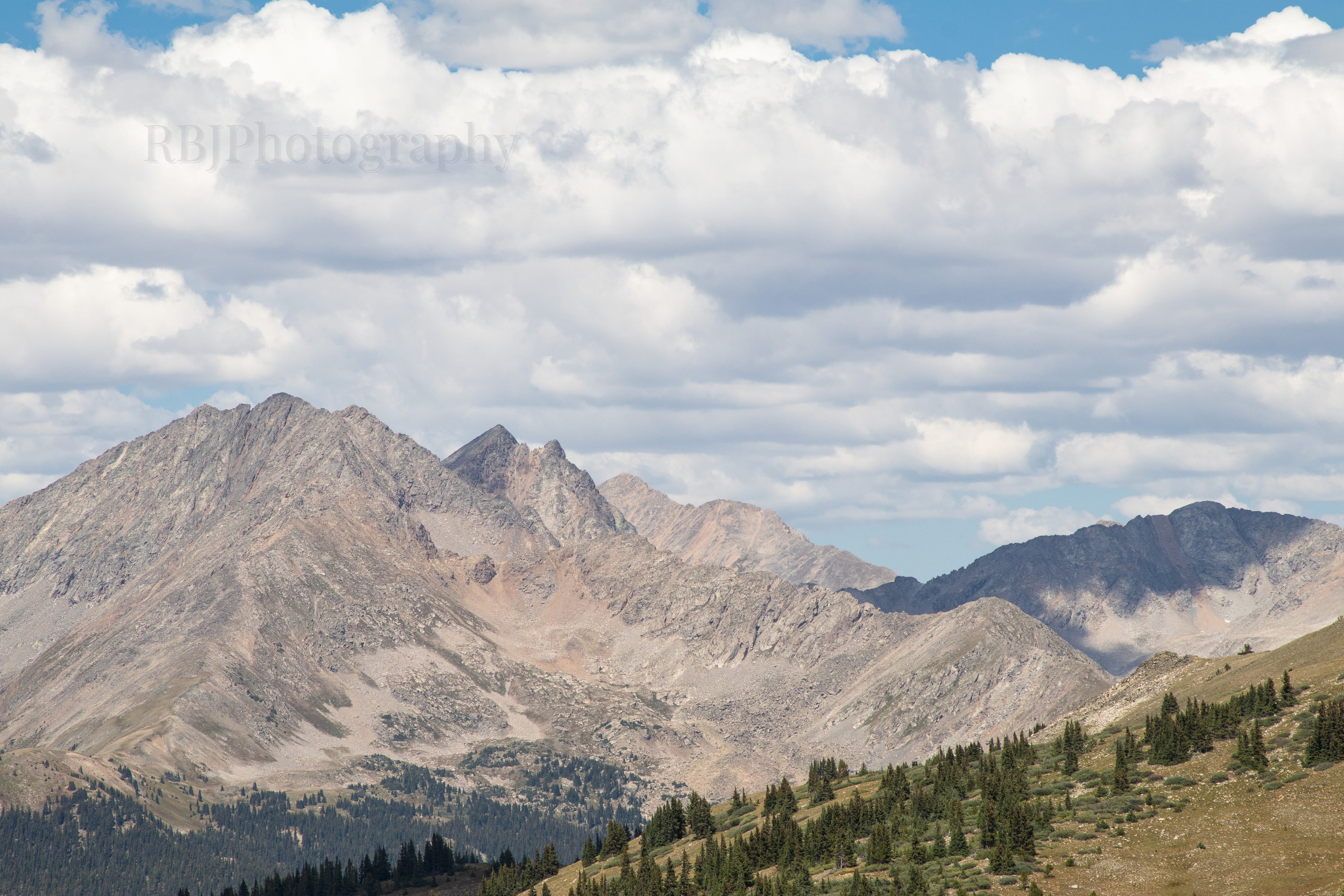
Ice Mountain and Huron Peak (14,009 ft), more of the Collegiate Peaks/Sawatch Range.
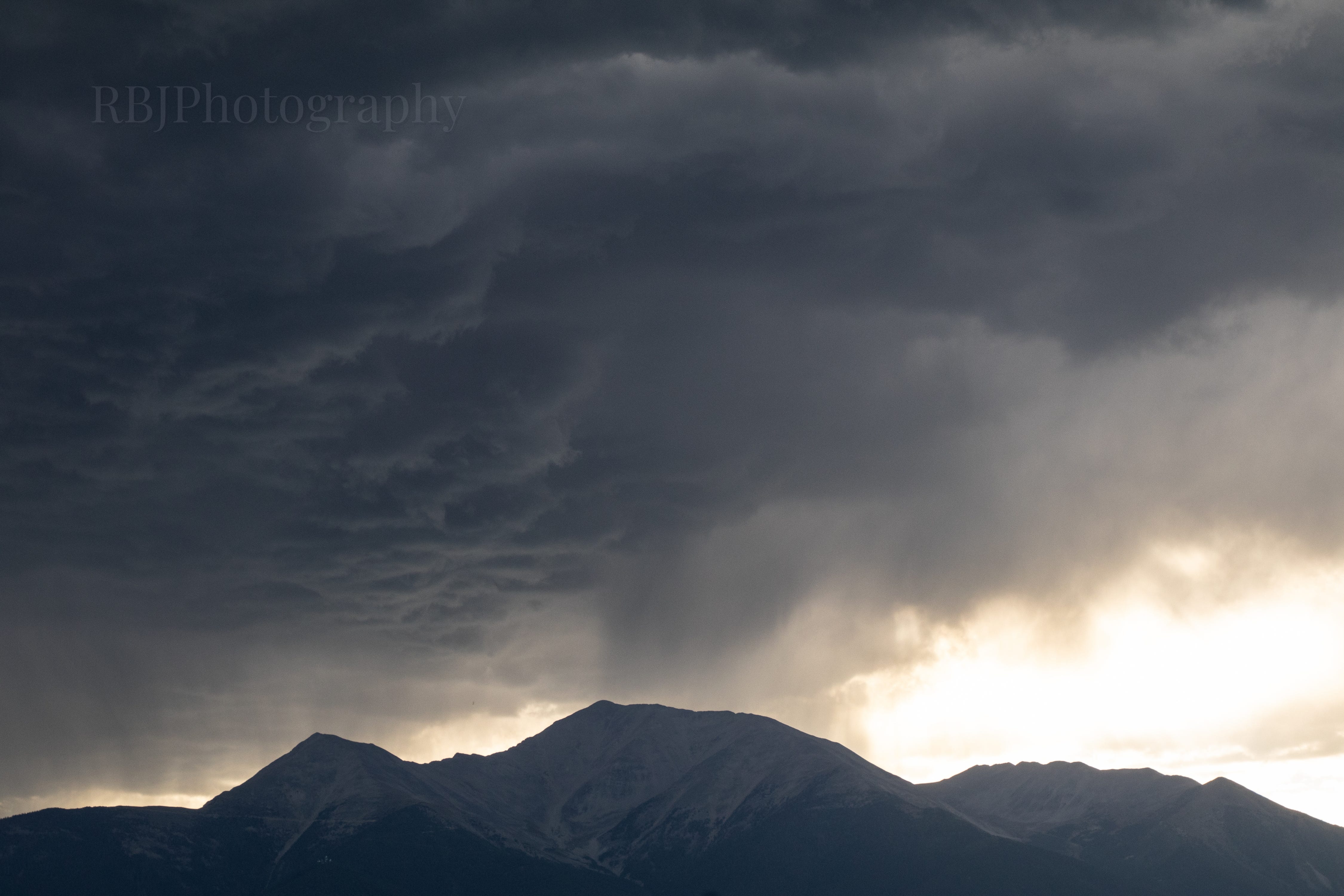
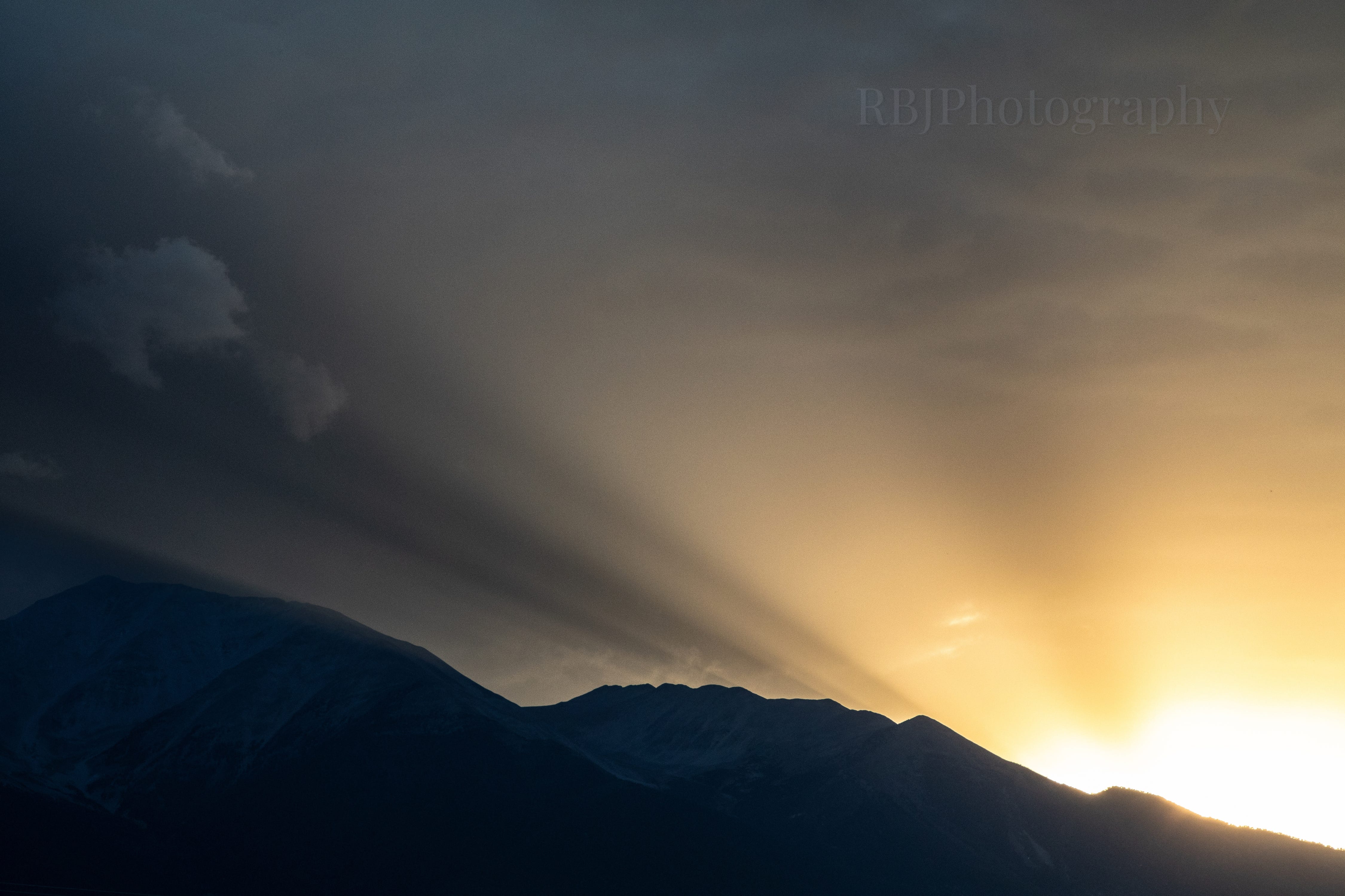
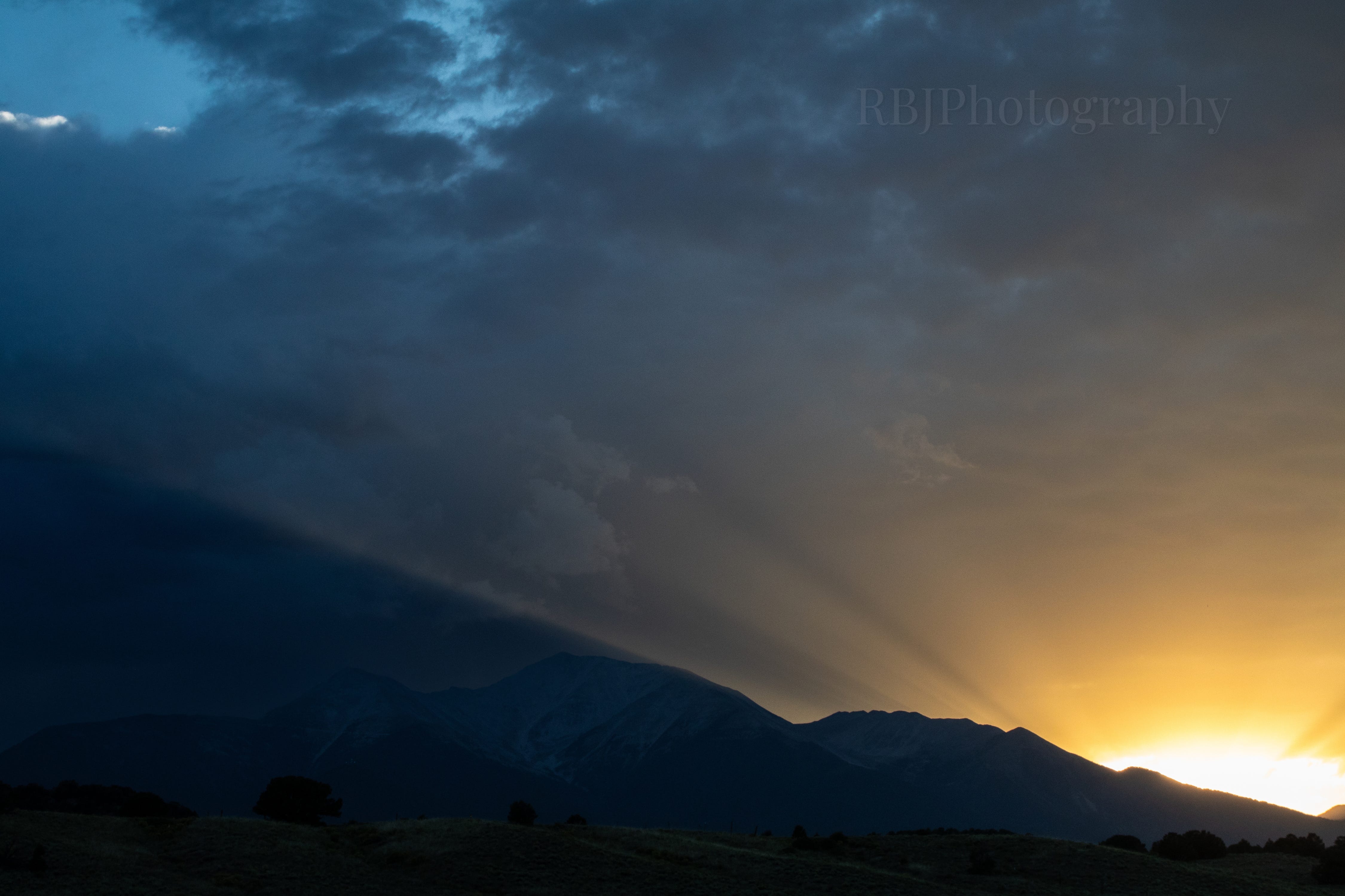
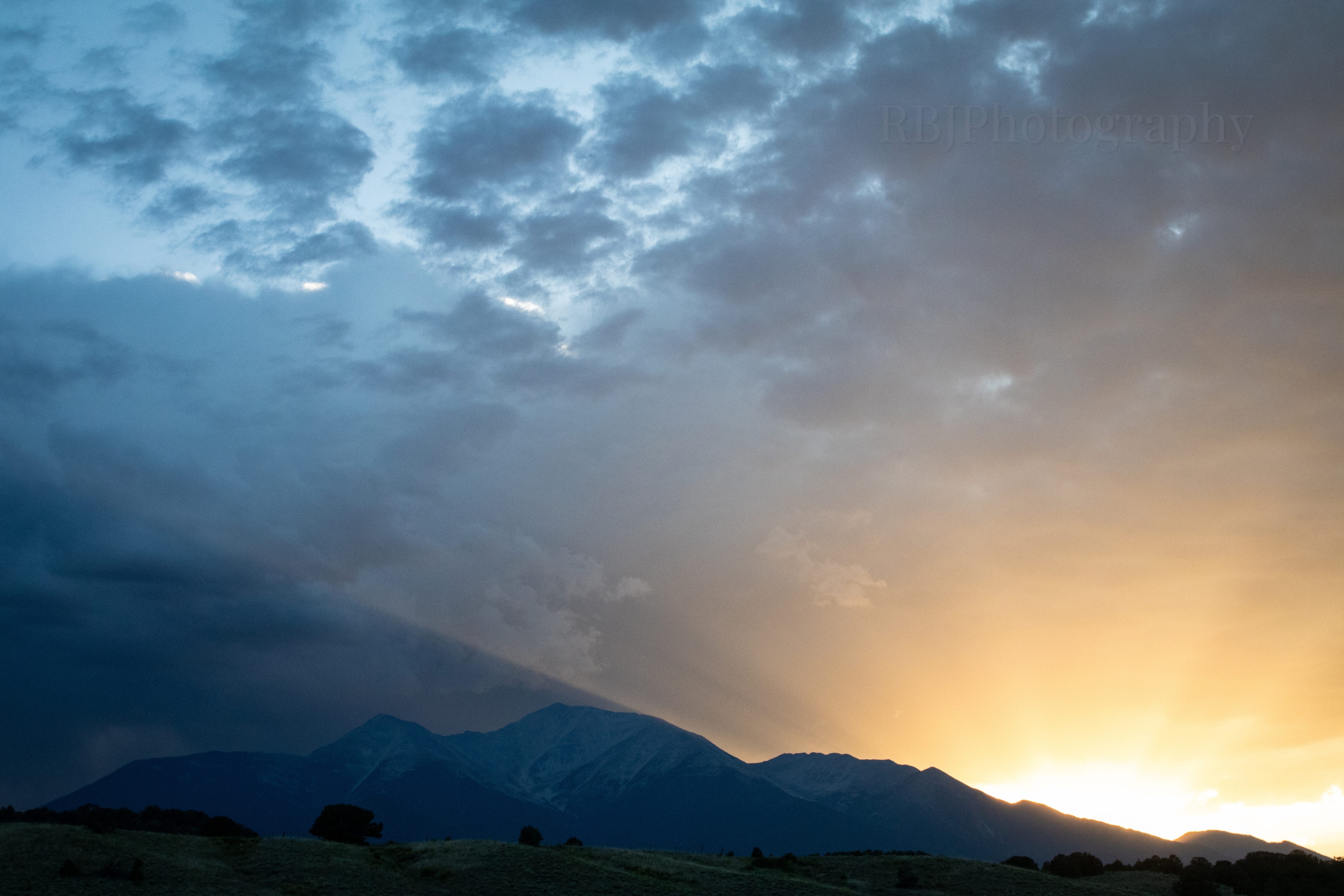
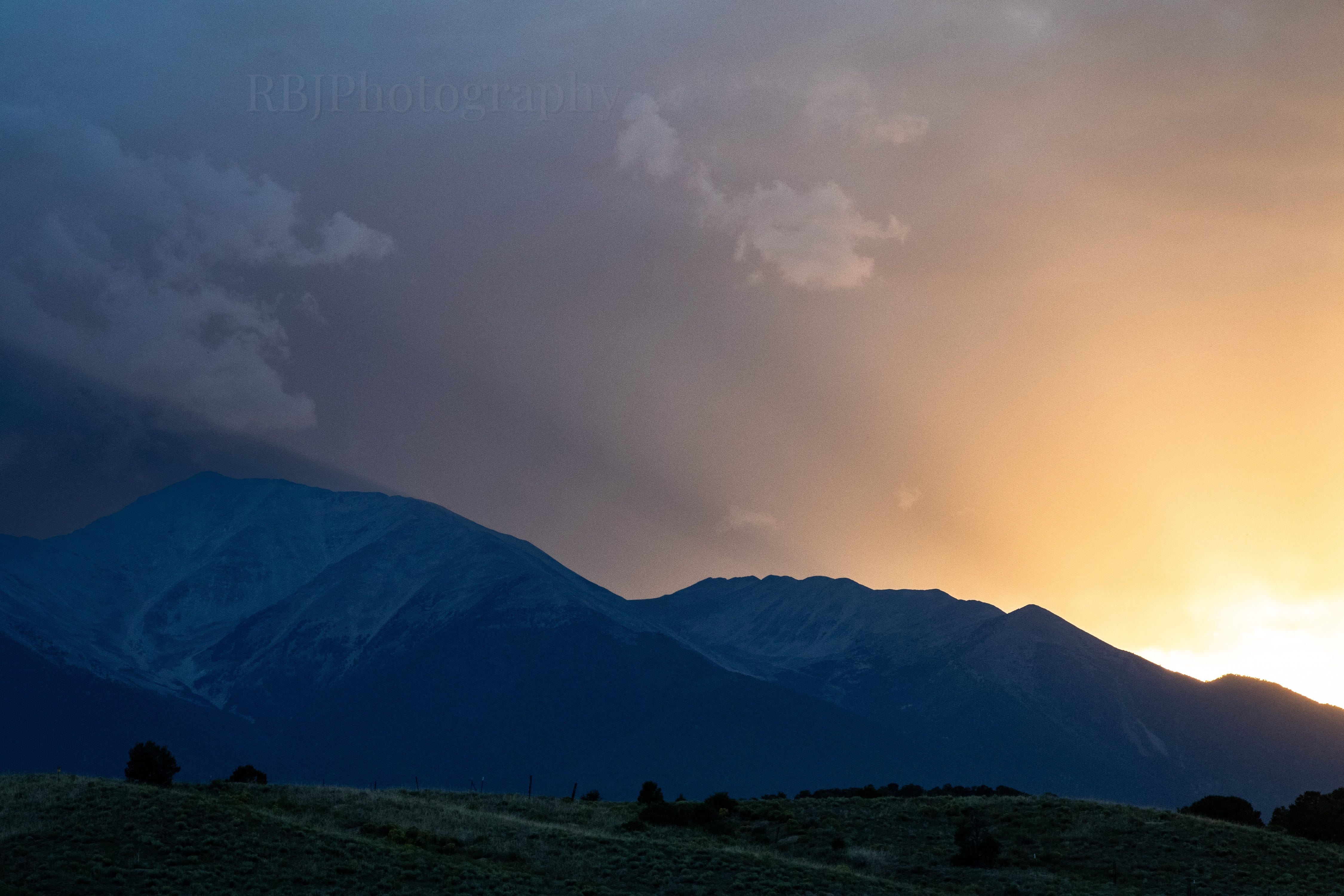
We were in Buena Vista for a “Wayfarer Weekend,” a gathering of people who bought conversion vans from Wayfarer in Colorado Springs. Our campsite had a great view of Mount Princeton, and while hanging out Saturday evening, a storm blew through right over the mountain.
I took this shot from the doorway of our van. Because I was high enough, I cheated the shot to hide all of the other vans right in front of me. If I had angled this down, you’d see 30 other camper vans at the campground.
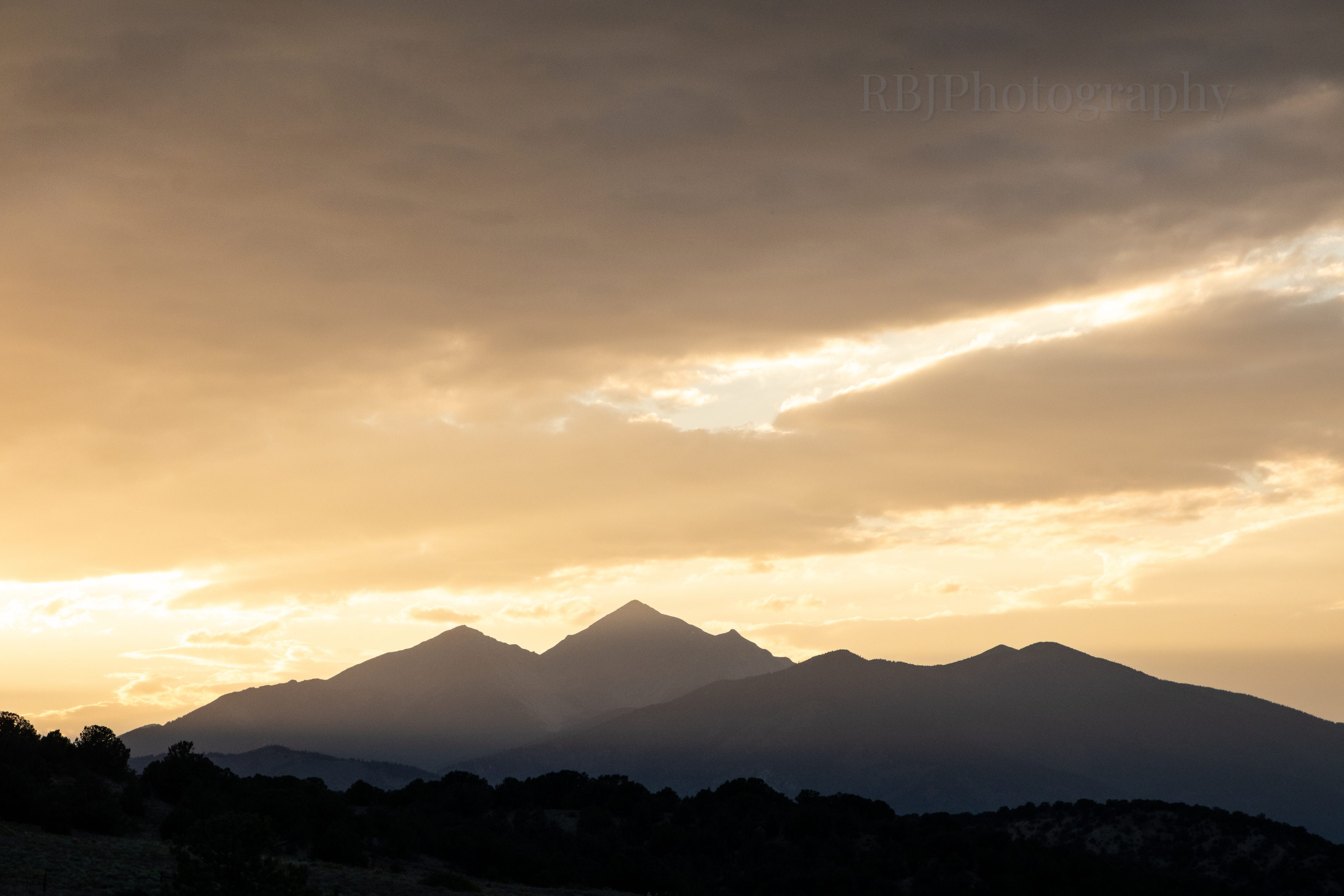
The clouds hung around and helped create a pretty dramatic sunset.
Mount Yale (14,199 ft) to the north. Mounts Yale, Harvard, Columbia, and Princeton are well-known 14ers in the Collegiate Peaks of the Sawatch Range.
At this point, my legs were sore, and I felt exhausted from the hike. However, the sunset certainly filled my heart because it was an unexpected surprise. I love a good, colorful Colorado day.
Cheers.
Thanks for reading Chasing Ansel Adams! Subscribe for free to receive new posts and support my work.


I have always wanted to hike the divide, from New Mexico, to Canada. I doubt that will happen now, but It would have been cool.
Beautiful. I've driven over nearly all the Colorado pases, Independence Pass is spectacular.