


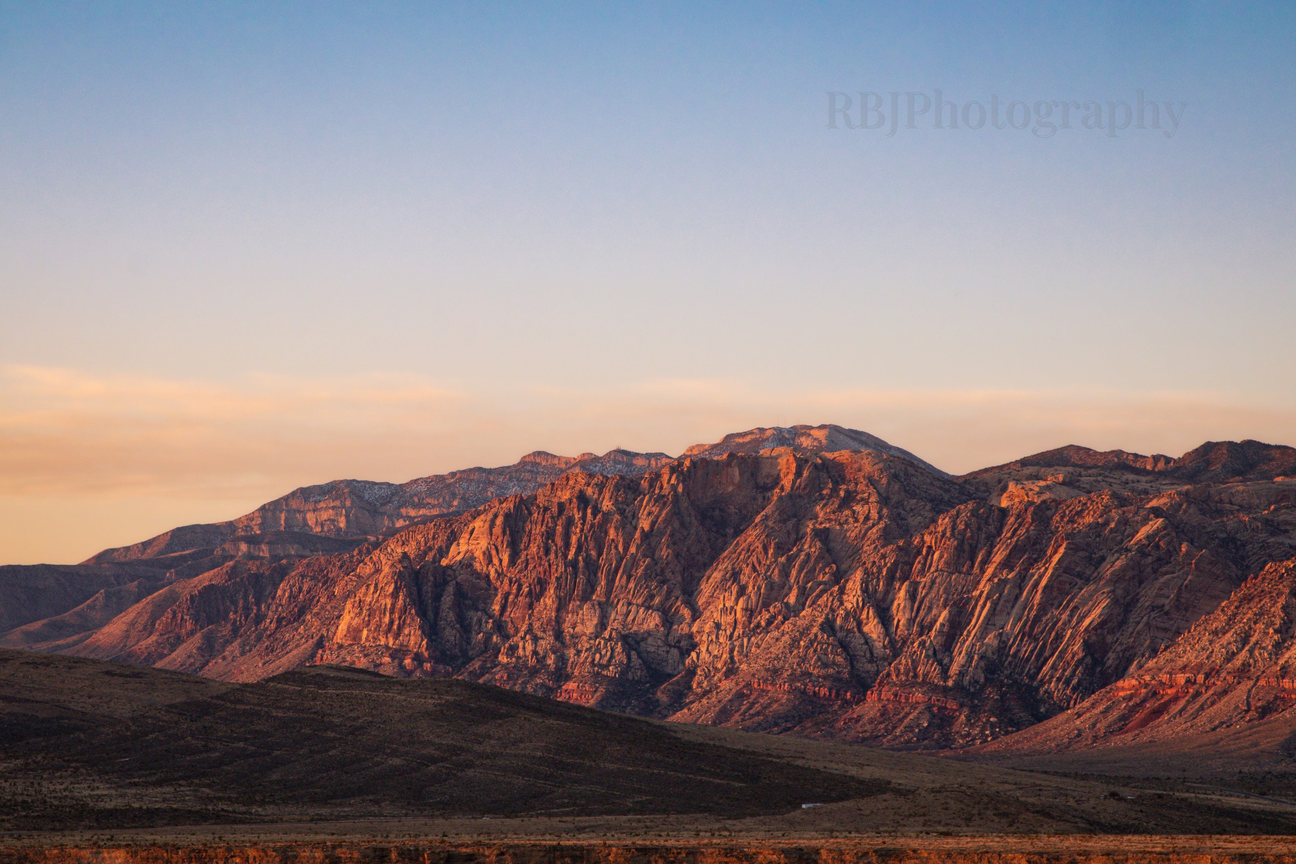
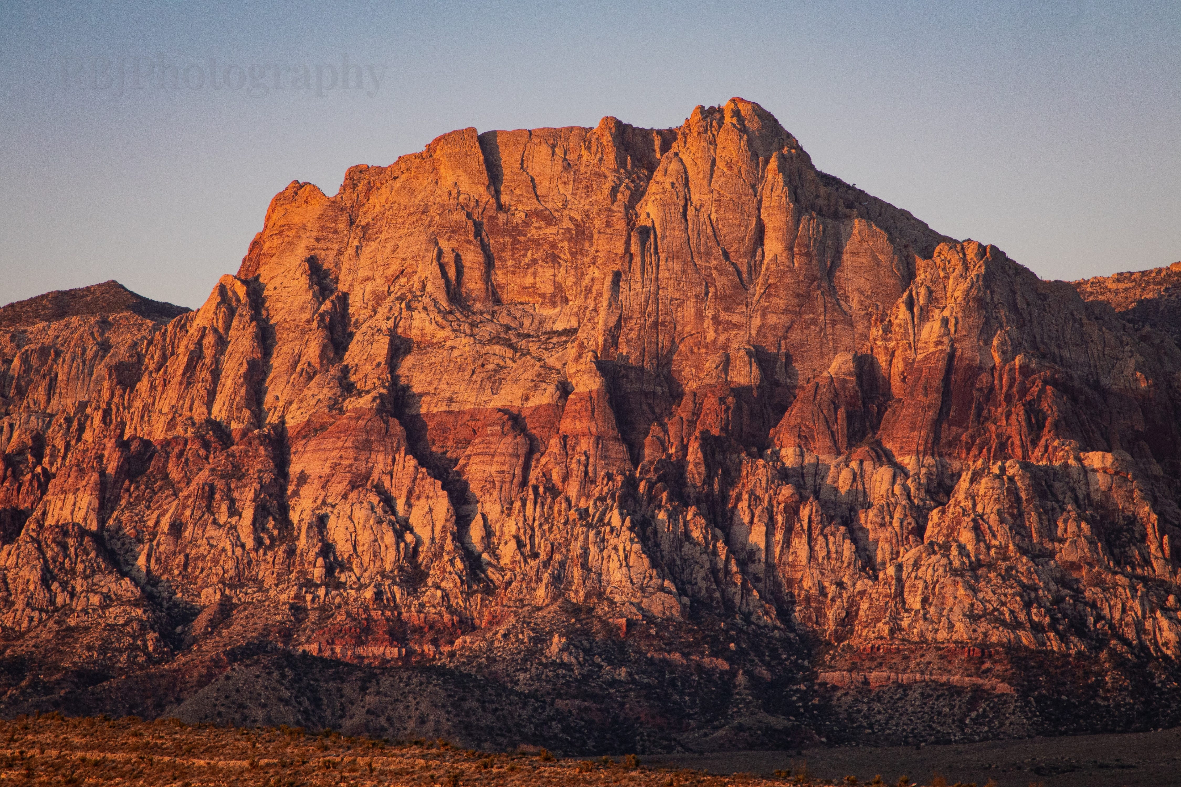
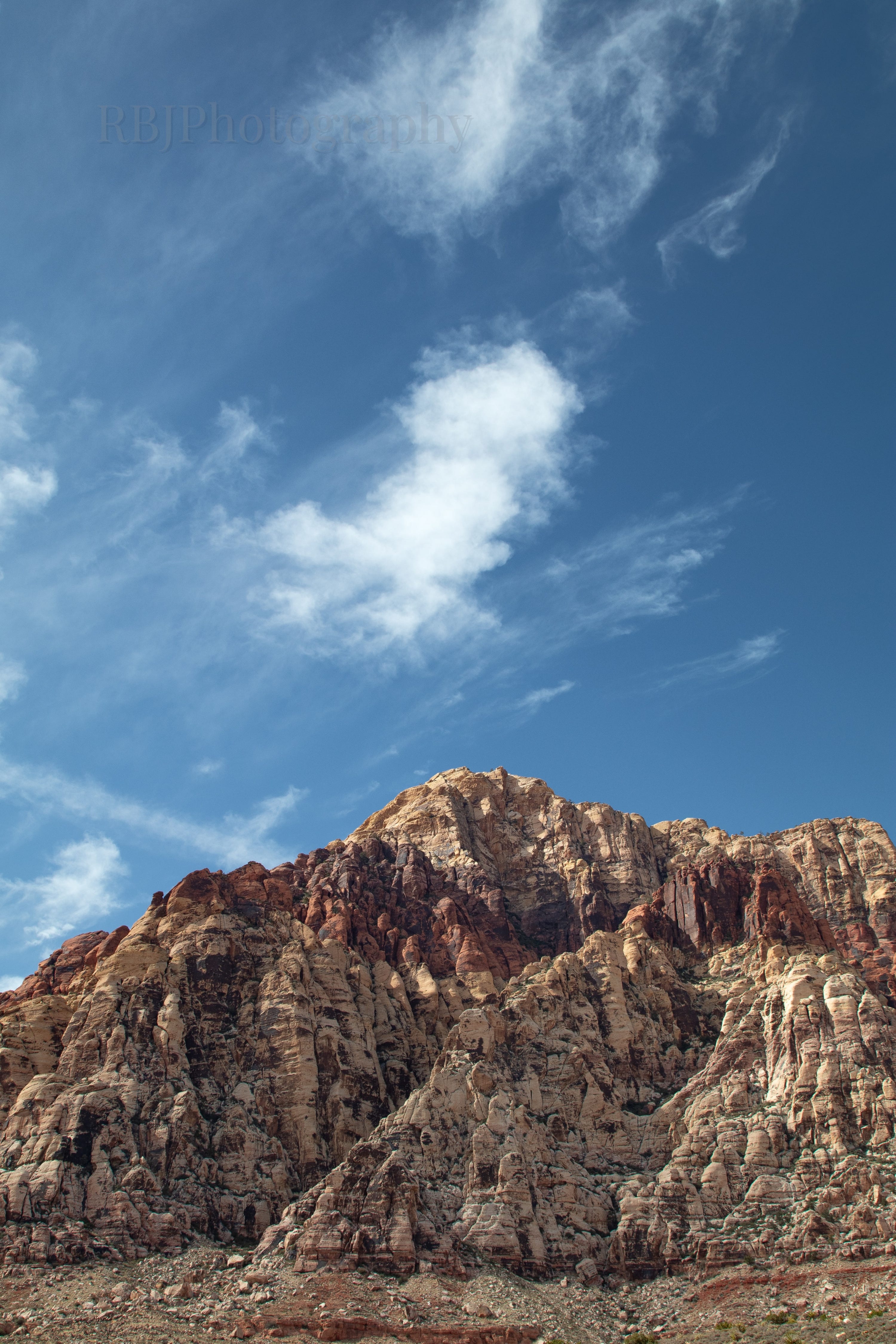
Red Rock Canyon, Nevada
Hiking nine miles through Aztec Sandstone in February 2025.

This post is “too long for email”, so Substack might cut it short in your inbox. If that happens, click ‘View in browser’ at the top right of the email to read the full content.
When I initially found out about the conference in Las Vegas and realized that I could stay a couple of extra days, I knew I wanted to spend a whole day hiking at Red Rock Canyon National Conservation Area. I’d never been, which is kind of surprising. Right after college, we lived for three years in Kingman, Arizona, and the park was only two hours away. At the time, I was in a photography lull and did not enjoy hiking.
I guess at this point in my life, I’ve gotten used to the van because I was ready for an adventure off the strip. I rented a rideshare on Turo, and because my dumb ass wanted to be in the park for sunrise, I met a random stranger at 5:30 am in the Excalibur parking lot to pick up the car. I will also note that I got some curious looks as I walked through the casino in my hiking clothes from the 5 am gamblers.
Worth it though…
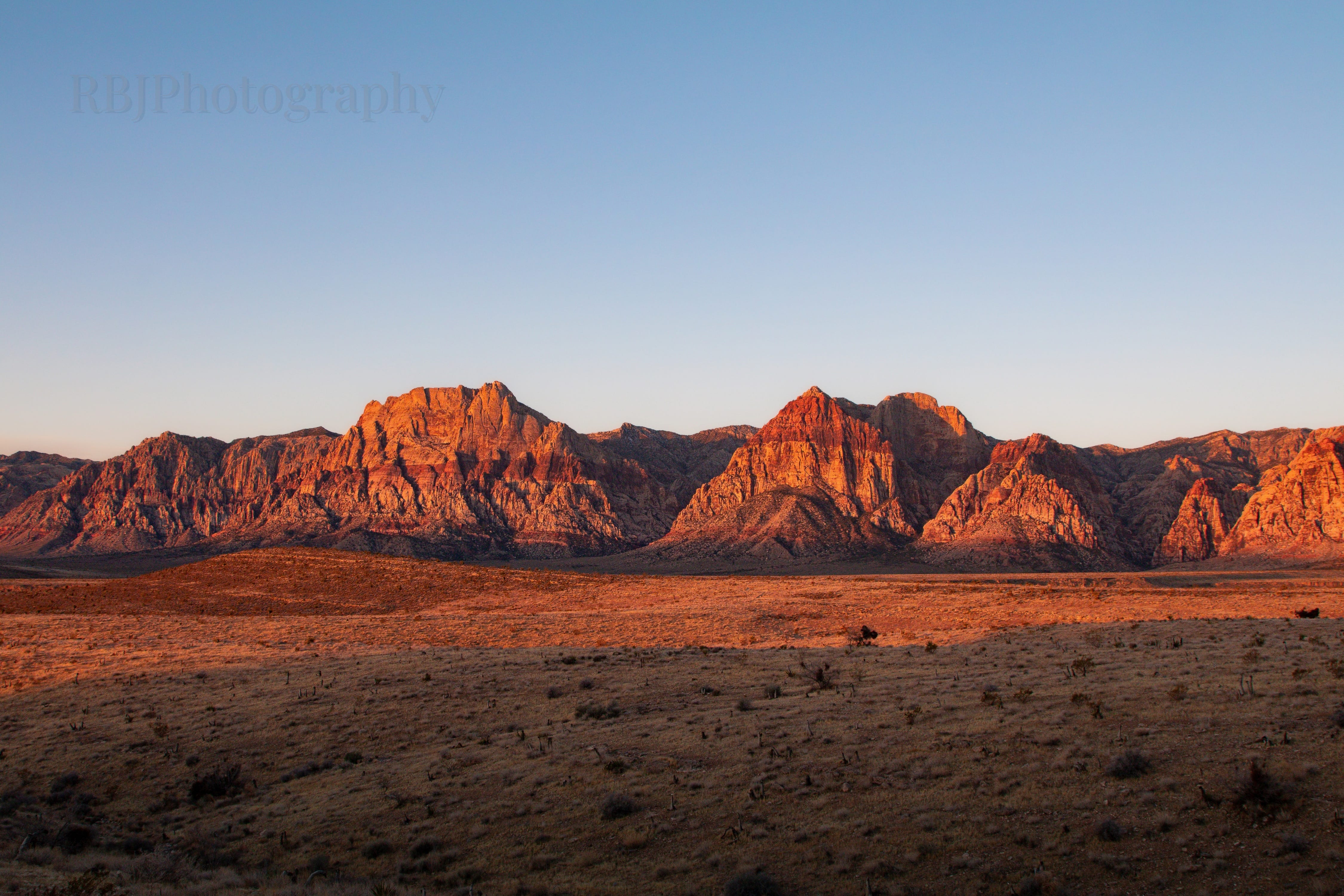
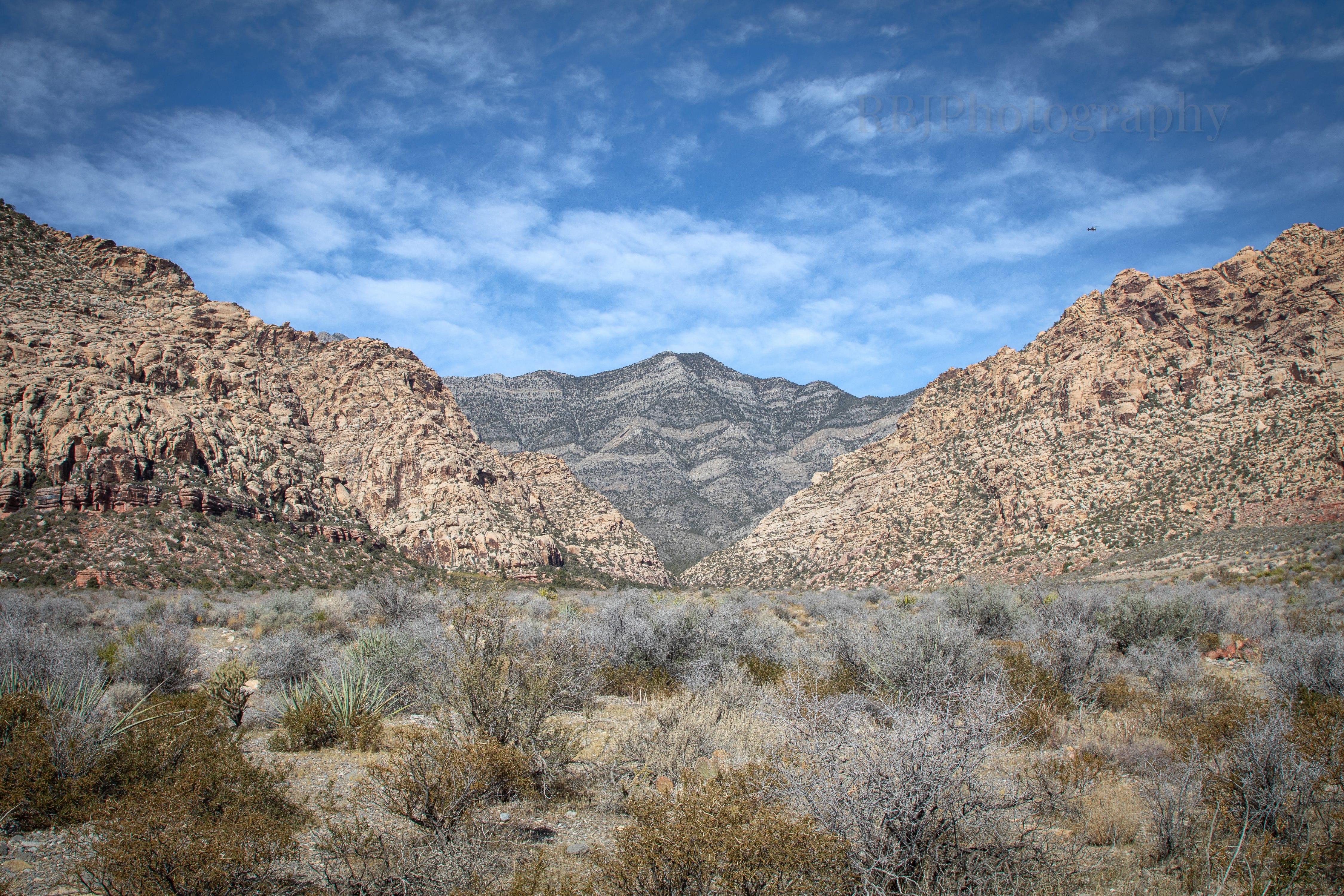
I was in the park from 6 am - 2 pm and ended up hiking nine miles by myself. Bear with me - this is probably the longest post I’ve written to date.
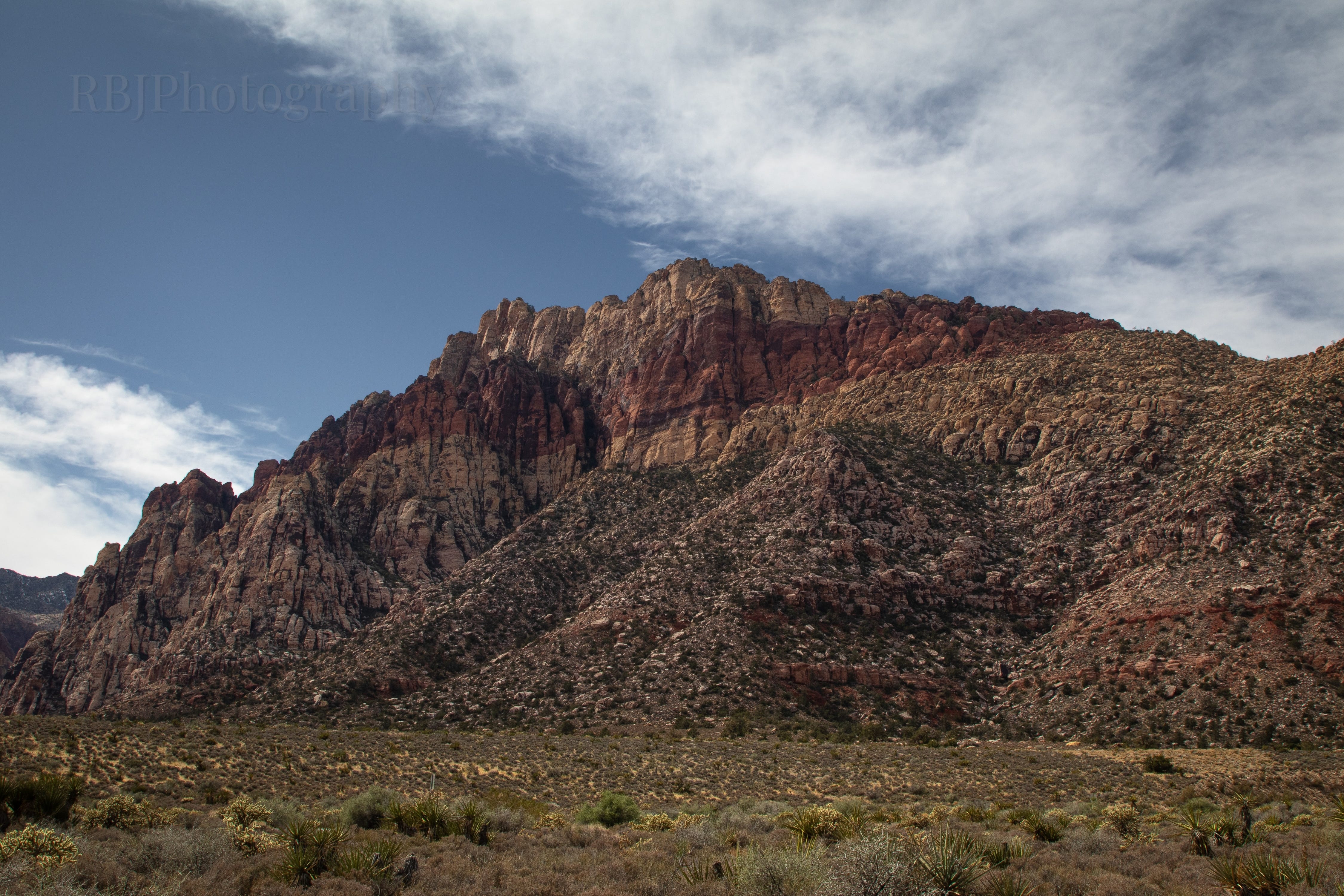
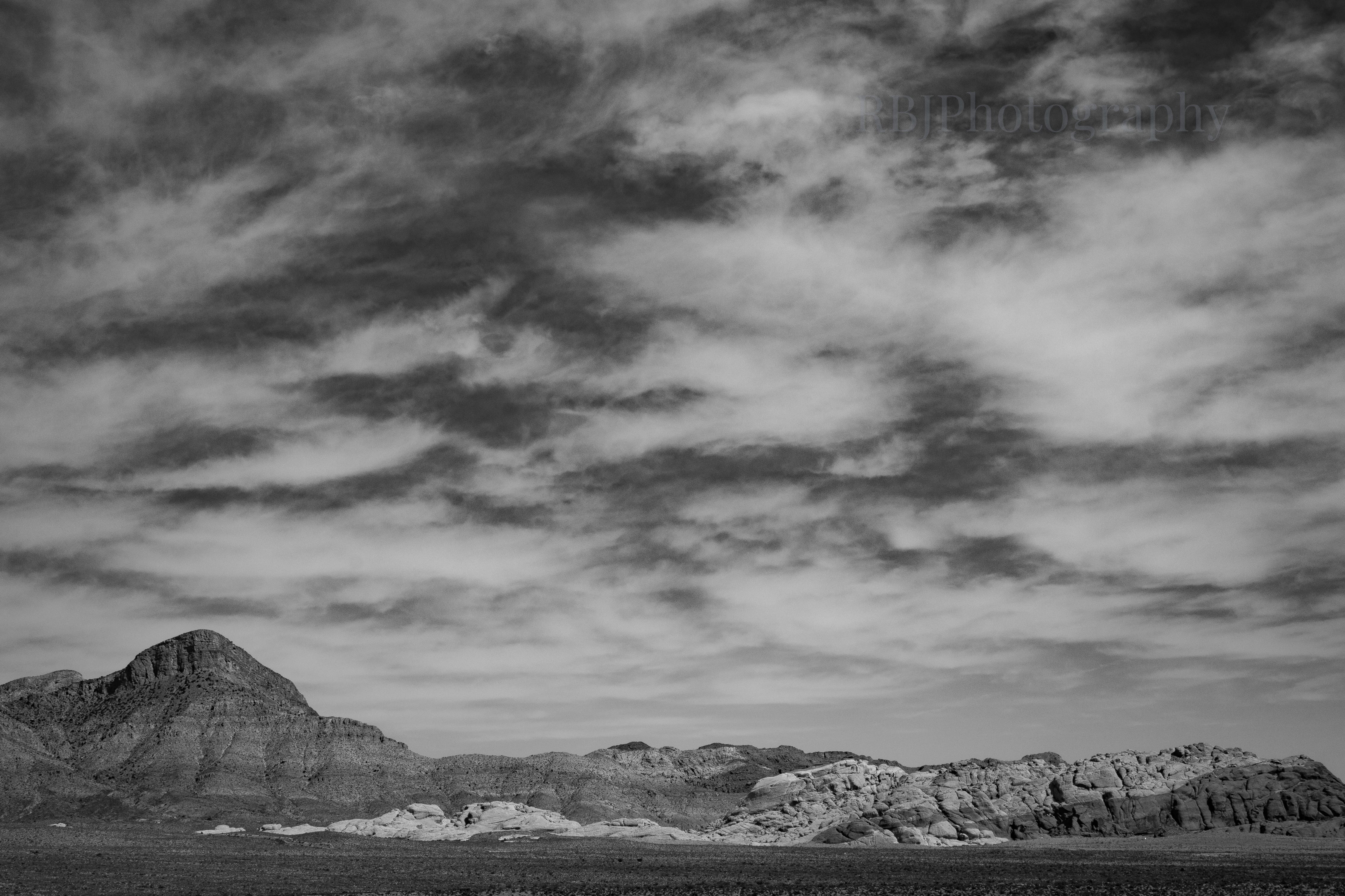
My least favorite hike was the White Rock Mountain Loop. I did not plan on hiking all six miles, but thought I would shoot for 3-4. However, after about ¾ of a mile in, I said “fuck this.” Did I mention that I went to a hockey game the night before? I only slept for five hours, so as I gained 200 feet of elevation in less than a mile, and the trail was a rocky, uneven wash in the full blast Nevada sun, I decided to bail. I made it to a high point to capture some views, then promptly turned around and headed back to the car. Trail distance: 1.44 miles.
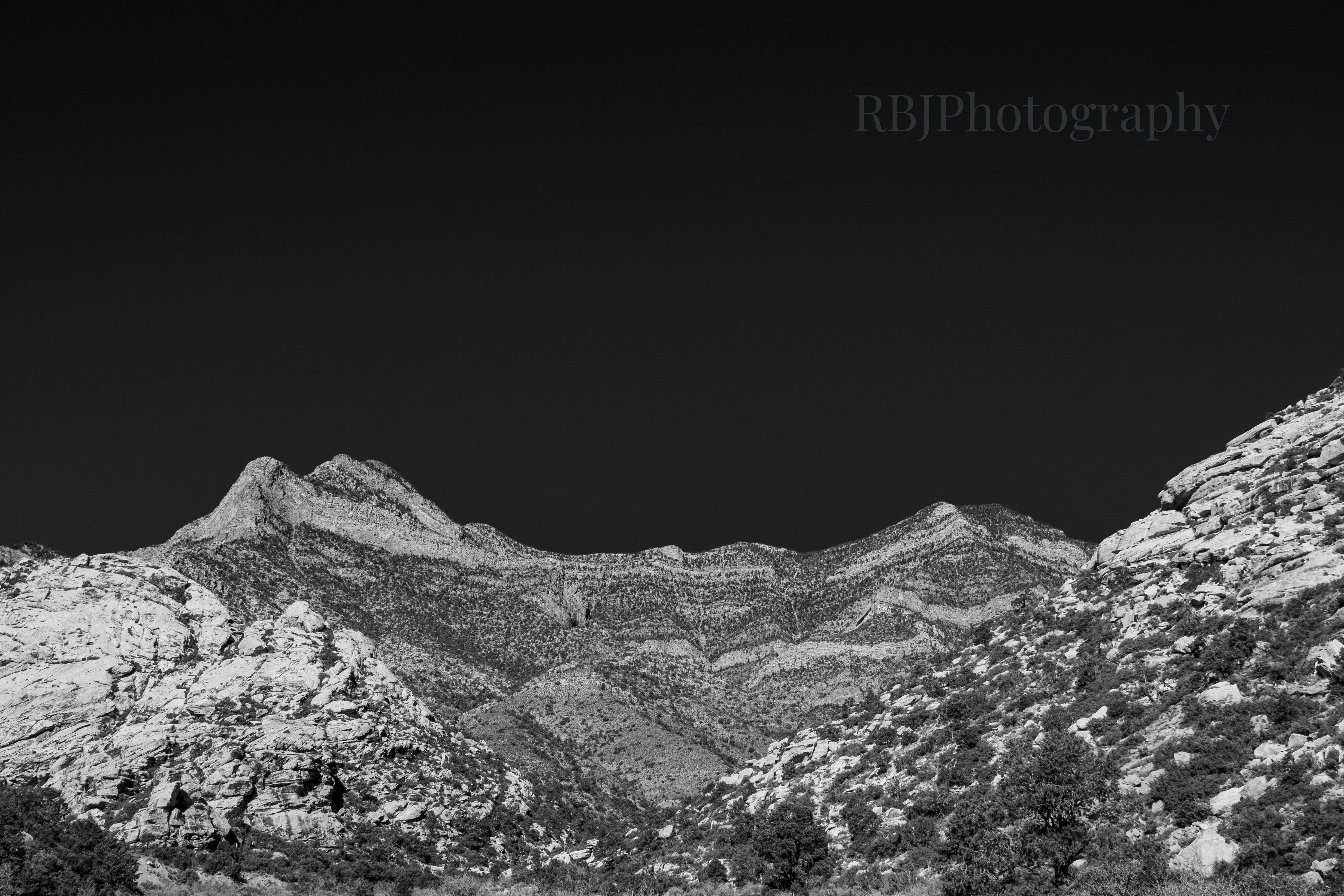
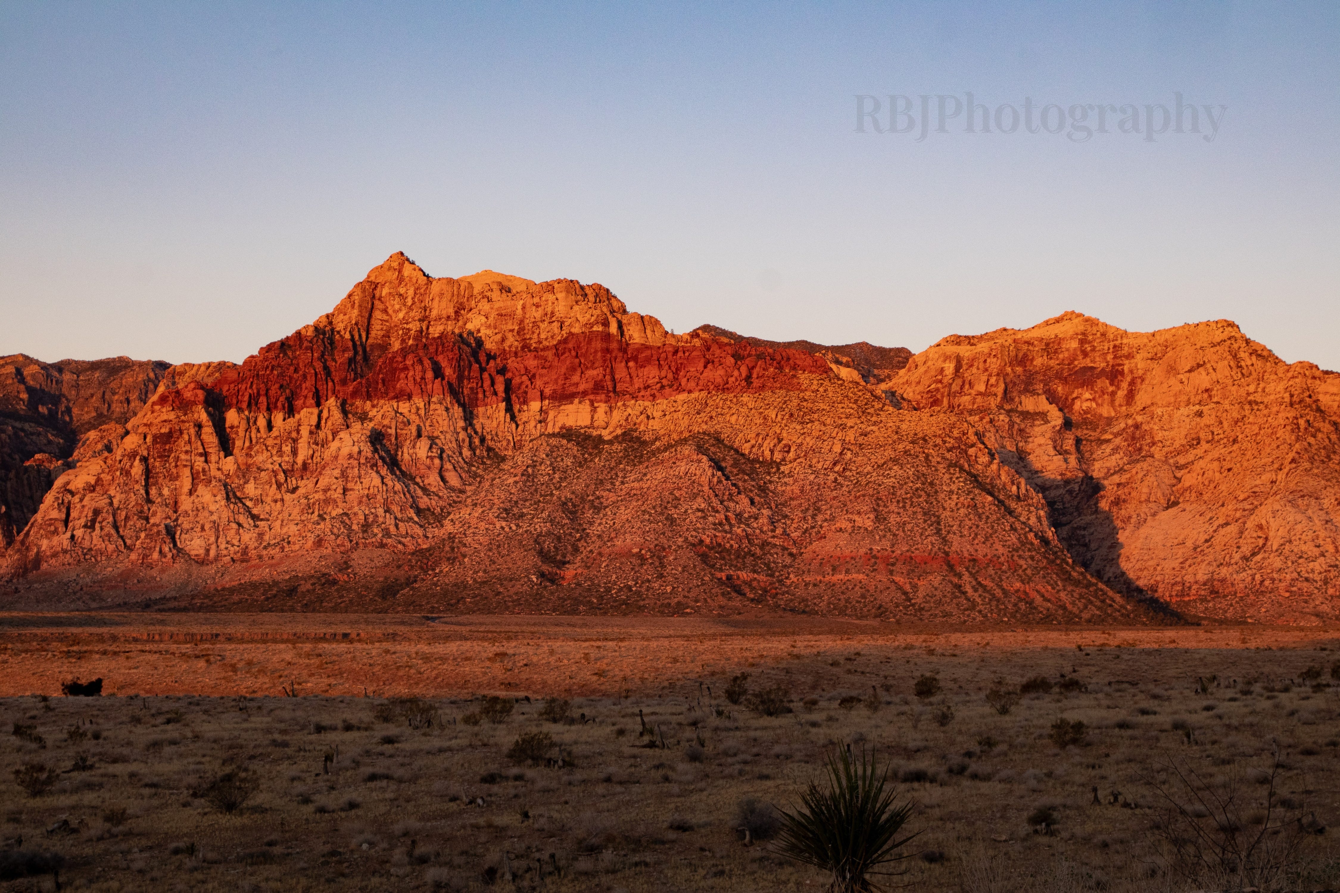
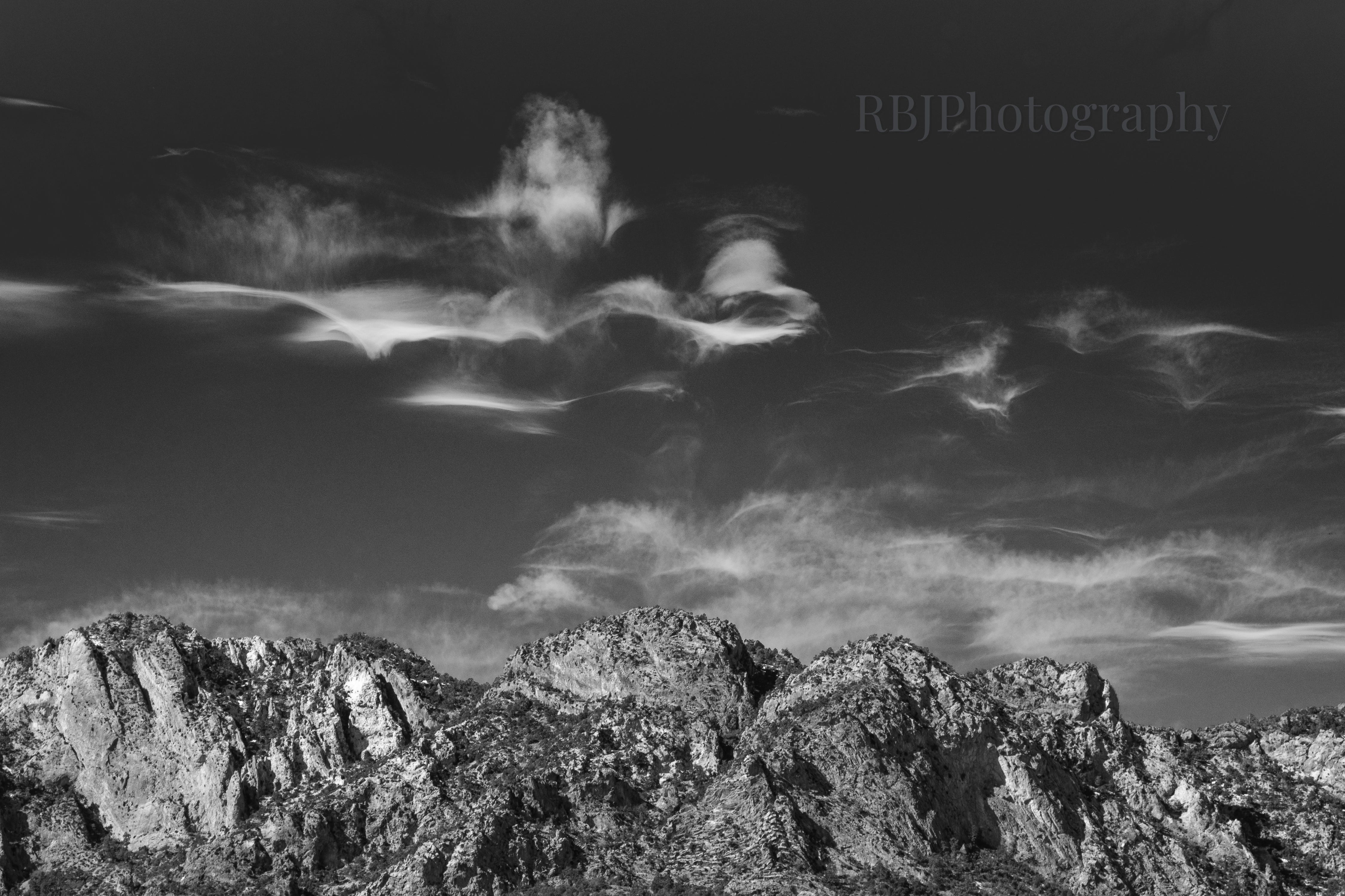
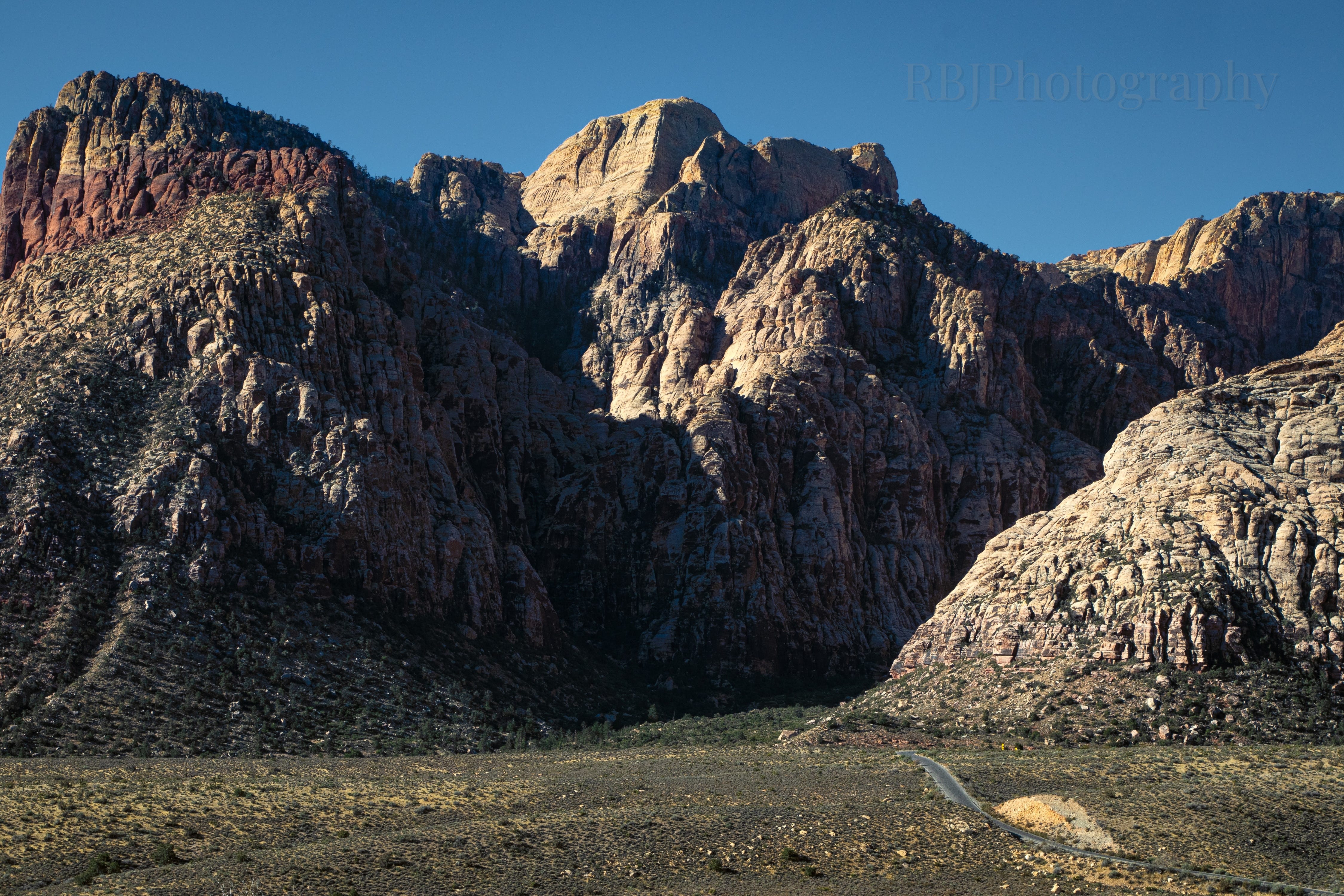
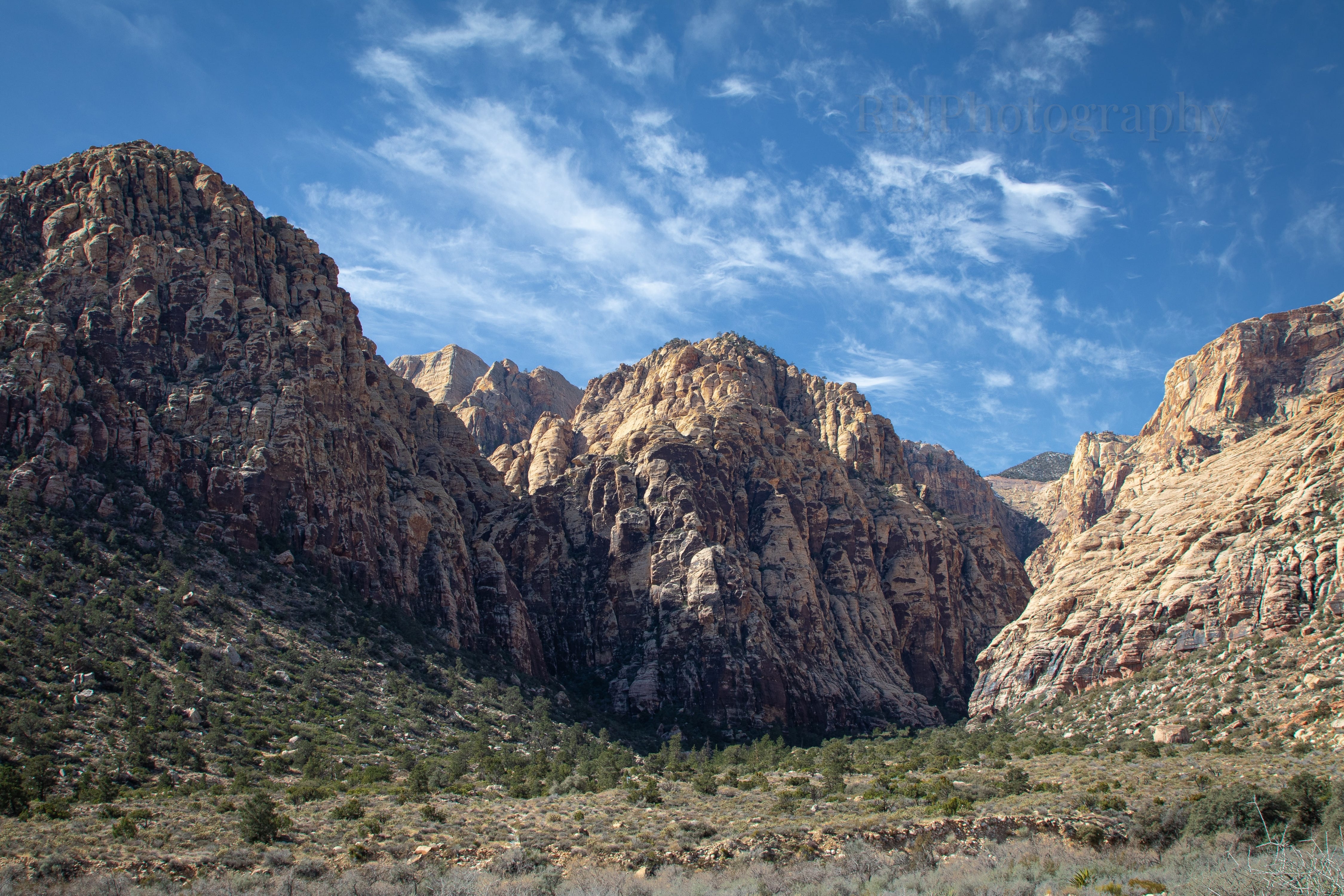
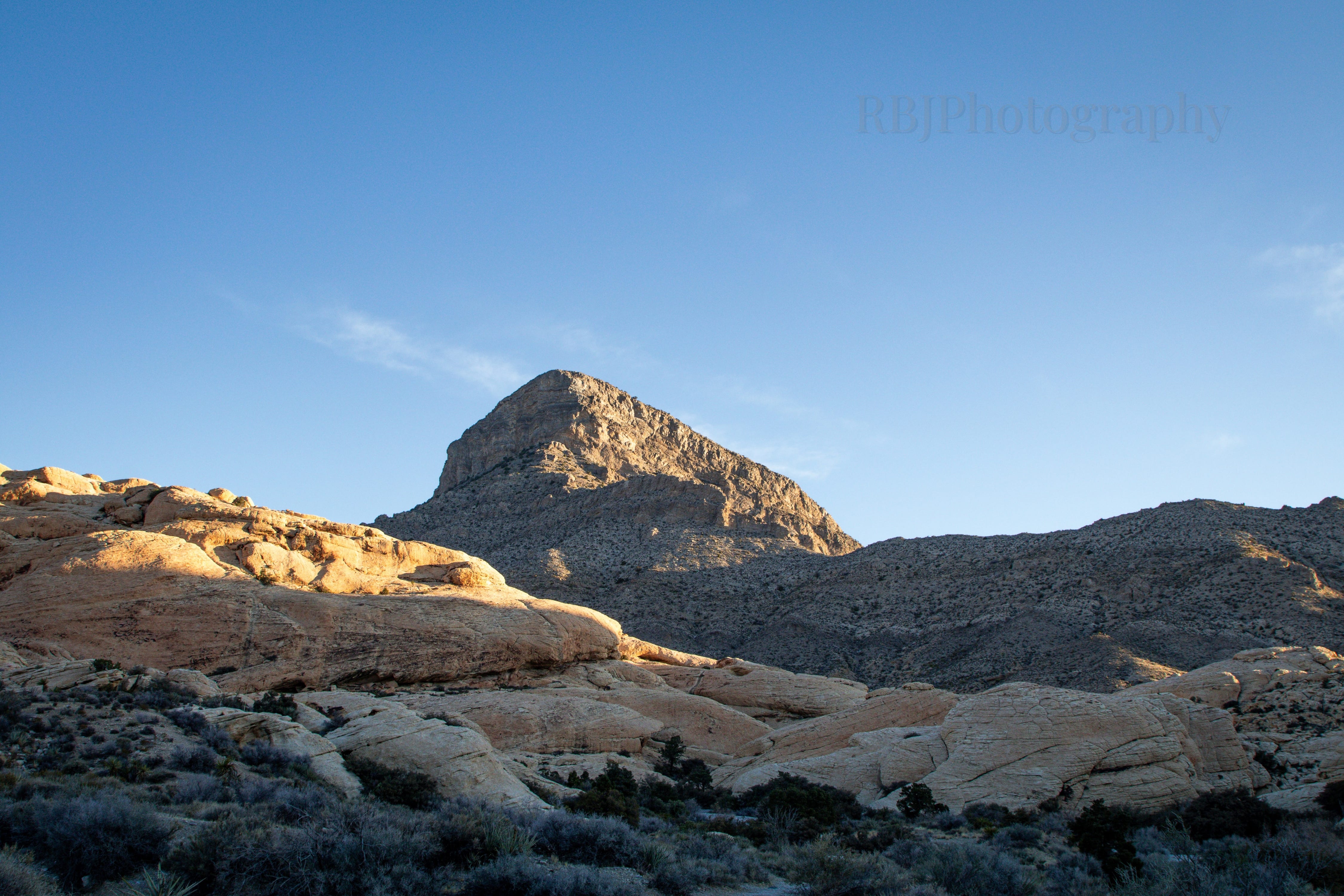
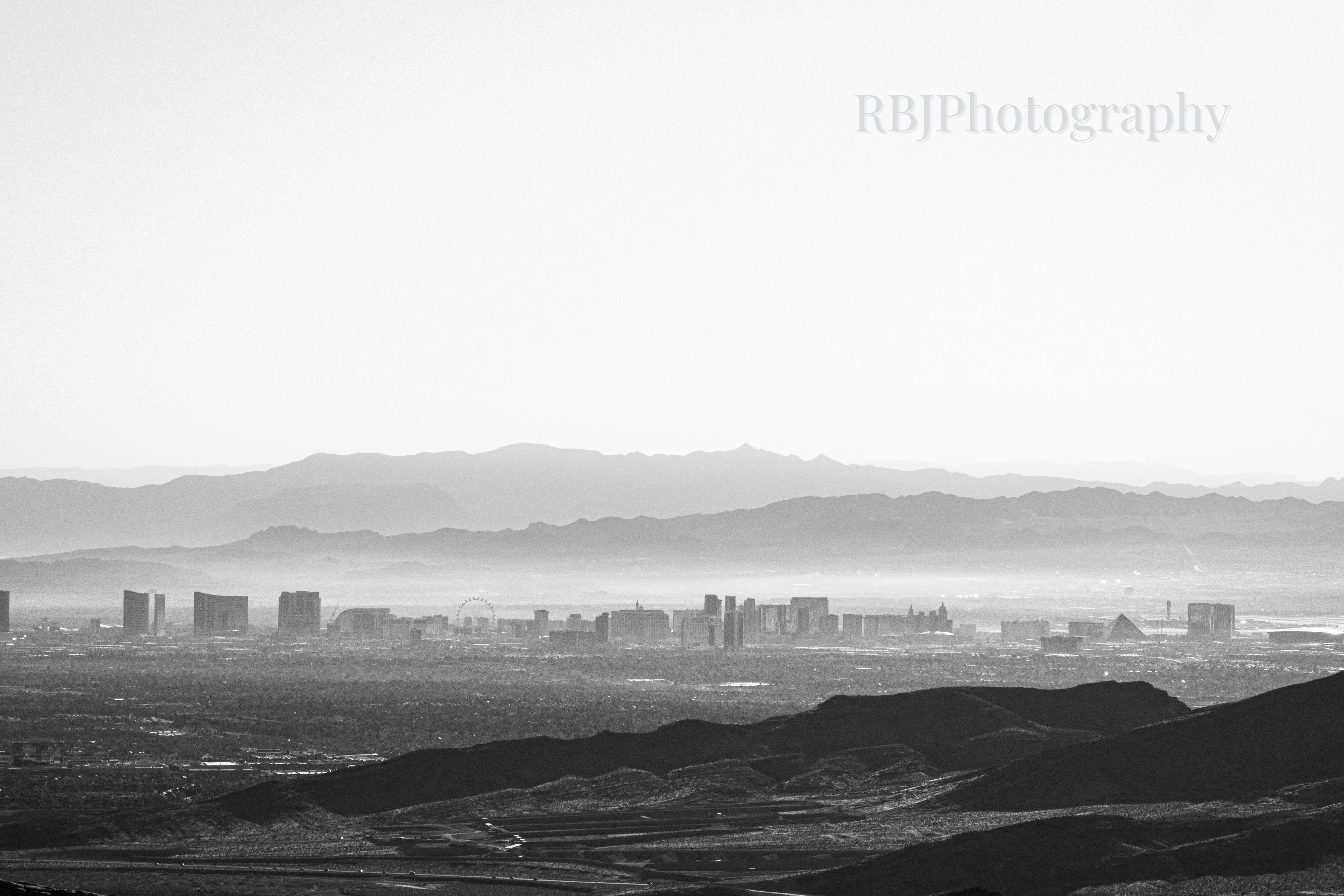
These two shots are basically the same. I couldn’t decide which I liked more.
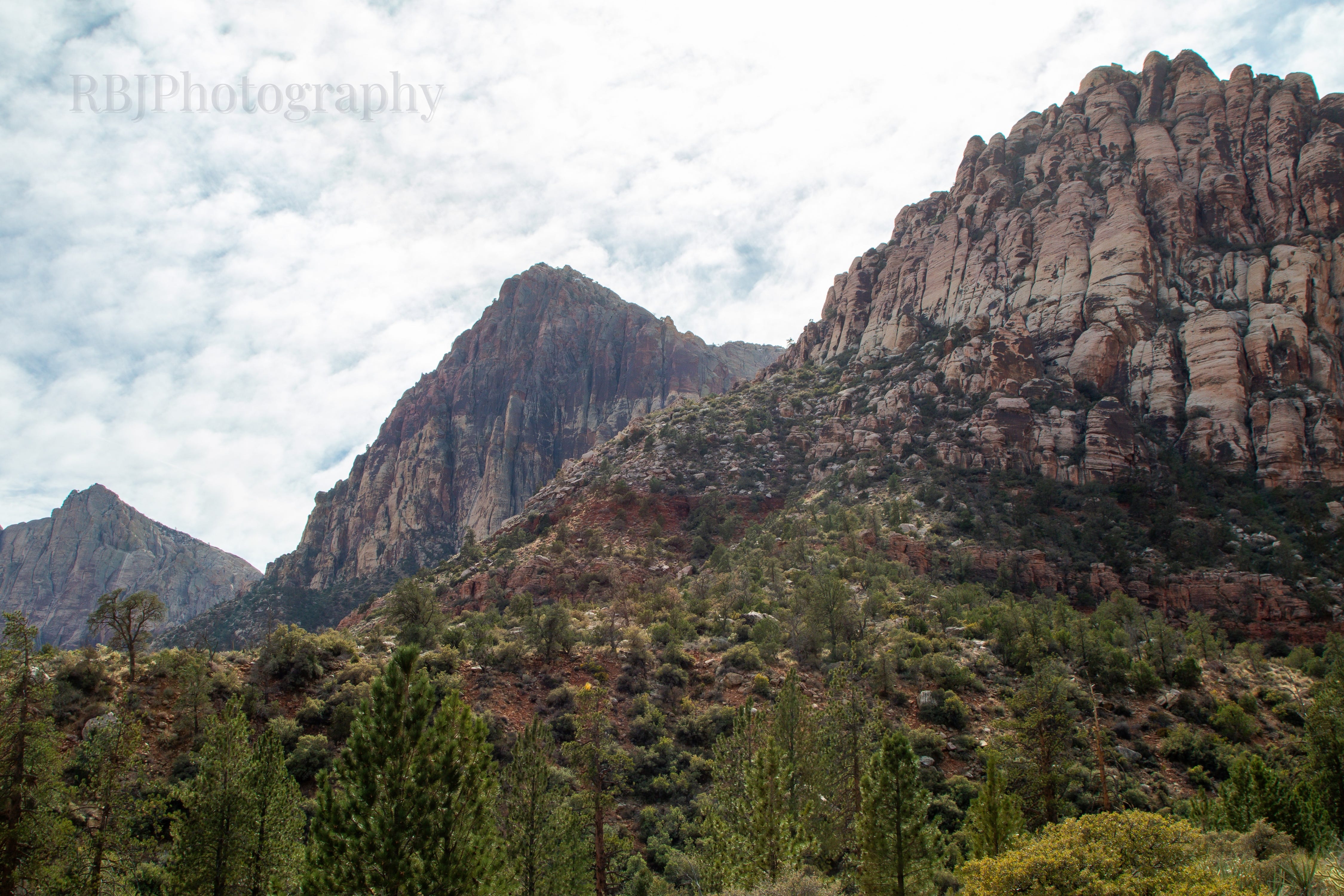
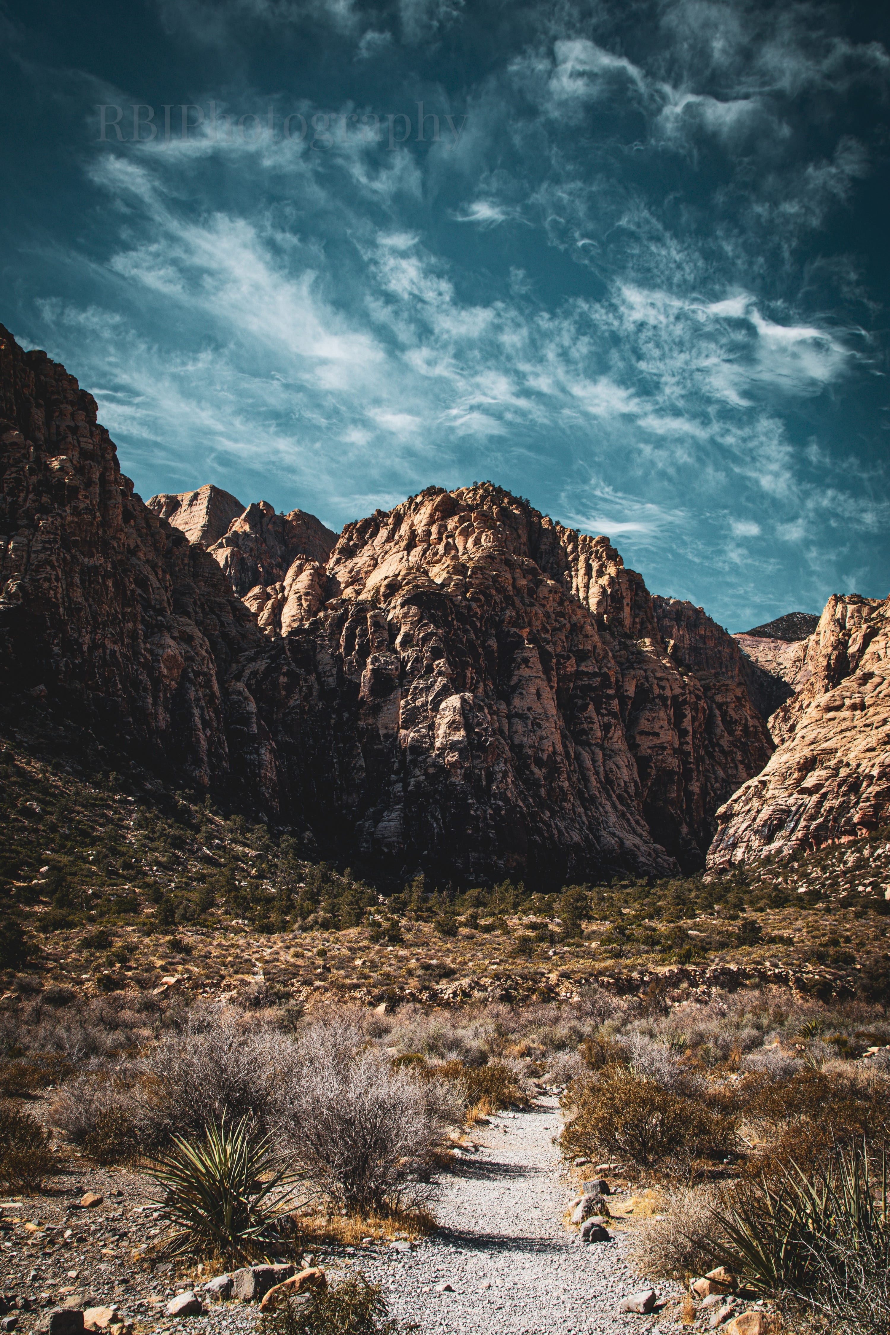
In “third place,” we have the Pine Creek Canyon Trail. This was the last trail that I hiked in the park that day. I saved this one for last because it was considered the easiest of the four trails that I hiked.
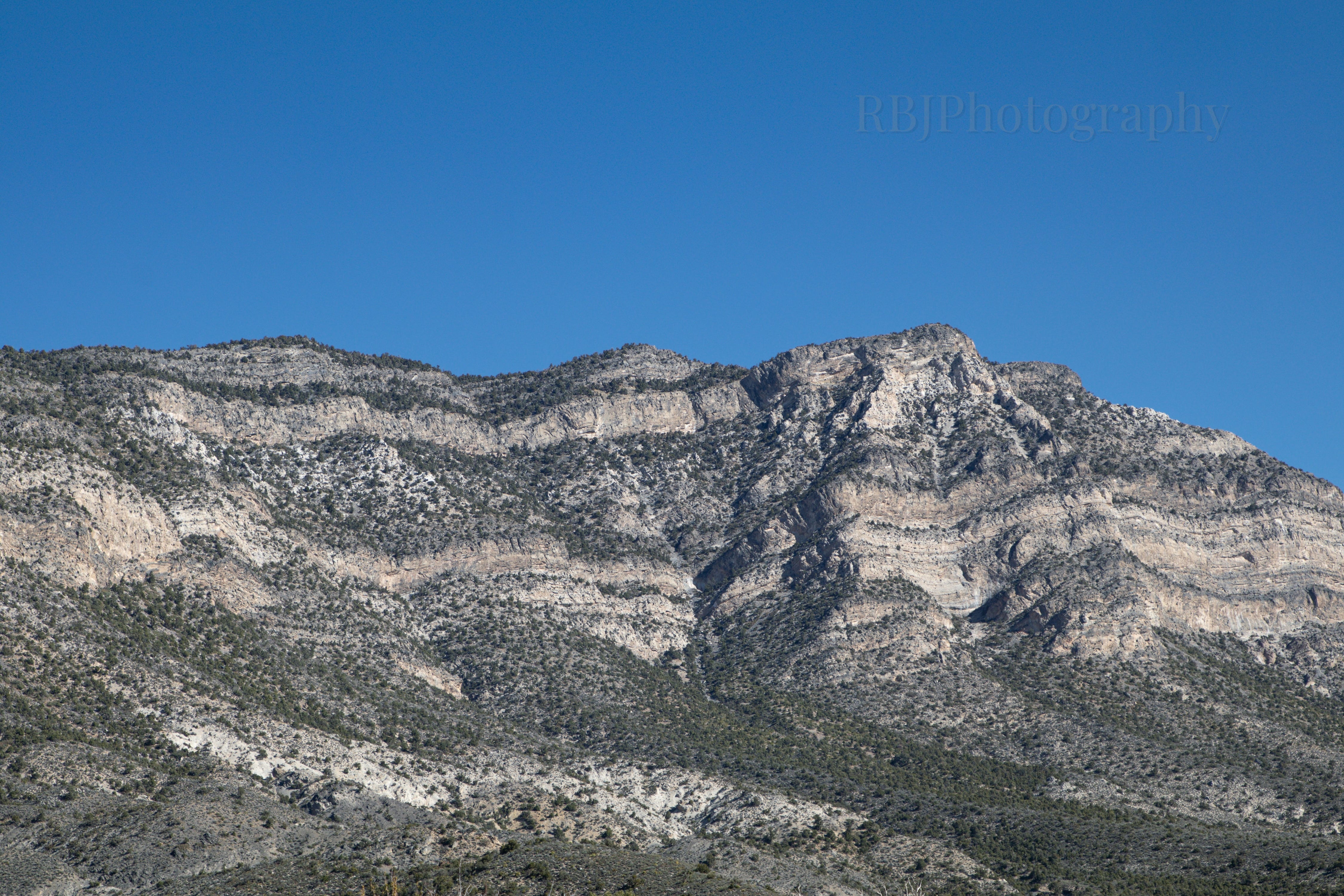
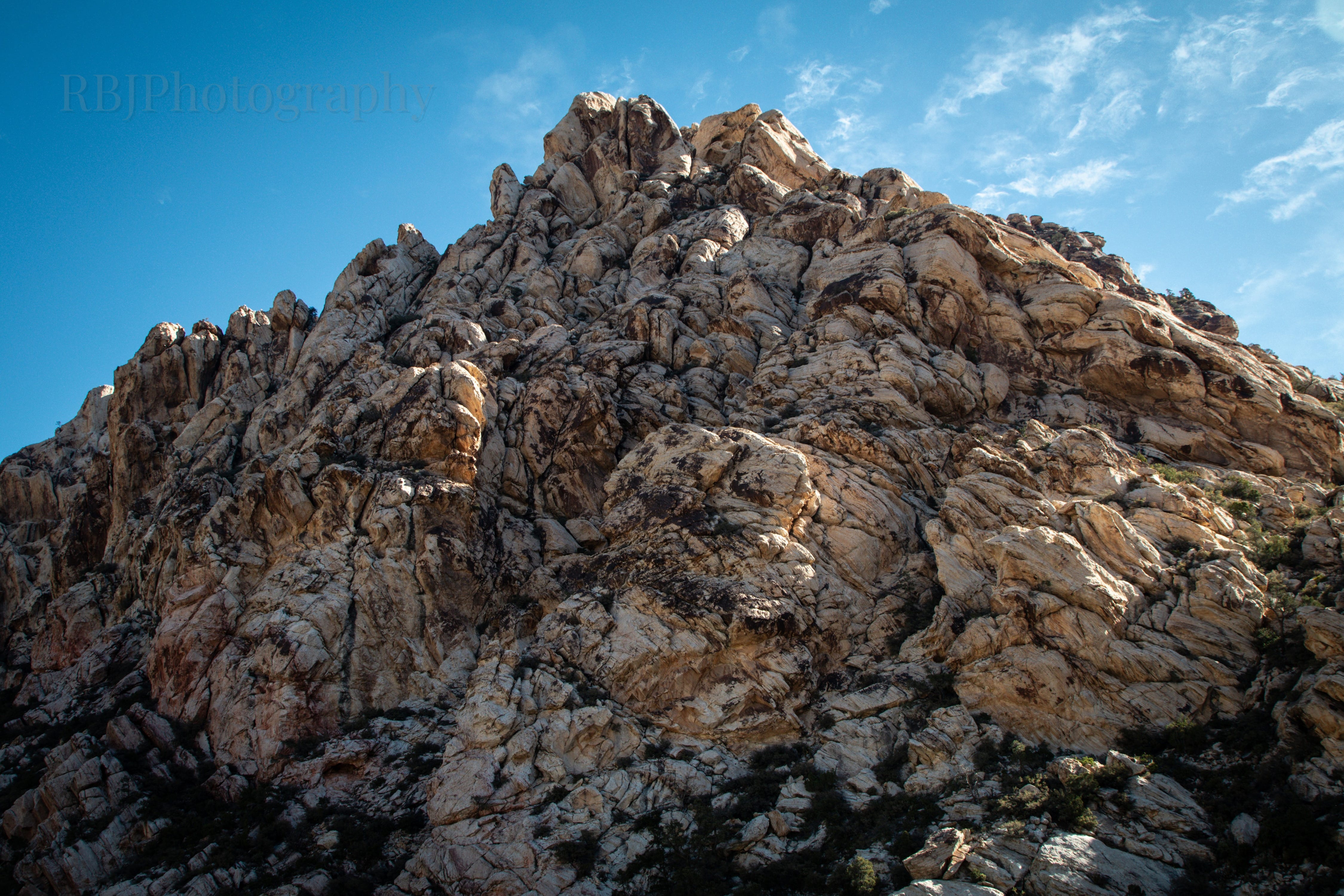
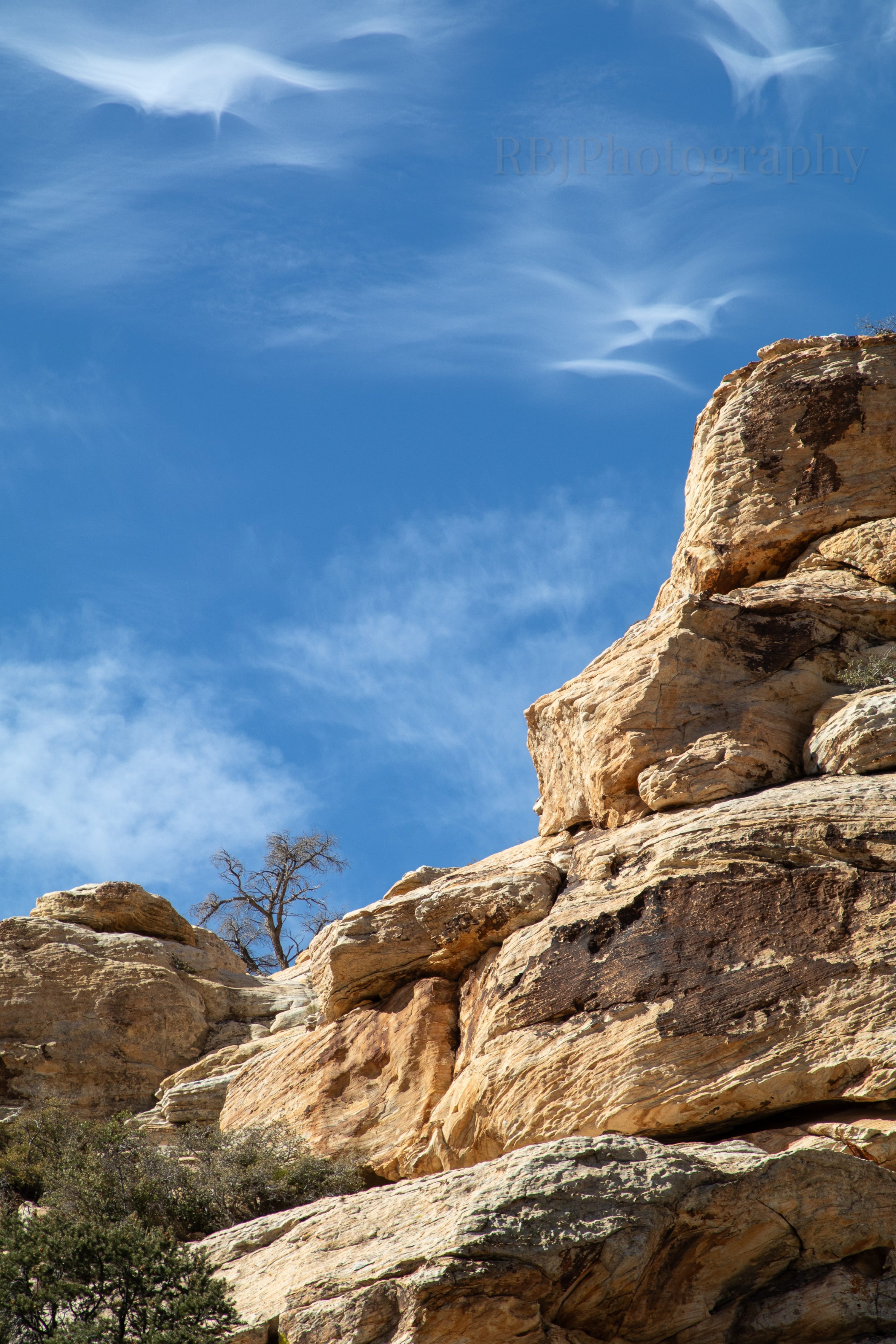
The scenic drive is a one-way “U” through the park. Since I started on the east side, and the Pine Creek Canyon Trail was on the west side, it went towards some of the mountains I hadn’t really had a chance to photograph yet. It was nice to see these mountains up close and photograph the details. There were a number of families on the trail because it was easier and it was later in the day. I didn’t love dodging the kids, but I couldn’t help but smile at their absolute excitement at being out in nature. Trail distance: 2.01 miles.
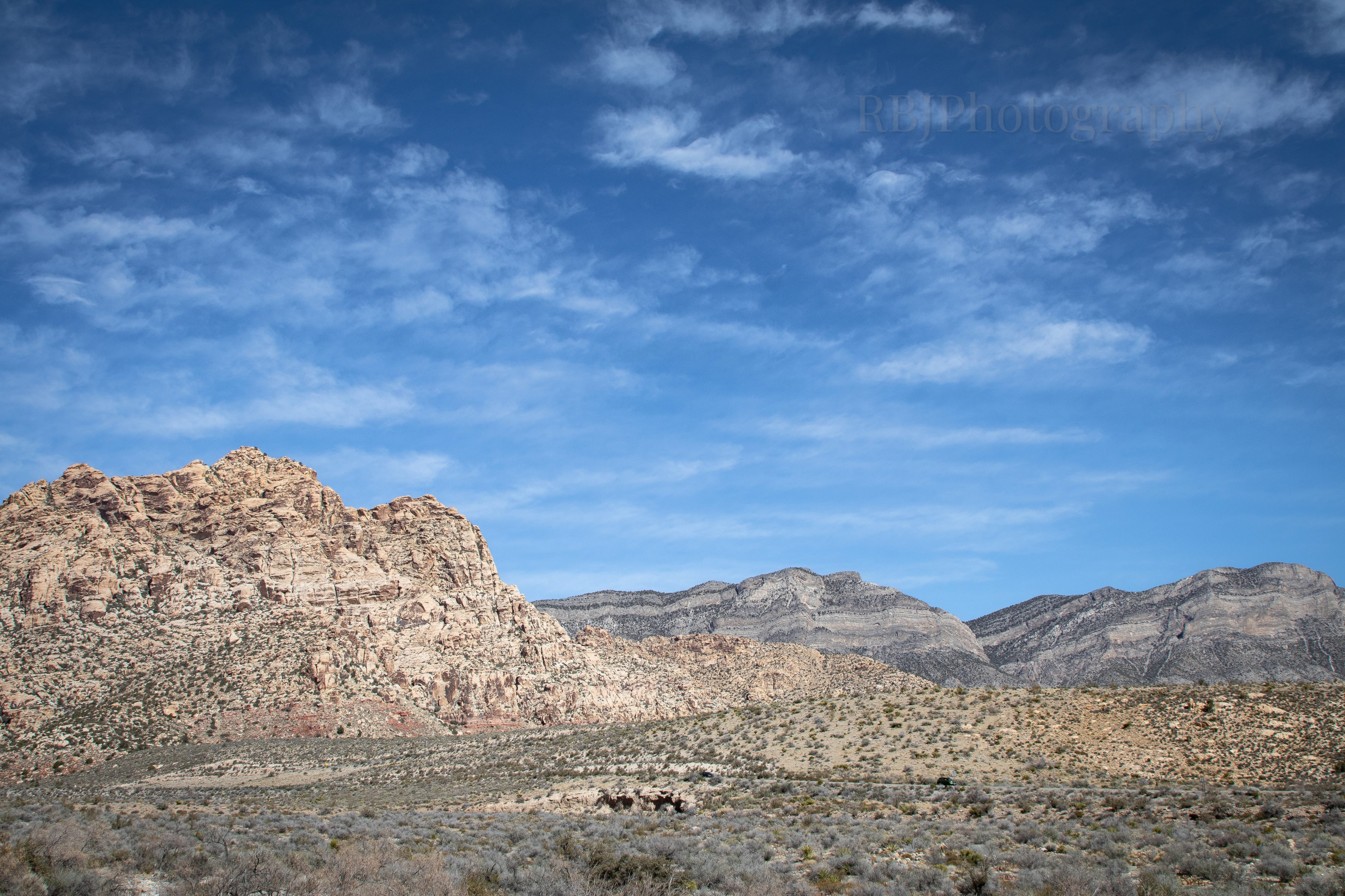
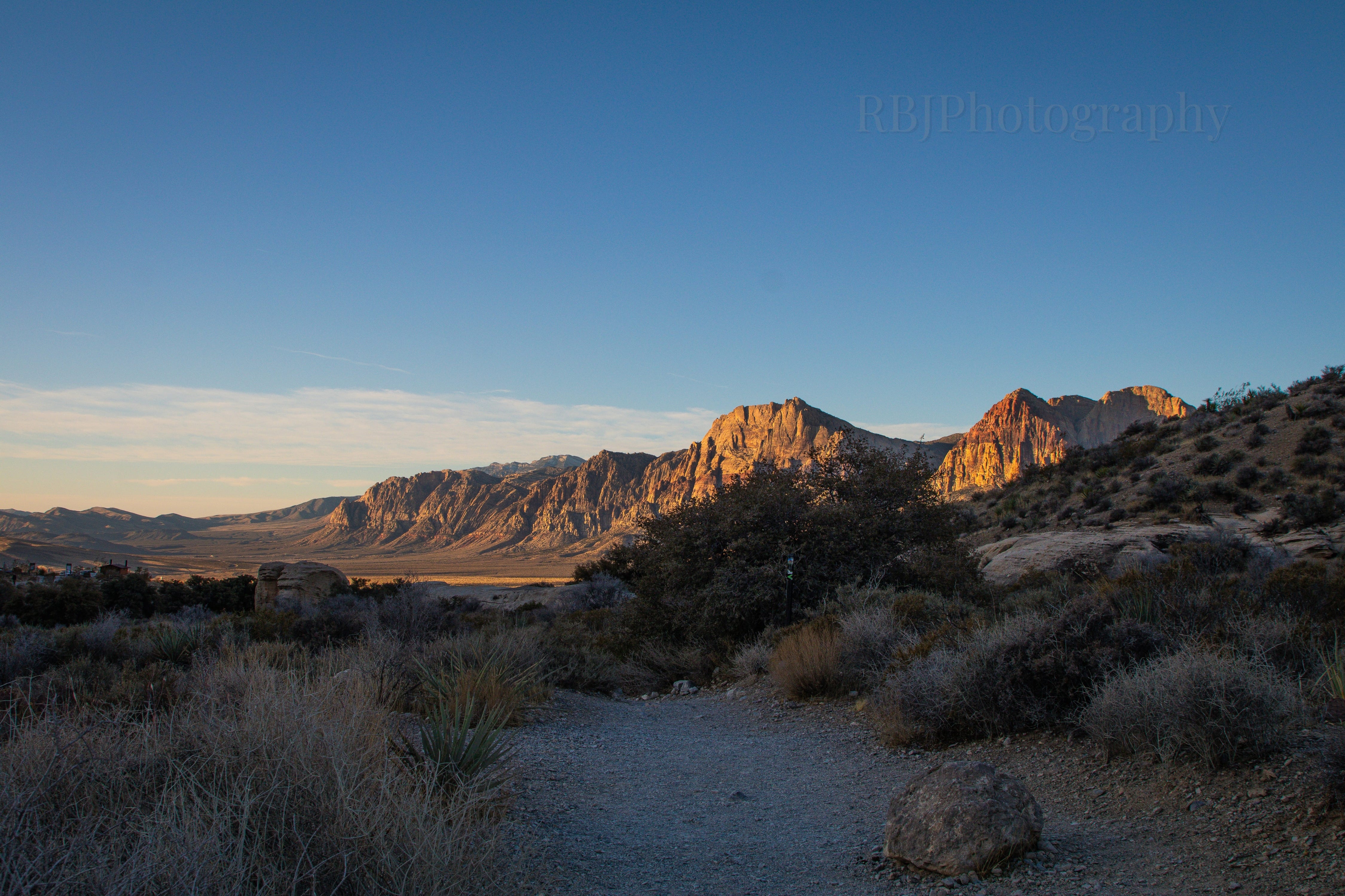
Along the scenic drive, there are very few overlooks with numerous signs posted all along the drive that say, “No stopping or standing at any time.” Or… because I was driving so early with no one else around, I did stop once on the road.
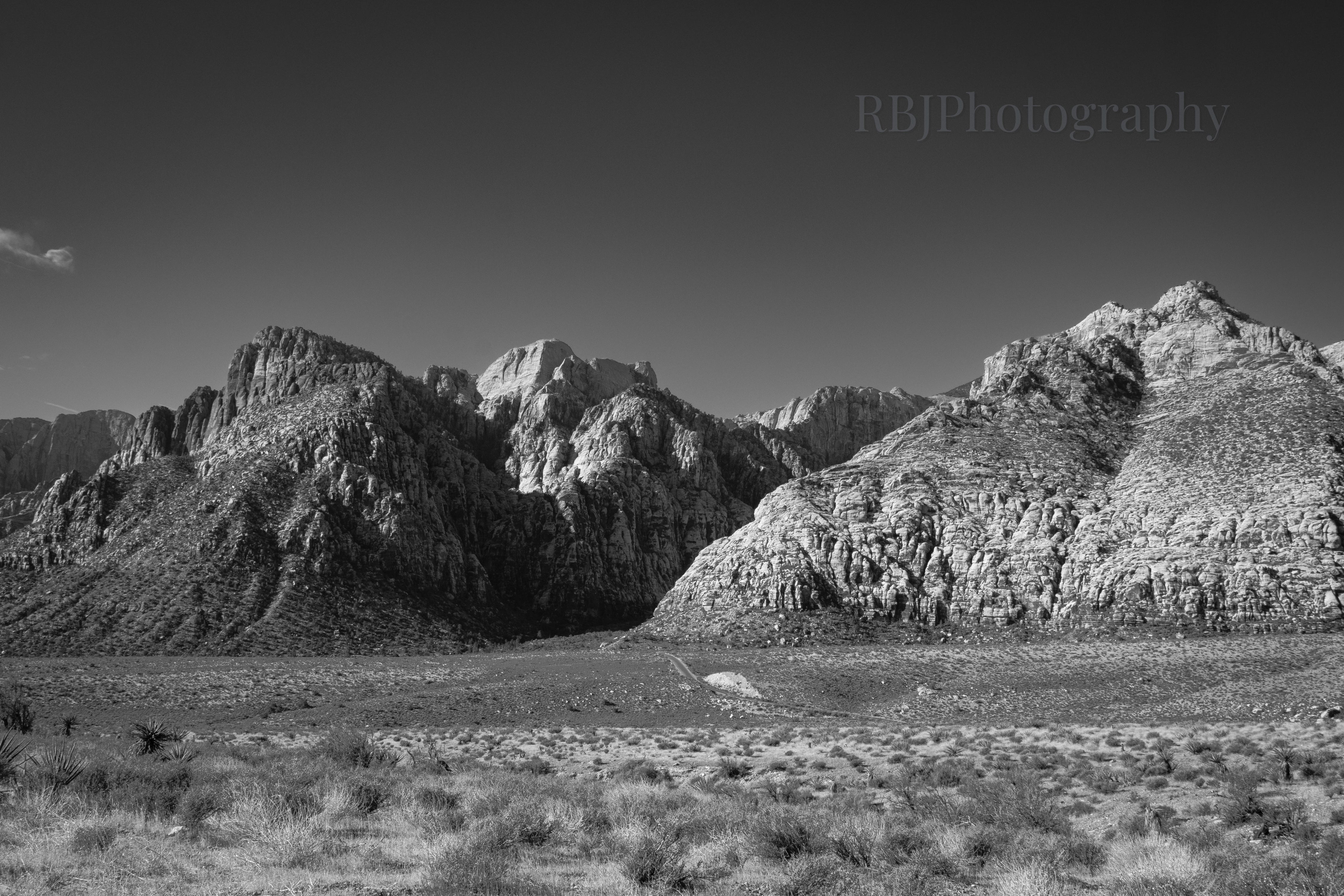
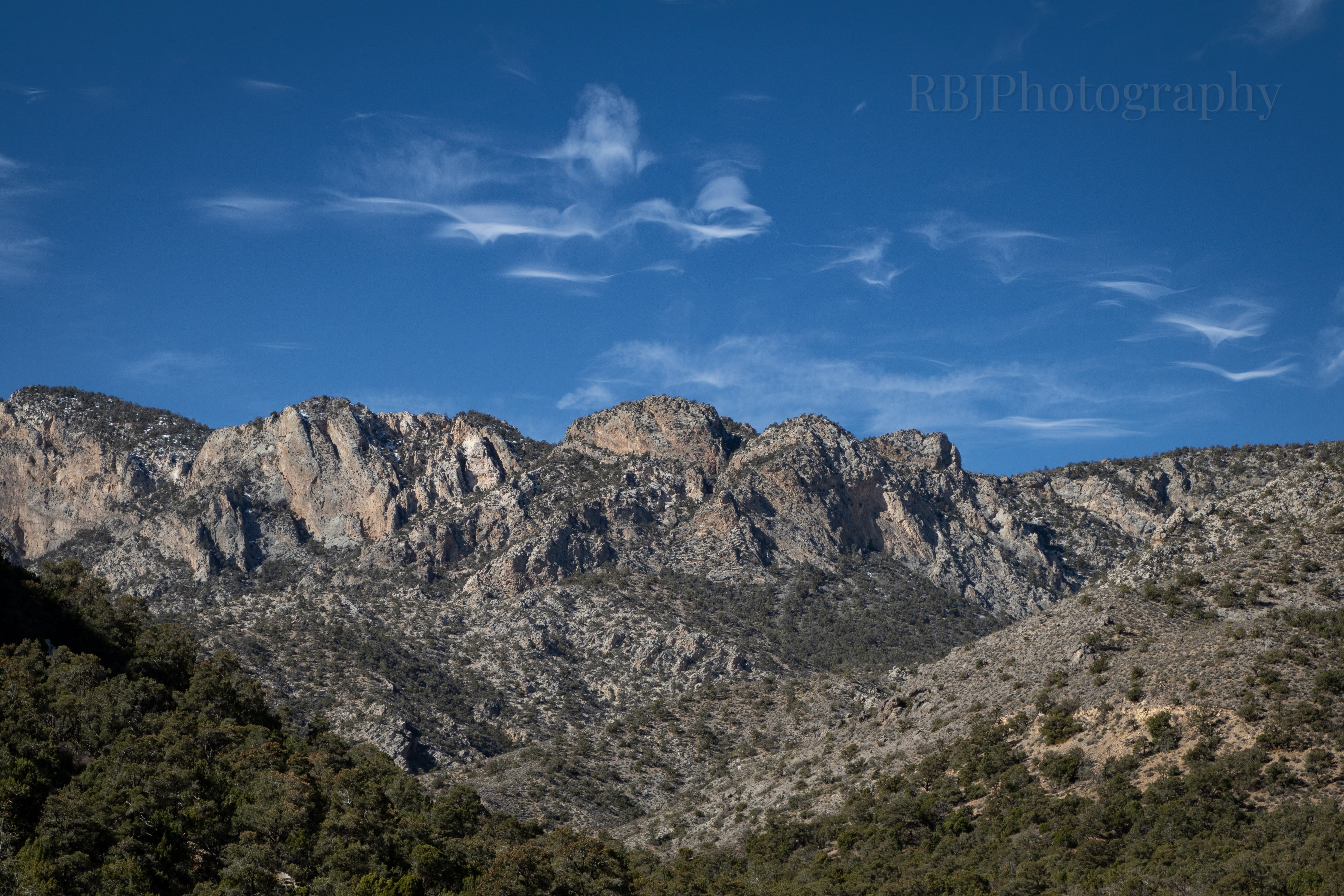
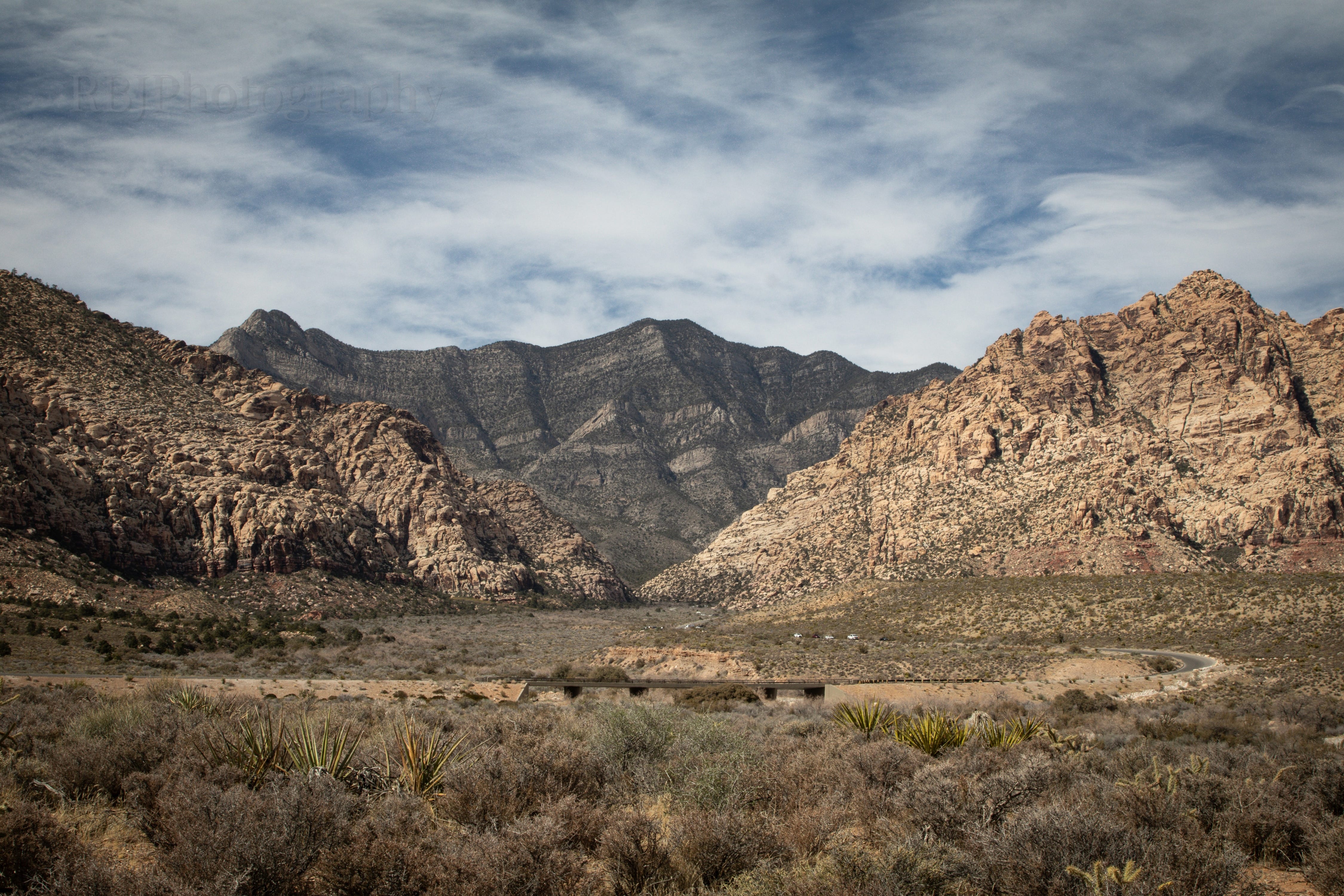
If you are ever in the area, and you only have a chance to drive along the scenic route, it’s worth it. While these peaks are not snow-covered 14ers, they are absolutely gorgeous.
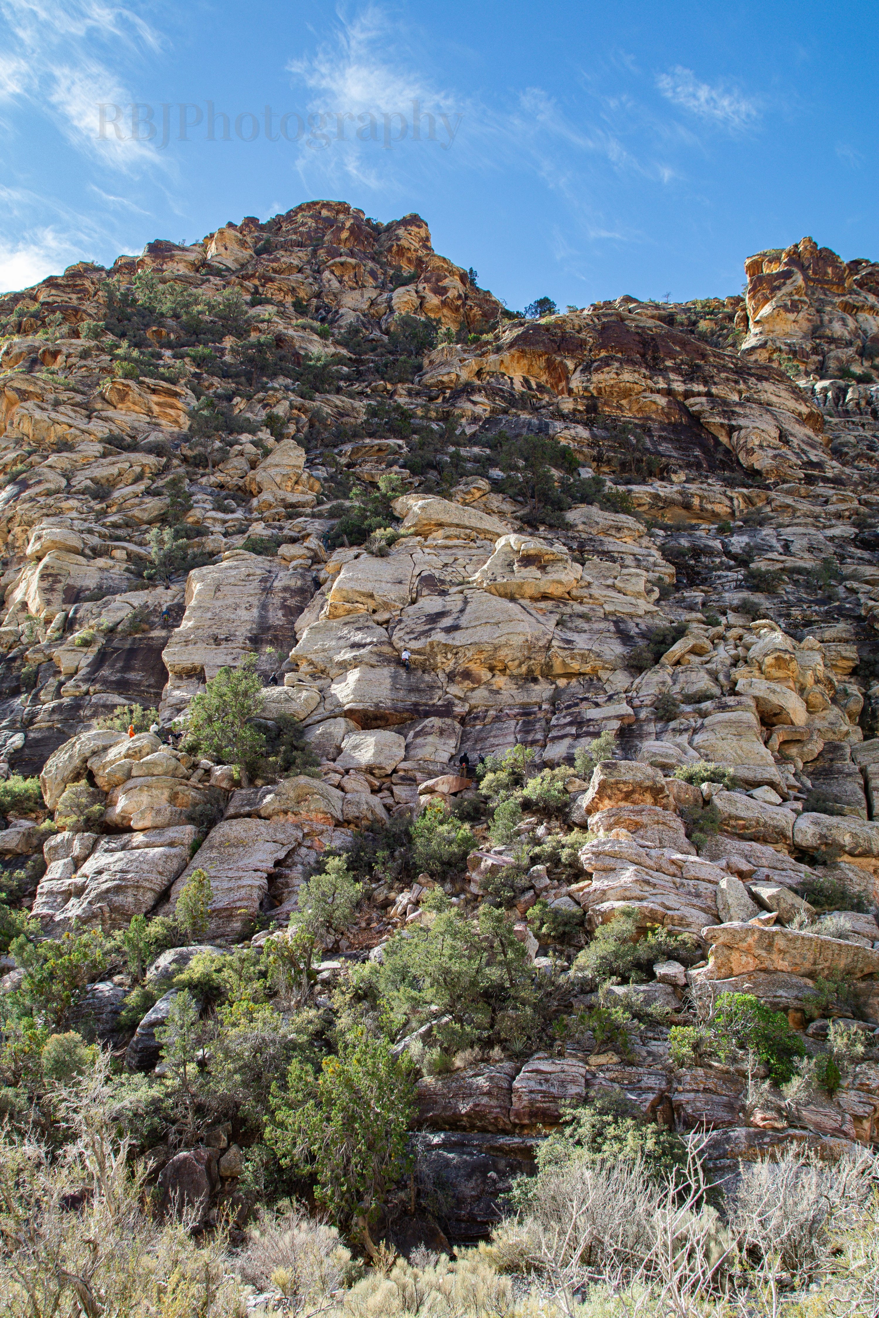
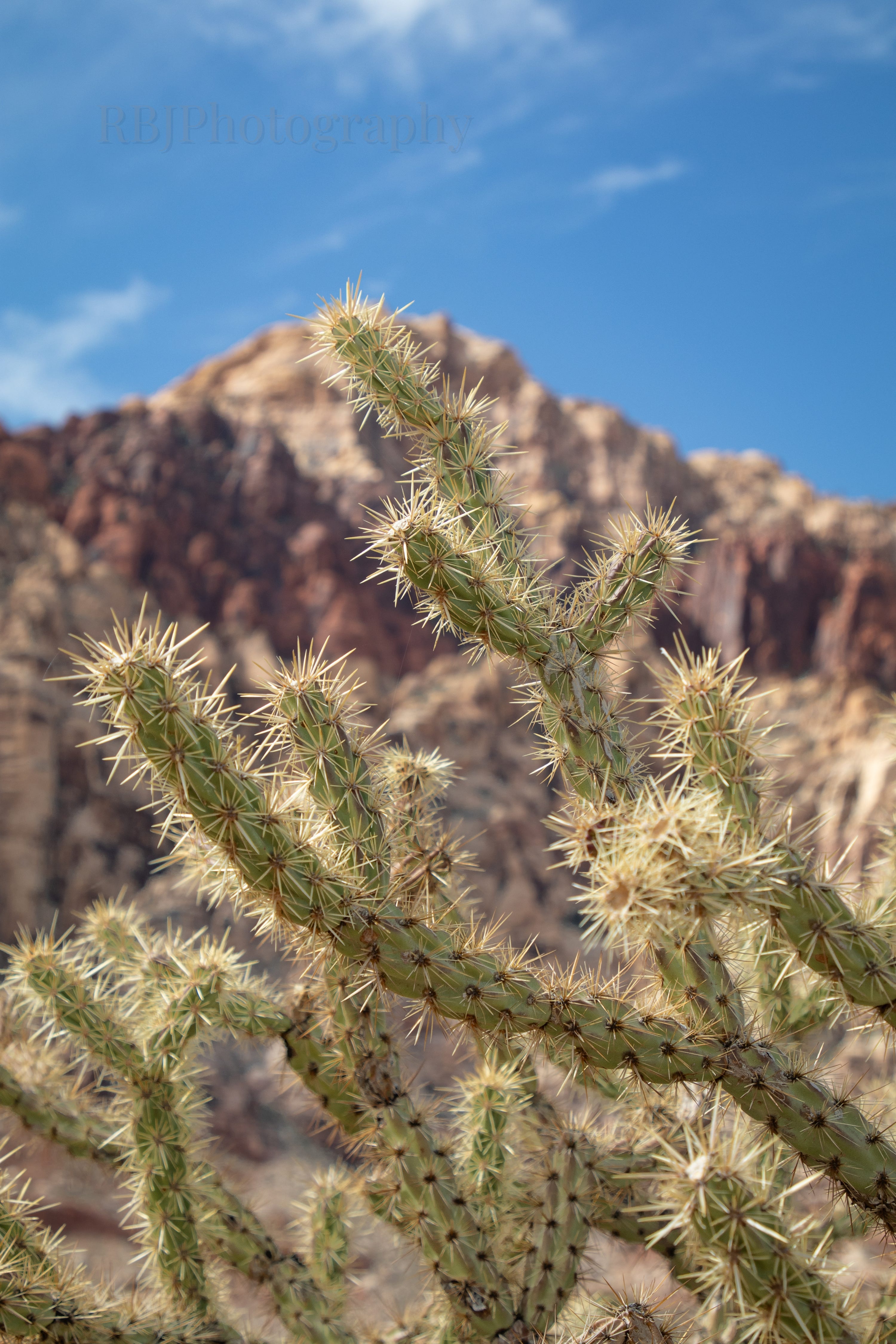
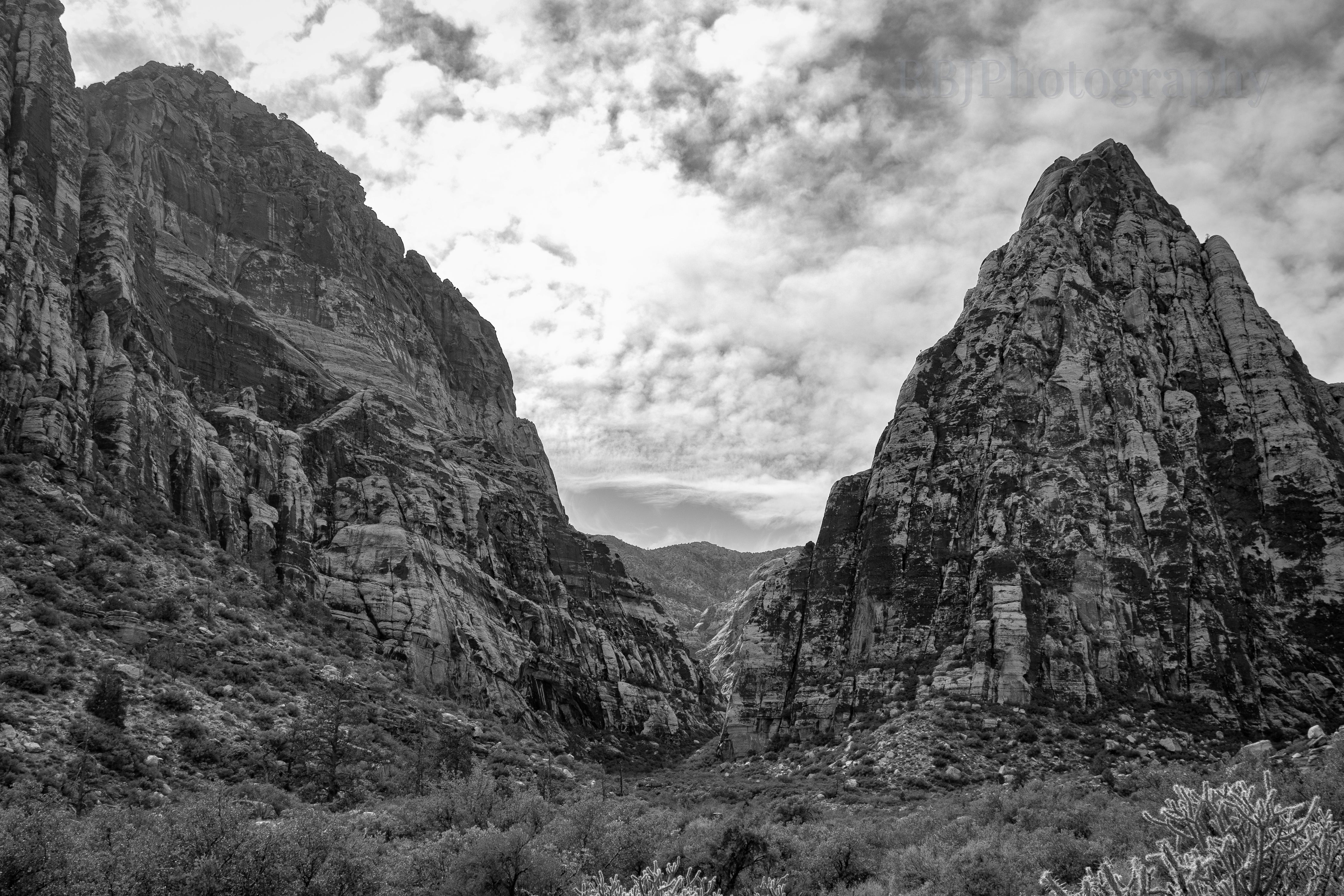
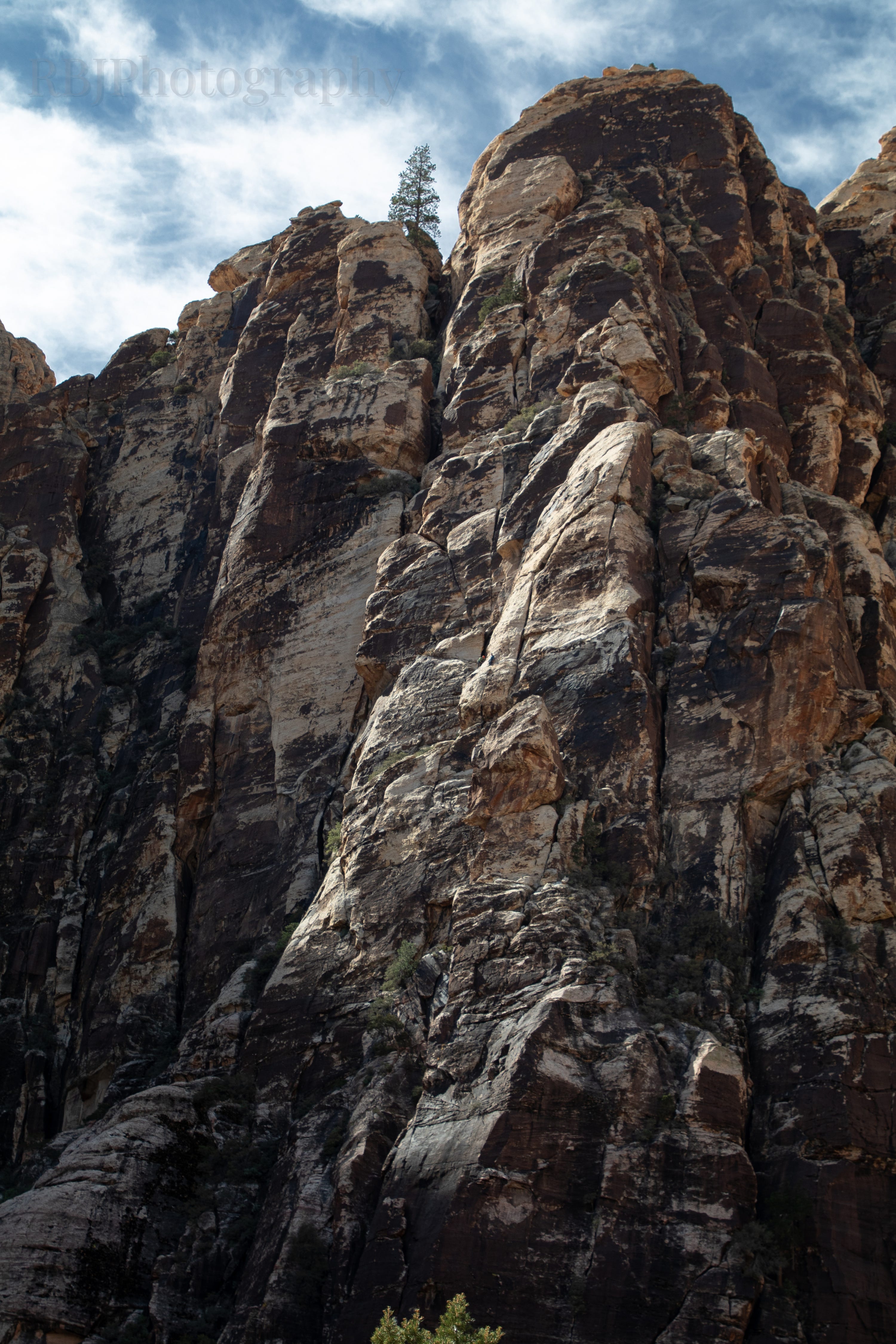
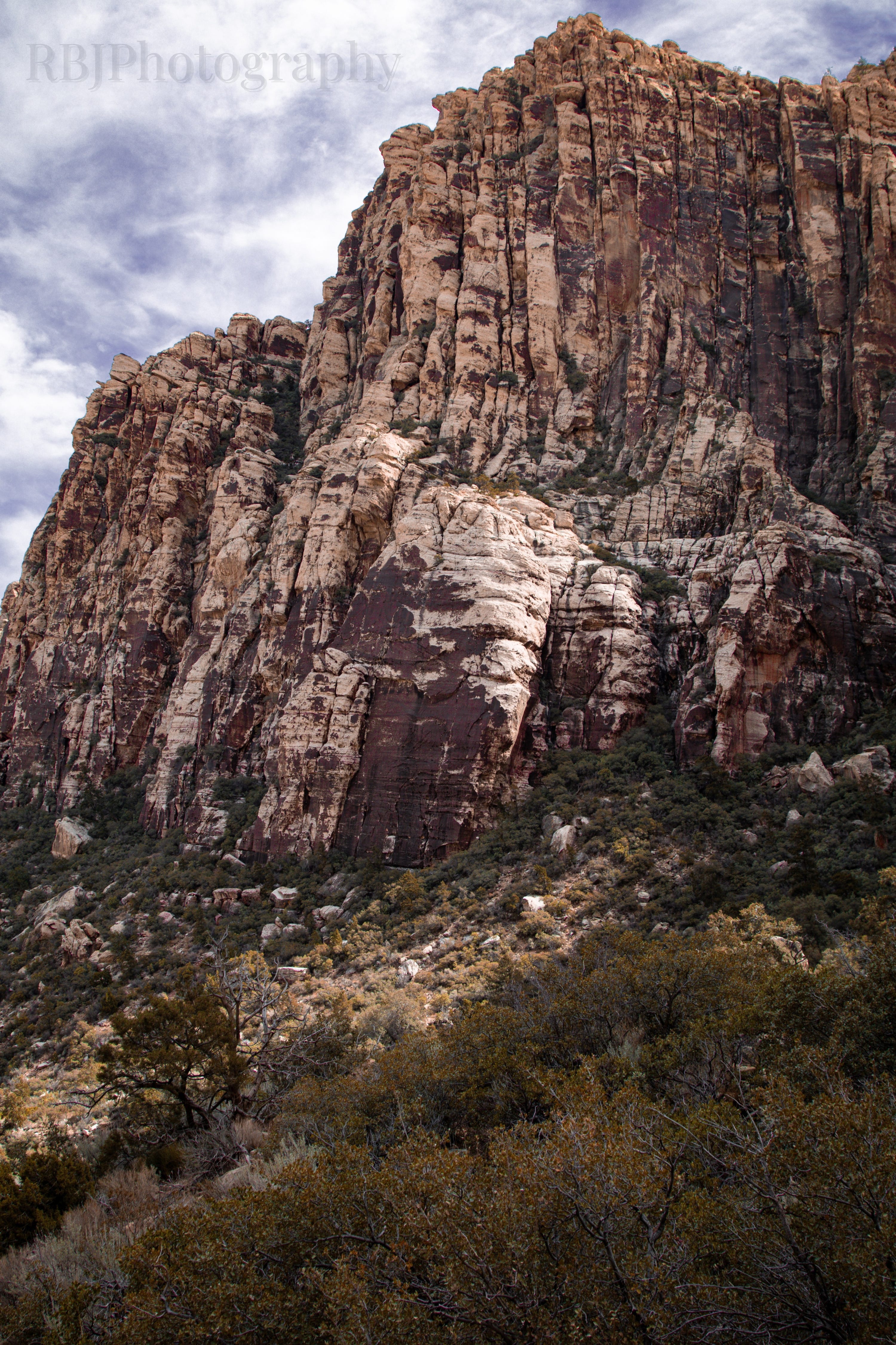
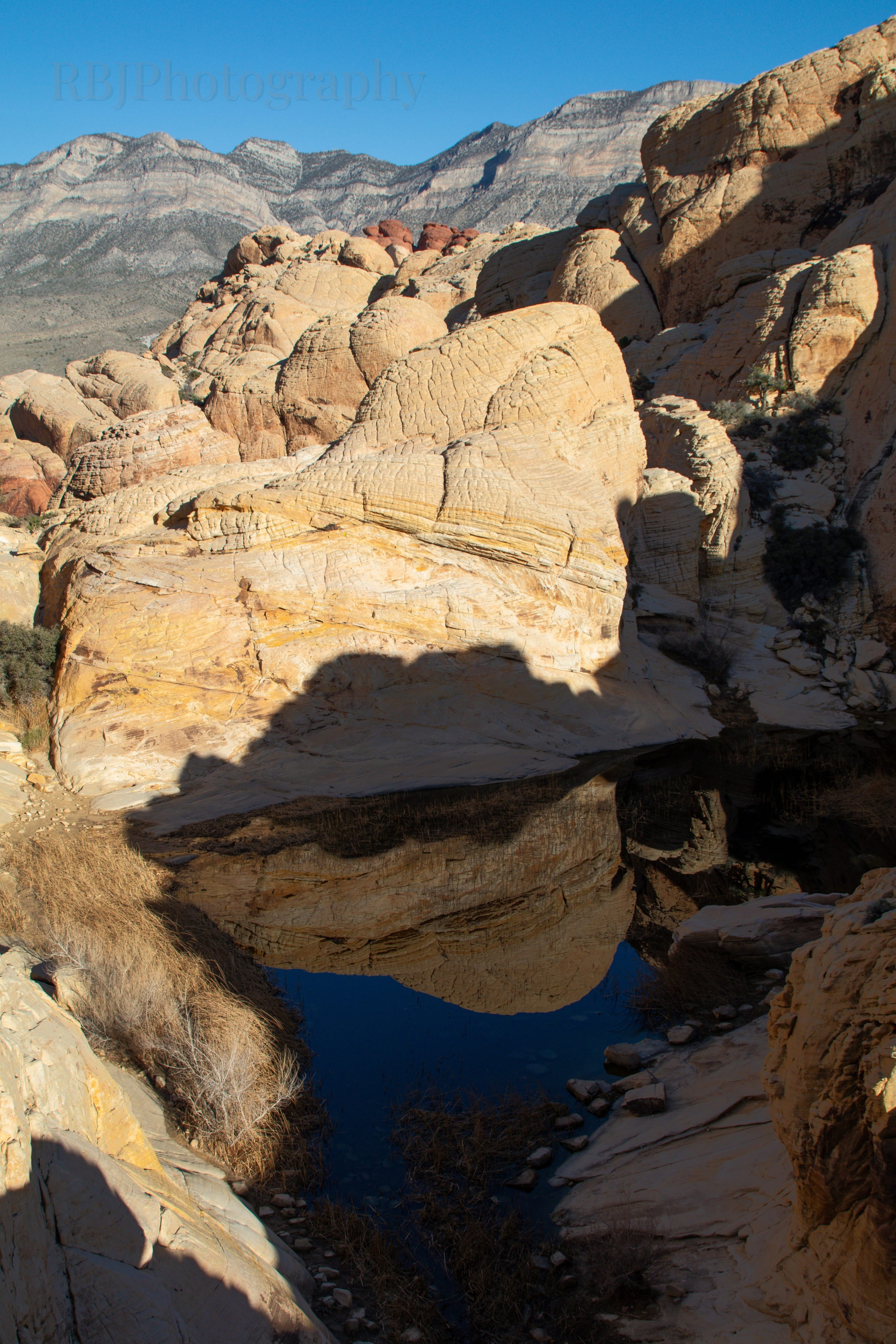
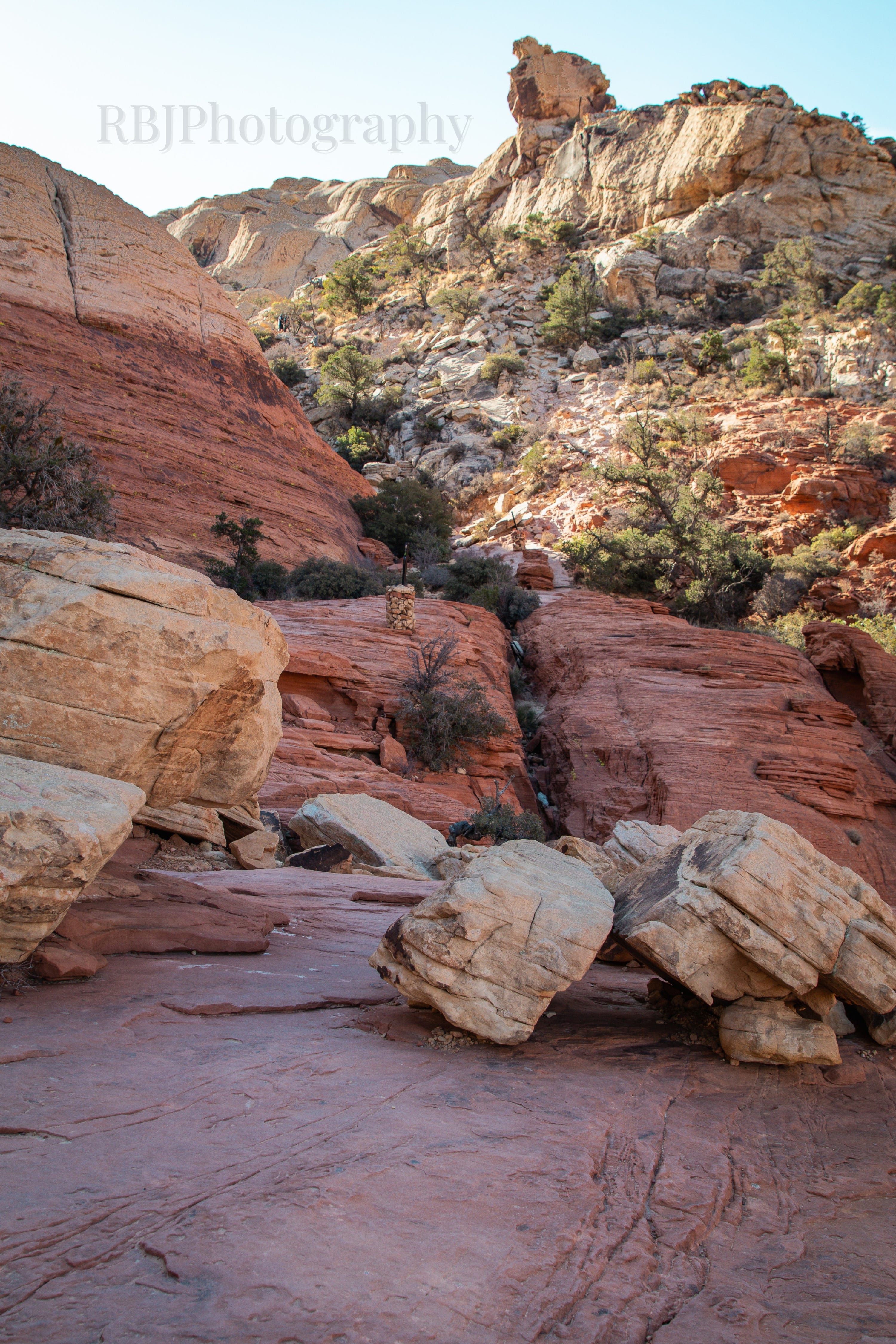
In “2nd place” was Ice Box Canyon trail. As I pulled up to the trailhead, it was evident that I was going to end up in a canyon (duh). I wasn’t entirely sure what I was getting myself into, especially since the comments on AllTrails mentioned that it was challenging to find the trail. I did panic at one point because I thought I lost the trail. I had a downloaded map up, but I couldn’t stay on the right path. I ran into a couple and said, “Are you having problems staying on the trail?” They said, “This IS the trail. You just hike along the river bed.” Once I had that “permission” to go where I wanted, it was much more enjoyable. The river bed was crazy as large rocks filled the bed from flooding over the years, so a lot of the trail was skipping from rock to rock. Sadly, there was no payoff at the end. However, the temperatures (and shade) were much cooler in the canyon. And because I was so focused on rock hopping, I couldn’t think of anything else at the moment. I only saw three other groups of people on the trail which was quite surprising. It felt like a “locals only” trail. Trail distance: 3.25 miles.

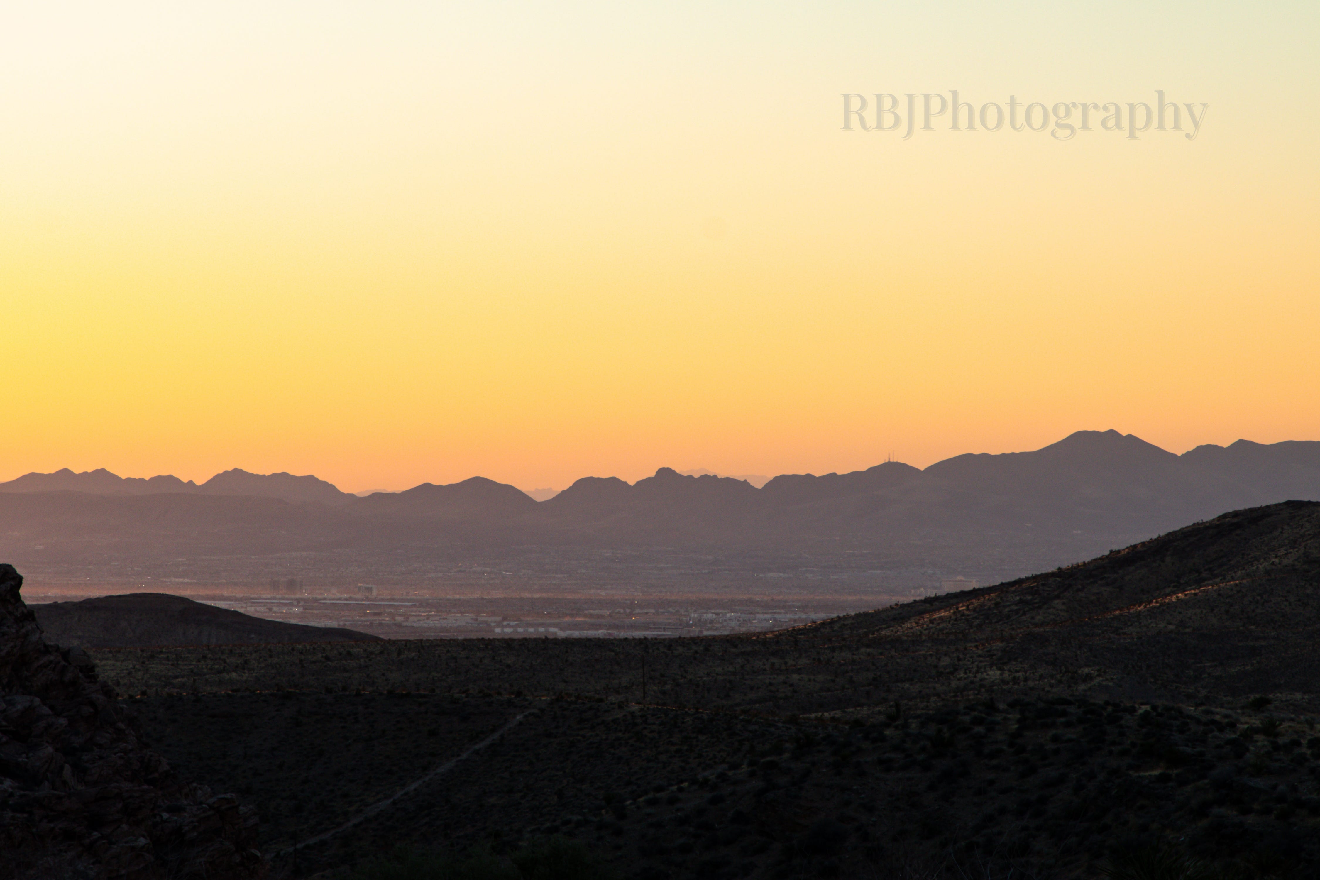
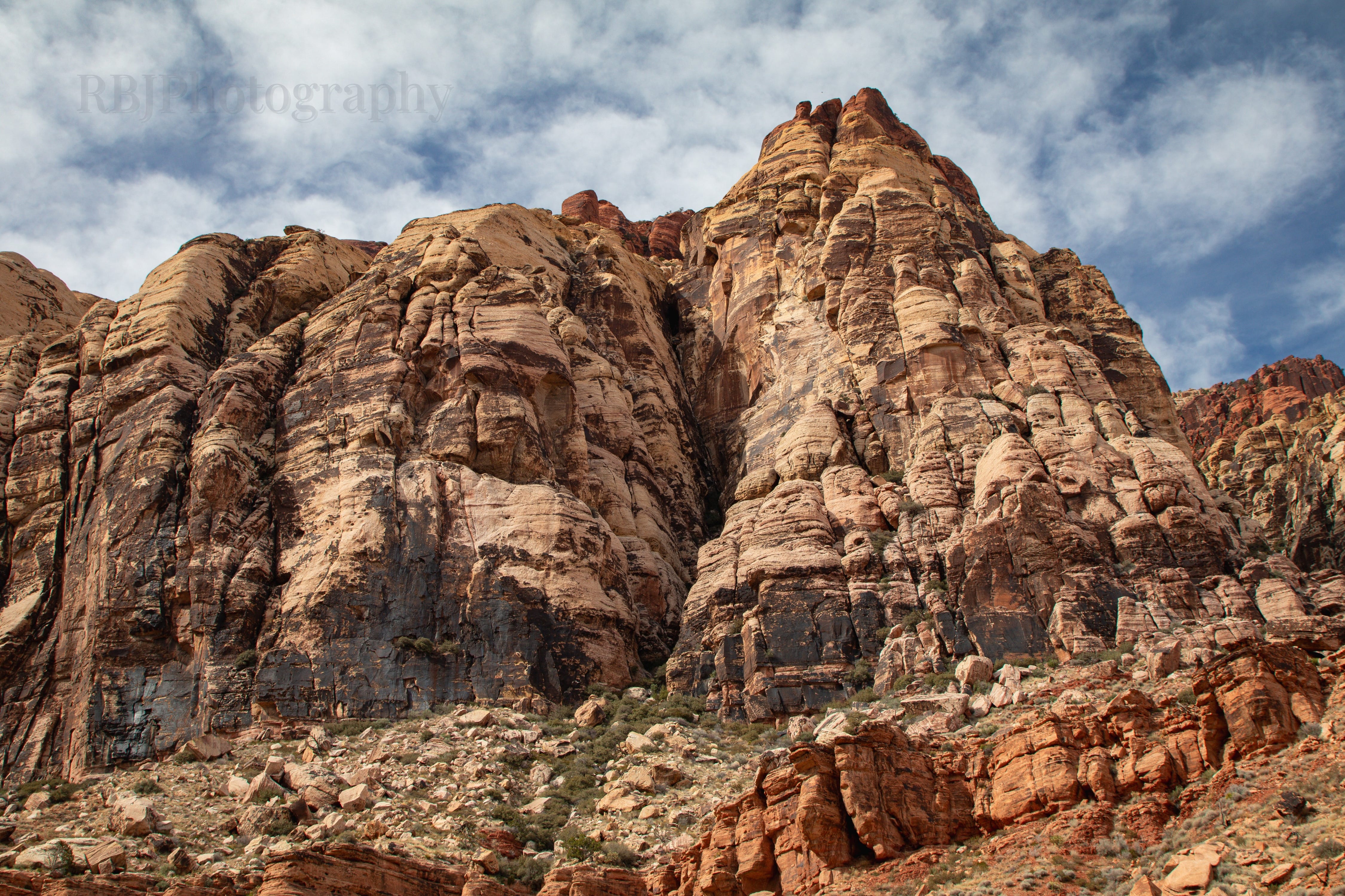
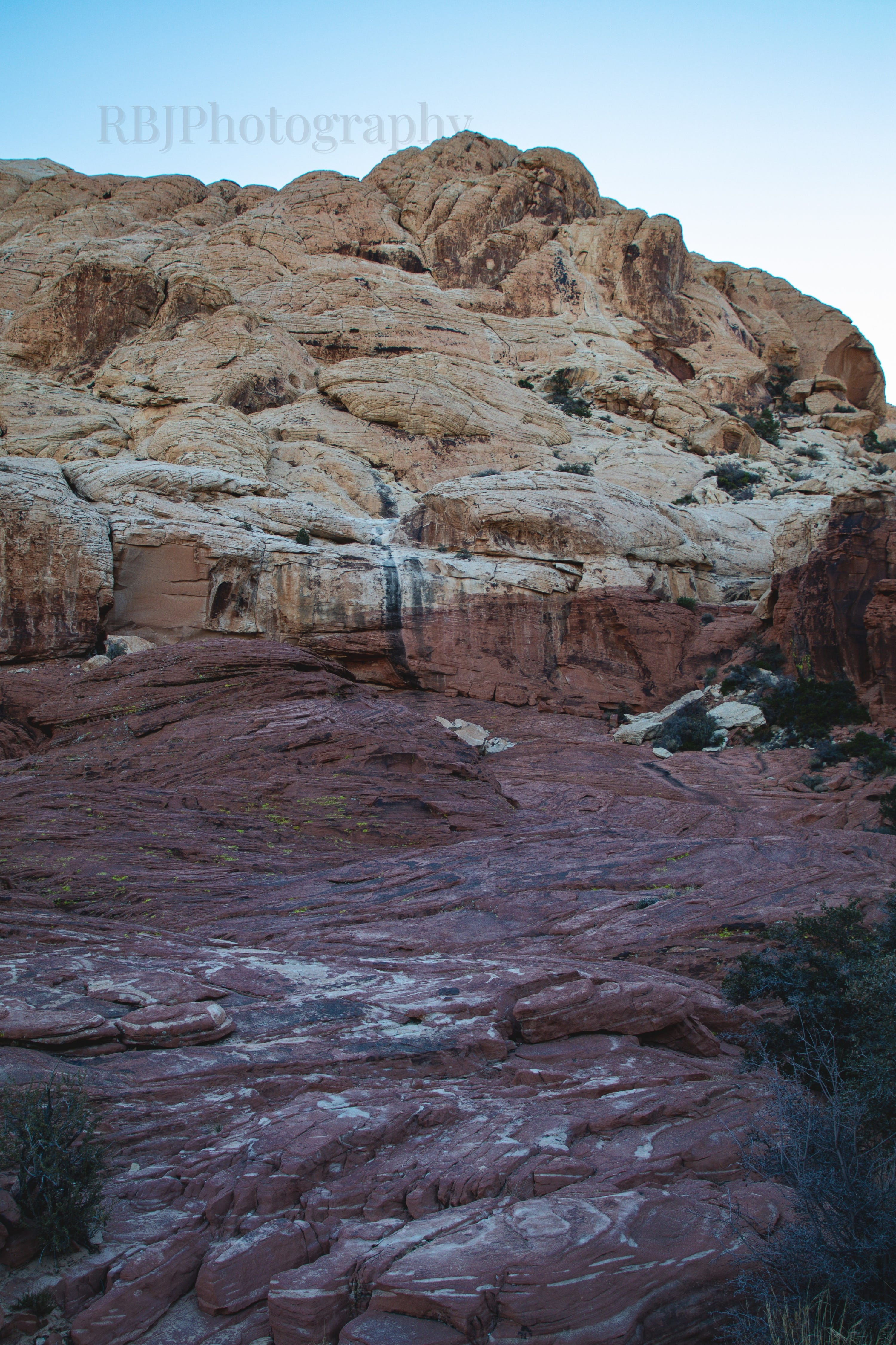
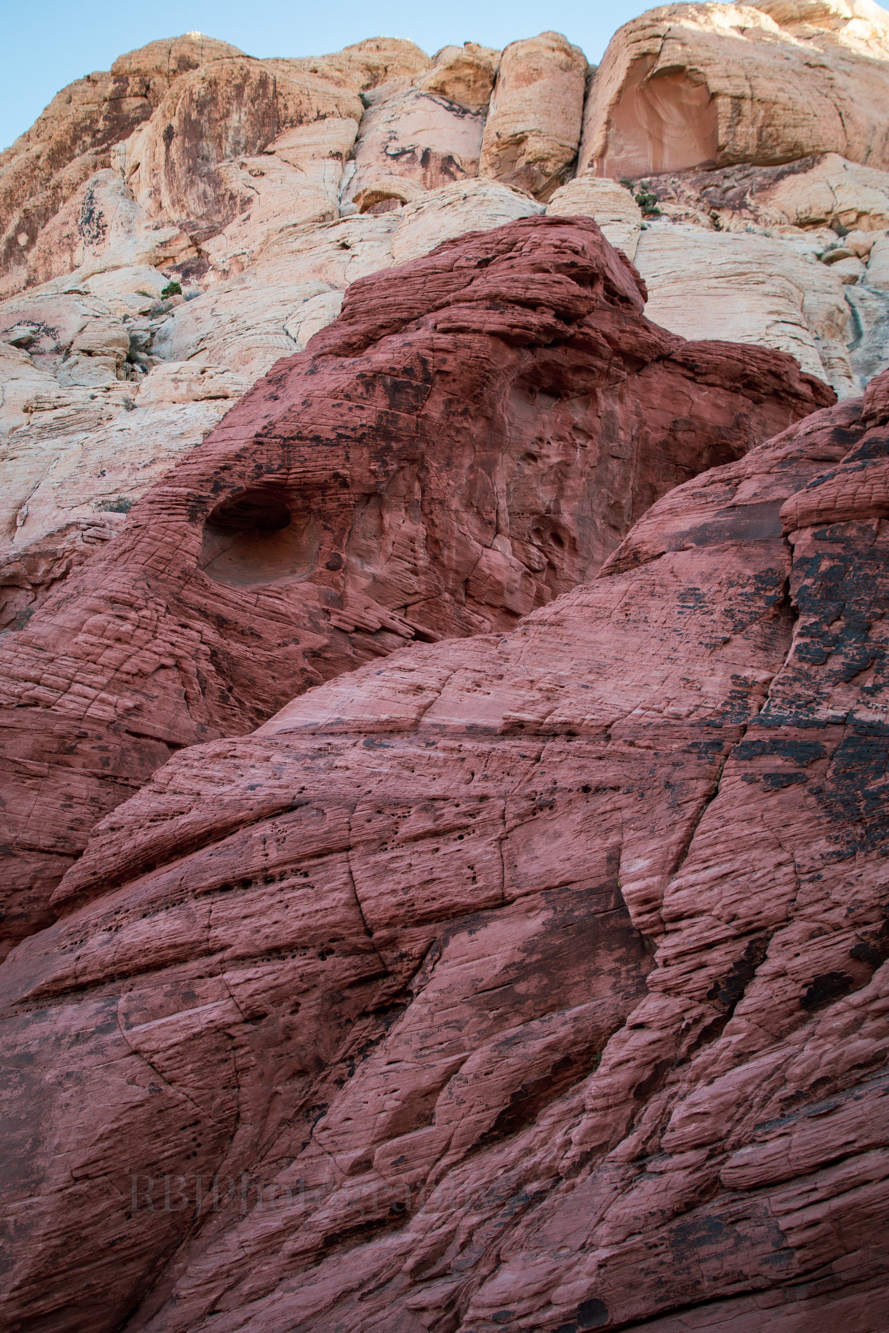
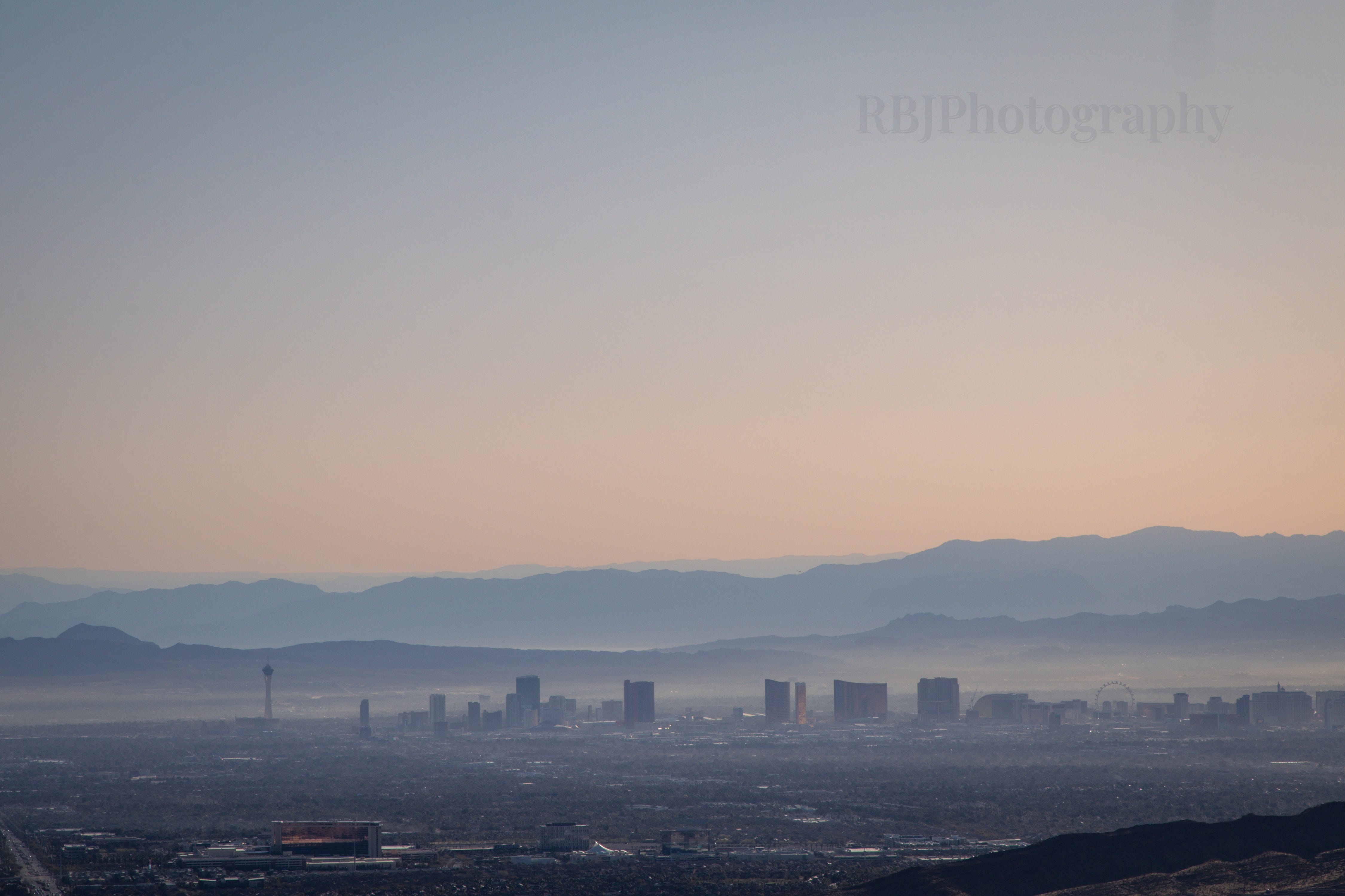
The very first (and what I consider to be the best) trail that I hiked was Calico Tanks Trail. I honestly think this trail is unlike any other trail that I’ve hiked before, except maybe Delicate Arch (though I’m not sure because we hiked most of it in the dark). It was a lot of fun to climb along the red rocks, looking for the sign posts showing you where to go. The light kept changing as the sun rose, so it was quite beautiful. When I made it to the tank at the end, I said out loud, “They’re goddamned lying - there’s no view of Vegas.” Then I ran into another hiker who told me to be careful if I hiked past the tank. I stood and looked around, realizing I could still hike a little more. Then, low and behold, there was a sweet view of the strip. Trail distance: 2.45 miles.
By the end of the day, I was absolutely exhausted. I spent every last ounce of energy that I had and I was STARVING. I knew from map scouring that there was an In n Out in the vicinity, so I drove there for a “natural style” double-double and even ordered a cherry Coke (and I never order soda). It was SO good even if I was hungry again an hour later.
Cheers.
Thanks for the trail info - if I ever get to Vegas this is on my list of places to visit. I'll probably enjoy this more than the Strip 😉
Great pictures and a wonderful back story, Rachel. Do you let somebody know where you’re headed when you hike alone like that? Thanks for sharing 👏